Directions to Shawn Gilbert (Wichita) with public transportation
The following transit lines have routes that pass near Shawn Gilbert
How to get to Shawn Gilbert by bus?
Click on the bus route to see step by step directions with maps, line arrival times and updated time schedules.
From Play To Learn Day Care, Wichita
76 minFrom Lisa Diaz - the Hair Experts, Wichita
52 minFrom Sol Beauty Supply, Wichita
59 minFrom Bmer Tech Automotive, Wichita
66 minFrom One Touch, Wichita
58 minFrom Mullen Court Apartments, Wichita
40 minFrom Garden Plain State Bank, Wichita
53 minFrom Amazon Locker-Tangie, Wichita
53 minFrom E 21st St N, Wichita
52 minFrom Joseph Mc Connell's Hair, Wichita
50 min
Bus stops near Shawn Gilbert in Wichita
Bus lines to Shawn Gilbert in Wichita
What are the closest stations to Shawn Gilbert?
The closest stations to Shawn Gilbert are:
- West And St Louis Ib is 28 yards away, 1 min walk.
- Tracy And 3rd St. is 631 yards away, 8 min walk.
- Central And West Ib is 670 yards away, 8 min walk.
Which bus lines stop near Shawn Gilbert?
These bus lines stop near Shawn Gilbert: ROUTE12: DOUGLAS, ROUTE15: DOUGLAS.
What’s the nearest bus station to Shawn Gilbert in Wichita?
The nearest bus station to Shawn Gilbert in Wichita is West And St Louis Ib. It’s a 1 min walk away.
What time is the first bus to Shawn Gilbert in Wichita?
The ROUTE12: DOUGLAS is the first bus that goes to Shawn Gilbert in Wichita. It stops nearby at 5:06 AM.
What time is the last bus to Shawn Gilbert in Wichita?
The ROUTE12: DOUGLAS is the last bus that goes to Shawn Gilbert in Wichita. It stops nearby at 7:14 PM.
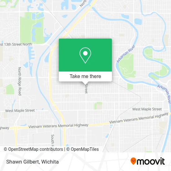
See Shawn Gilbert, Wichita, on the map
Public Transit to Shawn Gilbert in Wichita
Wondering how to get to Shawn Gilbert in Wichita? Moovit helps you find the best way to get to Shawn Gilbert with step-by-step directions from the nearest public transit station.
Moovit provides free maps and live directions to help you navigate through your city. View schedules, routes, timetables, and find out how long does it take to get to Shawn Gilbert in real time.
Looking for the nearest stop or station to Shawn Gilbert? Check out this list of stops closest to your destination: West And St Louis Ib; Tracy And 3rd St.; Central And West Ib.
Bus: ROUTE12: DOUGLAS, ROUTE15: DOUGLAS, ROUTE11: MAPLE-R.
Want to see if there’s another route that gets you there at an earlier time? Moovit helps you find alternative routes or times. Get directions from and directions to Shawn Gilbert easily from the Moovit App or Website.
We make riding to Shawn Gilbert easy, which is why over 1.5 million users, including users in Wichita, trust Moovit as the best app for public transit. You don’t need to download an individual bus app or train app, Moovit is your all-in-one transit app that helps you find the best bus time or train time available.
For information on prices of bus, costs and ride fares to Shawn Gilbert, please check the Moovit app.
Use the app to navigate to popular places including to the airport, hospital, stadium, grocery store, mall, coffee shop, school, college, and university.
Shawn Gilbert Address: 455 N West St Wichita, KS 67212 street in Wichita
- Salon Images,
- Chuyitos Birrieria,
- Just Right Auto Repair,
- Right Recruiting,
- Sure Check Brokerage,
- Synergy Day Spa,
- Epic Heating & Cooling,
- Salon Thairapy Ict,
- Dillons Money Services,
- Coinstar - Bitcoin ATM,
- Coinstar,
- Intrust Bank,
- WESTERN UNION,
- Supercuts,
- Wichita Recover Treatment Center,
- Sandra Means - American Family Insurance,
- Able Janitorial,
- Church's Chicken,
- QLT*McDonalds Sew Vac,
- Church's Texas Chicken
Places Near Shawn Gilbert (Wichita)
- Total Card Solutions, Wichita,
- Westside Athletic Field (Friends University Baseball Field), Wichita,
- North High School, Wichita,
- Ratcliff Auto and Truck Repair, Wichita,
- Sena African Hair Braiding LLC, Wichita,
- Wichita Dwight D. Eisenhower National Airport (ICT) (Wichita Eisenhower National Airport), Wichita,
- East 21st Street North and Webb Road, Wichita,
- Four Corners Cafe @ Wesley Medical Center, Wichita,
- Paige Place Apartments, Wichita,
- McConnell Air Force Base, Mcconnell Afb,
- Spirit Aerosystems,
- winfield, Wichita,
- Spirit AeroSystems, Bldg 2-280J (Section 9),
- Spirit Aerosystems Inc, Building 1-198D,
- Afghan Halal Market, Wichita,
- Cookies by Design, Wichita,
- Hubb's glory hole, Wichita,
- Bmer Tech Automotive, Wichita,
- Towne East Mall, Wichita,
- Ascencion Via Christi Hospital St Francis, Wichita
How to get to popular places in Wichita with public transit
Get around Wichita by public transit!
Traveling around Wichita has never been so easy. See step by step directions as you travel to any attraction, street or major public transit station. View bus and train schedules, arrival times, service alerts and detailed routes on a map, so you know exactly how to get to anywhere in Wichita.
When traveling to any destination around Wichita use Moovit's Live Directions with Get Off Notifications to know exactly where and how far to walk, how long to wait for your line, and how many stops are left. Moovit will alert you when it's time to get off — no need to constantly re-check whether yours is the next stop.
Wondering how to use public transit in Wichita or how to pay for public transit in Wichita? Moovit public transit app can help you navigate your way with public transit easily, and at minimum cost. It includes public transit fees, ticket prices, and costs. Looking for a map of Wichita public transit lines? Moovit public transit app shows all public transit maps in Wichita with all bus routes and stops on an interactive map.
Wichita has 1 transit type(s), including: bus, operated by several transit agencies, including Wichita Transit, Greyhound-us and FlixBus-us