Directions to Sheets Morrie (Wichita) with public transportation
The following transit lines have routes that pass near Sheets Morrie
How to get to Sheets Morrie by bus?
Click on the bus route to see step by step directions with maps, line arrival times and updated time schedules.
From Innovative Infusion Specialists, Wichita
50 minFrom Indian Hills Laundry, Wichita
25 minFrom Gordita's Norma, Wichita
53 minFrom Hope 4 da Hood Inc, Wichita
67 minFrom 316 Health Insurance, Wichita
35 minFrom Phil's Farm & Butchery, Wichita
57 minFrom Car smart, Wichita
55 minFrom Boost Mobile, Wichita
56 minFrom N Jackson Ave, Wichita
58 minFrom Autozone Auto Parts, Wichita
48 min
Bus stops near Sheets Morrie in Wichita
Bus lines to Sheets Morrie in Wichita
What are the closest stations to Sheets Morrie?
The closest stations to Sheets Morrie are:
- Armour And Morris Ob is 601 yards away, 8 min walk.
- Rock Rd And Peachtree Nb is 626 yards away, 8 min walk.
- Kellogg Dr & Rock Ob is 819 yards away, 10 min walk.
- Ljs Rock And Kellogg is 958 yards away, 12 min walk.
Which bus lines stop near Sheets Morrie?
These bus lines stop near Sheets Morrie: ROUTE25: E CENTR, ROUTE29: HYDRAUL.
What’s the nearest bus station to Sheets Morrie in Wichita?
The nearest bus stations to Sheets Morrie in Wichita are Armour And Morris Ob and Rock Rd And Peachtree Nb. The closest one is a 8 min walk away.
What time is the first bus to Sheets Morrie in Wichita?
The ROUTE29: HYDRAUL is the first bus that goes to Sheets Morrie in Wichita. It stops nearby at 5:17 AM.
What time is the last bus to Sheets Morrie in Wichita?
The ROUTE29: HYDRAUL is the last bus that goes to Sheets Morrie in Wichita. It stops nearby at 7:08 PM.
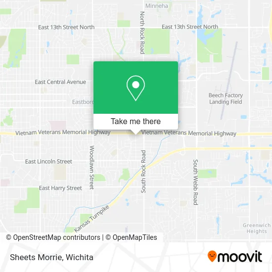
See Sheets Morrie, Wichita, on the map
Public Transit to Sheets Morrie in Wichita
Wondering how to get to Sheets Morrie in Wichita? Moovit helps you find the best way to get to Sheets Morrie with step-by-step directions from the nearest public transit station.
Moovit provides free maps and live directions to help you navigate through your city. View schedules, routes, timetables, and find out how long does it take to get to Sheets Morrie in real time.
Looking for the nearest stop or station to Sheets Morrie? Check out this list of stops closest to your destination: Armour And Morris Ob; Rock Rd And Peachtree Nb; Kellogg Dr & Rock Ob; Ljs Rock And Kellogg.
Bus: ROUTE25: E CENTR, ROUTE29: HYDRAUL, ROUTE201: ROCK R, SOUTHEAST HIGH.
Want to see if there’s another route that gets you there at an earlier time? Moovit helps you find alternative routes or times. Get directions from and directions to Sheets Morrie easily from the Moovit App or Website.
We make riding to Sheets Morrie easy, which is why over 1.5 million users, including users in Wichita, trust Moovit as the best app for public transit. You don’t need to download an individual bus app or train app, Moovit is your all-in-one transit app that helps you find the best bus time or train time available.
For information on prices of bus, costs and ride fares to Sheets Morrie, please check the Moovit app.
Use the app to navigate to popular places including to the airport, hospital, stadium, grocery store, mall, coffee shop, school, college, and university.
Sheets Morrie Address: 7701 E Kellogg Dr S Wichita, KS 67207 street in Wichita
- Squier 7 L Ranch,
- Anbw,
- Thomas M Ruane Chartered Life Underwriter,
- Optimum Management Group,
- Plains All American,
- Conquest Homes Investors,
- Cohlmia,
- City Code Financial,
- Orizon Aerostructures,
- Vantage Pointe Financial,
- Everson Tax & Financial Service,
- Twotrees Technologies,
- Overeaters Anonymous,
- Edward M Plopa CPA,
- Giroux Daniel Attorney,
- Voicestream Wireless,
- Brilliant Bank,
- Tim Leblanc Architectural Engineering,
- Jennifer Woodson, LMSW,
- Pro Image
Places Near Sheets Morrie (Wichita)
- Ascencion Via Christi Hospital St Francis, Wichita,
- Afghan Halal Market, Wichita,
- North High School, Wichita,
- Ratcliff Auto and Truck Repair, Wichita,
- Four Corners Cafe @ Wesley Medical Center, Wichita,
- Bmer Tech Automotive, Wichita,
- Spirit Aerosystems Inc, Building 1-198D,
- Total Card Solutions, Wichita,
- Spirit AeroSystems, Bldg 2-280J (Section 9),
- Lopez Services, Wichita,
- Spirit Aerosystems,
- Hubb's glory hole, Wichita,
- East 21st Street North and Webb Road, Wichita,
- Paige Place Apartments, Wichita,
- Sena African Hair Braiding LLC, Wichita,
- McConnell Air Force Base, Mcconnell Afb,
- Wichita Dwight D. Eisenhower National Airport (ICT) (Wichita Eisenhower National Airport), Wichita,
- Westside Athletic Field (Friends University Baseball Field), Wichita,
- Towne East Mall, Wichita,
- 21st & Maize, Wichita
How to get to popular places in Wichita with public transit
Get around Wichita by public transit!
Traveling around Wichita has never been so easy. See step by step directions as you travel to any attraction, street or major public transit station. View bus and train schedules, arrival times, service alerts and detailed routes on a map, so you know exactly how to get to anywhere in Wichita.
When traveling to any destination around Wichita use Moovit's Live Directions with Get Off Notifications to know exactly where and how far to walk, how long to wait for your line, and how many stops are left. Moovit will alert you when it's time to get off — no need to constantly re-check whether yours is the next stop.
Wondering how to use public transit in Wichita or how to pay for public transit in Wichita? Moovit public transit app can help you navigate your way with public transit easily, and at minimum cost. It includes public transit fees, ticket prices, and costs. Looking for a map of Wichita public transit lines? Moovit public transit app shows all public transit maps in Wichita with all bus routes and stops on an interactive map.
Wichita has 1 transit type(s), including: bus, operated by several transit agencies, including Wichita Transit, Greyhound-us and FlixBus-us