How to get to Shell by bus?
Click on the bus route to see step by step directions with maps, line arrival times and updated time schedules.
From 3950 S Las Vegas Blvd, Las Vegas, NV 89119, Paradise
61 minFrom Absolute Dental - Sunset, Paradise
56 minFrom Skyfall Lounge, Paradise
58 minFrom Four Seasons Hotel Las Vegas, Paradise
56 minFrom E Russell Rd / S Eastern Ave, Paradise
49 minFrom Ethel M Chocolate Factory & Gardens, Henderson
66 minFrom The Shoppes at Mandalay Place, Paradise
56 minFrom Skyline Lash, Paradise
55 minFrom Michael Jackson One by Cirque du Soleil, Paradise
57 minFrom Allegiant Stadium, Paradise
67 min
Bus stops near Shell in Paradise
Bus lines to Shell in Paradise
What are the closest stations to Shell?
The closest stations to Shell are:
- Eb Cactus After Aphrodite is 947 yards away, 12 min walk.
- Wb Silverado Ranch After Pollock is 958 yards away, 12 min walk.
- Sb Maryland After Le Baron is 1056 yards away, 13 min walk.
Which bus lines stop near Shell?
These bus lines stop near Shell: 117, 122.
What’s the nearest bus station to Shell in Paradise?
The nearest bus stations to Shell in Paradise are Eb Cactus After Aphrodite and Wb Silverado Ranch After Pollock. The closest one is a 12 min walk away.
What time is the first bus to Shell in Paradise?
The 117 is the first bus that goes to Shell in Paradise. It stops nearby at 4:22 AM.
What time is the last bus to Shell in Paradise?
The 117 is the last bus that goes to Shell in Paradise. It stops nearby at 2:10 AM.
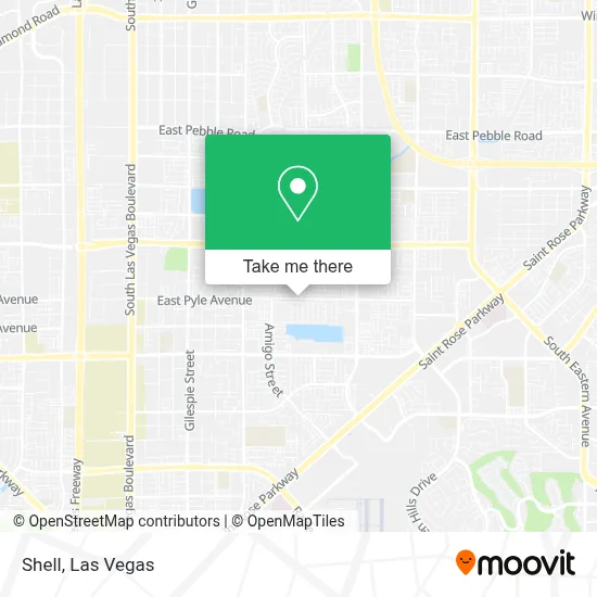
See Shell, Paradise, on the map
Public Transit to Shell in Paradise
Wondering how to get to Shell in Paradise? Moovit helps you find the best way to get to Shell with step-by-step directions from the nearest public transit station.
Moovit provides free maps and live directions to help you navigate through your city. View schedules, routes, timetables, and find out how long does it take to get to Shell in real time.
Looking for the nearest stop or station to Shell? Check out this list of stops closest to your destination: Eb Cactus After Aphrodite; Wb Silverado Ranch After Pollock; Sb Maryland After Le Baron.
Bus: 117, 122, 221.
Want to see if there’s another route that gets you there at an earlier time? Moovit helps you find alternative routes or times. Get directions from and directions to Shell easily from the Moovit App or Website.
We make riding to Shell easy, which is why over 1.7 million users, including users in Paradise, trust Moovit as the best app for public transit. You don’t need to download an individual bus app or train app, Moovit is your all-in-one transit app that helps you find the best bus time or train time available.
For information on prices of bus, costs and ride fares to Shell, please check the Moovit app.
Use the app to navigate to popular places including to the airport, hospital, stadium, grocery store, mall, coffee shop, school, college, and university.
Shell Address: Pyle Ave street in Paradise
- E Silverado Ranch Blvd / Bermuda Rd,
- Royal Blue Pools,
- Silvera Enterprises,
- Silverado Ranch Park,
- SWG,
- St. Rose Pkwy,
- Liberty High School,
- Optic Gallery Seven Hills,
- Target (Target Store Las-Vegas-Silverado-Ranch),
- Silverado Ranch Plaza,
- Silverado High School,
- Encompass Health Rehabilitation Hospital of Henderson,
- Steven Poertner, MD,
- Christine Corvetti Thomas Dermatology,
- Coca-Cola Freestyle,
- Seven Hills Community,
- Henderson NV,
- Seven Hills Medical Spa,
- East Pebble Road & South Maryland Parkway,
- Crocs Retail
Places Near Shell (Paradise)
- Town Square, Enterprise,
- Welcome To Fabulous Las Vegas Sign, Paradise,
- The Palms Casino Resort, Paradise,
- Las Vegas Premium Outlets-North, Enterprise,
- Omega Mart, Las Vegas,
- The Deuce Bus Stop at Fremont St, Las Vegas,
- Area15, Las Vegas,
- The Neon Museum, Las Vegas,
- Trump International Hotel Las Vegas, Paradise,
- Las Vegas South Premium Outlets, Enterprise,
- Las Vegas North Premium Outlets, Las Vegas,
- Koolsville Tattoos, Las Vegas,
- Allegiant Stadium, Paradise,
- Zak Bagans Haunted Museum, Las Vegas,
- Walmart, Las Vegas,
- Meow Wolf - Las Vegas (Meow Wolf's Omega Mart), Las Vegas,
- Lee Canyon, Las Vegas,
- Arte Museum Las Vegas, Paradise,
- Gold & Silver Pawn Shop, Las Vegas,
- Walmart Supercenter, Las Vegas
How to get to popular places in Las Vegas with public transit
Get around Paradise by public transit!
Traveling around Paradise has never been so easy. See step by step directions as you travel to any attraction, street or major public transit station. View bus and train schedules, arrival times, service alerts and detailed routes on a map, so you know exactly how to get to anywhere in Paradise.
When traveling to any destination around Paradise use Moovit's Live Directions with Get Off Notifications to know exactly where and how far to walk, how long to wait for your line, and how many stops are left. Moovit will alert you when it's time to get off — no need to constantly re-check whether yours is the next stop.
Wondering how to use public transit in Paradise or how to pay for public transit in Paradise? Moovit public transit app can help you navigate your way with public transit easily, and at minimum cost. It includes public transit fees, ticket prices, and costs. Looking for a map of Paradise public transit lines? Moovit public transit app shows all public transit maps in Paradise with all Bus and Monorail routes and stops on an interactive map.
Las Vegas has 2 transit type(s), including: Bus and Monorail, operated by several transit agencies, including RTCSNV, City of Las Vegas, Alvand Transportation, Vegas Airporter, Las Vegas Monorail, FlixBus-us and Greyhound-us