How to get to Shell by bus?
Click on the bus route to see step by step directions with maps, line arrival times and updated time schedules.
From Craig And Martin Luther King/Camino El Norte, North Las Vegas
49 minFrom G E Gema Carpet Cleaning and Mobile Car Wash, North Las Vegas
91 minFrom Canyon Springs High School, North Las Vegas
56 minFrom Palomino Club, North Las Vegas
77 minFrom Nelson's Landing Cliff Jump, Las Vegas
108 minFrom Cheyenne Transportation Yard, North Las Vegas
82 minFrom Cheyenne High School, North Las Vegas
69 minFrom Ross Dress for Less, North Las Vegas
53 minFrom W Cheyenne Ave / Clayton St, North Las Vegas
74 minFrom Mercado Las Vegas, North Las Vegas
90 min
Bus stop near Shell in North Las Vegas
- Wb Tropical Before Carrot, 4 min walk,VIEW
Bus lines to Shell in North Las Vegas
- 220, 220 Tropical / Ann Westbound,VIEW
What are the closest stations to Shell?
The closest stations to Shell are:
- Wb Tropical Before Carrot is 287 yards away, 4 min walk.
Which bus lines stop near Shell?
These bus lines stop near Shell: 220, DVX.
What’s the nearest bus station to Shell in North Las Vegas?
The nearest bus station to Shell in North Las Vegas is Wb Tropical Before Carrot. It’s a 4 min walk away.
What time is the first bus to Shell in North Las Vegas?
The 220 is the first bus that goes to Shell in North Las Vegas. It stops nearby at 4:40 AM.
What time is the last bus to Shell in North Las Vegas?
The 220 is the last bus that goes to Shell in North Las Vegas. It stops nearby at 1:00 AM.
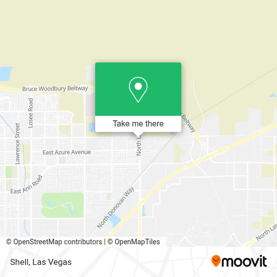
See Shell, North Las Vegas, on the map
Public Transit to Shell in North Las Vegas
Wondering how to get to Shell in North Las Vegas? Moovit helps you find the best way to get to Shell with step-by-step directions from the nearest public transit station.
Moovit provides free maps and live directions to help you navigate through your city. View schedules, routes, timetables, and find out how long does it take to get to Shell in real time.
Looking for the nearest stop or station to Shell? Check out this list of stops closest to your destination: Wb Tropical Before Carrot.
Bus: 220, DVX.
Want to see if there’s another route that gets you there at an earlier time? Moovit helps you find alternative routes or times. Get directions from and directions to Shell easily from the Moovit App or Website.
We make riding to Shell easy, which is why over 1.7 million users, including users in North Las Vegas, trust Moovit as the best app for public transit. You don’t need to download an individual bus app or train app, Moovit is your all-in-one transit app that helps you find the best bus time or train time available.
For information on prices of bus, costs and ride fares to Shell, please check the Moovit app.
Use the app to navigate to popular places including to the airport, hospital, stadium, grocery store, mall, coffee shop, school, college, and university.
Shell Address: 6379 N Lamb Blvd street in North Las Vegas
- N Walnut Rd / E Tropical Way,
- Fanatics Las Vegas,
- Amazon Fulfillment Center-LAS5,
- VA Southern Nevada Healthcare System,
- VA Hospital - Emergency,
- N Belt Rd,
- Amazon Sort Center-LAS5,
- 4410 Nexus Way,
- N Lamb Blvd / Nexus Way,
- 6900 North Pecos Road,
- VA Hospital - Southern Nevada,
- NLV VA Medical Center @ NLV VA Medical Center (S),
- Boxabl,
- 6900 N Pecos Rd,
- N Pecos Rd / E Tropical Pkwy,
- Florence McClure Women's Correctional Center,
- The Court,
- Nevada Pick A Part,
- The Las Vegas Natural History Museum,
- Amazon Fulfillment Center-LAS8
Places Near Shell (North Las Vegas)
- Arte Museum Las Vegas, Paradise,
- Walmart Supercenter, Las Vegas,
- Las Vegas South Premium Outlets, Enterprise,
- Walmart, Las Vegas,
- Trump International Hotel Las Vegas, Paradise,
- The Neon Museum, Las Vegas,
- Koolsville Tattoos, Las Vegas,
- The Palms Casino Resort, Paradise,
- Omega Mart, Las Vegas,
- Gold & Silver Pawn Shop, Las Vegas,
- Town Square, Enterprise,
- Lee Canyon, Las Vegas,
- Allegiant Stadium, Paradise,
- The Deuce Bus Stop at Fremont St, Las Vegas,
- Area15, Las Vegas,
- Meow Wolf - Las Vegas (Meow Wolf's Omega Mart), Las Vegas,
- Welcome To Fabulous Las Vegas Sign, Paradise,
- Las Vegas North Premium Outlets, Las Vegas,
- Las Vegas Premium Outlets-North, Enterprise,
- Zak Bagans Haunted Museum, Las Vegas
How to get to popular places in Las Vegas with public transit
Get around North Las Vegas by public transit!
Traveling around North Las Vegas has never been so easy. See step by step directions as you travel to any attraction, street or major public transit station. View bus and train schedules, arrival times, service alerts and detailed routes on a map, so you know exactly how to get to anywhere in North Las Vegas.
When traveling to any destination around North Las Vegas use Moovit's Live Directions with Get Off Notifications to know exactly where and how far to walk, how long to wait for your line, and how many stops are left. Moovit will alert you when it's time to get off — no need to constantly re-check whether yours is the next stop.
Wondering how to use public transit in North Las Vegas or how to pay for public transit in North Las Vegas? Moovit public transit app can help you navigate your way with public transit easily, and at minimum cost. It includes public transit fees, ticket prices, and costs. Looking for a map of North Las Vegas public transit lines? Moovit public transit app shows all public transit maps in North Las Vegas with all Bus and Monorail routes and stops on an interactive map.
Las Vegas has 2 transit type(s), including: Bus and Monorail, operated by several transit agencies, including RTCSNV, City of Las Vegas, Alvand Transportation, Vegas Airporter, Las Vegas Monorail, FlixBus-us and Greyhound-us