How to get to Shell by bus?
Click on the bus route to see step by step directions with maps, line arrival times and updated time schedules.
From Neville, Chittenden
85 minFrom Buddy's Buddies, Chittenden
60 minFrom Willis Management Vermont, Chittenden
48 minFrom Lang House, Chittenden
47 minFrom Blake Fitness, Chittenden
96 minFrom Conroy Couture Nichols Real Estate, Chittenden
48 minFrom Loveworks Preschool, Chittenden
82 minFrom New England Ballet Conservatory, Chittenden
82 minFrom Green Mountain Driveway Sealing, Chittenden
106 minFrom Odd Fellows, Chittenden
60 min
Bus stop near Shell in Chittenden
- Water Tower Hill/Albany College Of Pharmacy And Health Sciences, 6 min walk,VIEW
Bus lines to Shell in Chittenden
- 96, Downtown Transit Center - A, C, E, G, I,VIEW
What are the closest stations to Shell?
The closest stations to Shell are:
- Water Tower Hill/Albany College Of Pharmacy And Health Sciences is 490 yards away, 6 min walk.
Which bus line stops near Shell?
9 (Downtown Transit Center - B, D, F, H, J→Hickok Street at Elm Street)
What’s the nearest bus station to Shell in Chittenden?
The nearest bus station to Shell in Chittenden is Water Tower Hill/Albany College Of Pharmacy And Health Sciences. It’s a 6 min walk away.
What time is the first bus to Shell in Chittenden?
The 96 is the first bus that goes to Shell in Chittenden. It stops nearby at 5:25 AM.
What time is the last bus to Shell in Chittenden?
The 96 is the last bus that goes to Shell in Chittenden. It stops nearby at 7:45 PM.
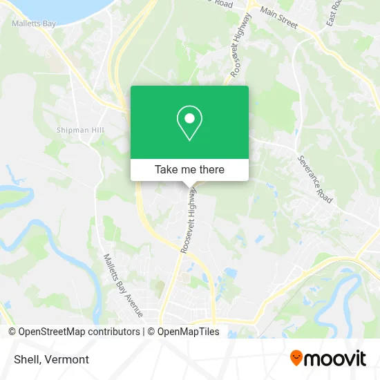
See Shell, Chittenden, on the map
Public Transit to Shell in Chittenden
Wondering how to get to Shell in Chittenden? Moovit helps you find the best way to get to Shell with step-by-step directions from the nearest public transit station.
Moovit provides free maps and live directions to help you navigate through your city. View schedules, routes, timetables, and find out how long does it take to get to Shell in real time.
Looking for the nearest stop or station to Shell? Check out this list of stops closest to your destination: Water Tower Hill/Albany College Of Pharmacy And Health Sciences.
Bus: 9, 96.
Want to see if there’s another route that gets you there at an earlier time? Moovit helps you find alternative routes or times. Get directions from and directions to Shell easily from the Moovit App or Website.
We make riding to Shell easy, which is why over 1.5 million users, including users in Chittenden, trust Moovit as the best app for public transit. You don’t need to download an individual bus app or train app, Moovit is your all-in-one transit app that helps you find the best bus time or train time available.
For information on prices of bus, costs and ride fares to Shell, please check the Moovit app.
Get to Shell with public transit and pay for the ride in the Moovit app. In addition to all info you may need for your trip to Shell, including live directions, real-time arrivals and fare prices, you can also buy public transit passes for your rides. No need for cash or paper tickets to get to Shell - everything you need is accessible in the app with a click of the button.
Use the app to navigate to popular places including to the airport, hospital, stadium, grocery store, mall, coffee shop, school, college, and university.
Shell Address: 973 Roosevelt Hwy street in Chittenden
- Stephen Pitmon DDS,
- RE/MAX,
- 365 Things To do in Colchester Vermont,
- Vems USA,
- Spirit Delivery and Distribution Services,
- Colchester School District,
- Grand Residences by Marriott-Burlington Colchester,
- FLO,
- Vertek,
- Acadia Insurance,
- WFFF,
- WFFF Fox,
- VIP,
- North Country Behavioral Medicine,
- Karl F Lamson CPA,
- Mixingboard,
- FedEx,
- Bombardier Capital,
- Bayada Hospice, Burlington, VT,
- Deon Kenneth
Places Near Shell (Chittenden)
- Hannaford, Rutland,
- Rutland, VT, Rutland,
- Castleton, VT, Rutland,
- Castleton University, Rutland,
- Spring Step,
- WXXX, Chittenden,
- Xxxxxxxxxxxxx, Chittenden,
- Dartmouth-Hitchcock Medical Center, Clinical Systems, Grafton,
- University of Vermont Medical Center - Fanny Allen Campus, Chittenden,
- Derby Line Stanstead Border Crossing,
- Richford Auto,
- Springfield, VT, Windsor,
- Waterbury, VT,
- Champlain Valley Exposition, Chittenden,
- MVU,
- GLOBALFOUNDRIES, Chittenden,
- Missisquoi River Basin Association,
- Barre, VT,
- Ecco,
- Sugarbush Resort
How to get to popular places in Vermont with public transit
Get around Chittenden by public transit!
Traveling around Chittenden has never been so easy. See step by step directions as you travel to any attraction, street or major public transit station. View bus and train schedules, arrival times, service alerts and detailed routes on a map, so you know exactly how to get to anywhere in Chittenden.
When traveling to any destination around Chittenden use Moovit's Live Directions with Get Off Notifications to know exactly where and how far to walk, how long to wait for your line, and how many stops are left. Moovit will alert you when it's time to get off — no need to constantly re-check whether yours is the next stop.
Wondering how to use public transit in Chittenden or how to pay for public transit in Chittenden? Moovit public transit app can help you navigate your way with public transit easily, and at minimum cost. It includes public transit fees, ticket prices, and costs. Looking for a map of Chittenden public transit lines? Moovit public transit app shows all public transit maps in Chittenden with all Bus, Train and Ferry routes and stops on an interactive map.
Vermont has 3 transit type(s), including: Bus, Train and Ferry, operated by several transit agencies, including Green Mountain Transit, Wilmington MOOver, Advance Transit, Vermont Translines, Rockingham MOOver, The Bus (Marble Valley Regional Transit District), Green Mountain Express, Rural Community Transportation, Addison County Transit Resources, Stagecoach Transportation Services, Amtrak, Greyhound-us, Dartmouth Campus Connector and Lake Champlain Ferries