How to get to Shell Gas by bus?
Click on the bus route to see step by step directions with maps, line arrival times and updated time schedules.
From Salvation Army Thrift Store - McQueen, Edmonton
72 minFrom Robbins Pavilion, Edmonton
50 minFrom Mcnally High School, Edmonton
60 minFrom T5T, Edmonton
60 minFrom Concordia University College, Edmonton
69 minFrom The Home Depot, Edmonton
54 minFrom Hawrelak Park, Edmonton
53 minFrom Manchester Square, Edmonton
60 minFrom Citadel Theatre, Edmonton
45 minFrom Hope City Church - Kingsway Campus, Edmonton
48 min
Bus stops near Shell Gas in Edmonton
Light Rail stations near Shell Gas in Edmonton
- Century Park Station, 24 min walk,VIEW
Bus lines to Shell Gas in Edmonton
What are the closest stations to Shell Gas?
The closest stations to Shell Gas are:
- 106 Street & 42 Avenue is 22 meters away, 1 min walk.
- 105 Street & 42 Avenue is 238 meters away, 4 min walk.
- 106 Street & Whitemud Drive is 291 meters away, 4 min walk.
- 106 Street & 40 Avenue is 507 meters away, 7 min walk.
- Century Park Station is 1818 meters away, 24 min walk.
Which bus lines stop near Shell Gas?
These bus lines stop near Shell Gas: 006, 055, 704, 705.
What’s the nearest light rail station to Shell Gas in Edmonton?
The nearest light rail station to Shell Gas in Edmonton is Century Park Station. It’s a 24 min walk away.
What’s the nearest bus station to Shell Gas in Edmonton?
The nearest bus station to Shell Gas in Edmonton is 106 Street & 42 Avenue. It’s a 1 min walk away.
What time is the first light rail to Shell Gas in Edmonton?
The METRO is the first light rail that goes to Shell Gas in Edmonton. It stops nearby at 5:40 AM.
What time is the last light rail to Shell Gas in Edmonton?
The METRO is the last light rail that goes to Shell Gas in Edmonton. It stops nearby at 12:19 AM.
What time is the first bus to Shell Gas in Edmonton?
The 709 is the first bus that goes to Shell Gas in Edmonton. It stops nearby at 6:00 AM.
What time is the last bus to Shell Gas in Edmonton?
The 055 is the last bus that goes to Shell Gas in Edmonton. It stops nearby at 12:25 AM.
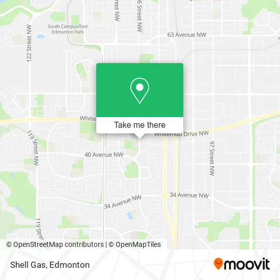
See Shell Gas, Edmonton, on the map
Public Transit to Shell Gas in Edmonton
Wondering how to get to Shell Gas in Edmonton? Moovit helps you find the best way to get to Shell Gas with step-by-step directions from the nearest public transit station.
Moovit provides free maps and live directions to help you navigate through your city. View schedules, routes, timetables, and find out how long does it take to get to Shell Gas in real time.
Looking for the nearest stop or station to Shell Gas? Check out this list of stops closest to your destination: 106 Street & 42 Avenue; 105 Street & 42 Avenue; 106 Street & Whitemud Drive; 106 Street & 40 Avenue; Century Park Station.
Bus: 006, 055, 704, 705, 507, 652, 701, 660, 709.
Want to see if there’s another route that gets you there at an earlier time? Moovit helps you find alternative routes or times. Get directions from and directions to Shell Gas easily from the Moovit App or Website.
We make riding to Shell Gas easy, which is why over 1.5 million users, including users in Edmonton, trust Moovit as the best app for public transit. You don’t need to download an individual bus app or train app, Moovit is your all-in-one transit app that helps you find the best bus time or train time available.
For information on prices of bus and light rail, costs and ride fares to Shell Gas, please check the Moovit app.
Use the app to navigate to popular places including to the airport, hospital, stadium, grocery store, mall, coffee shop, school, college, and university.
Shell Gas Address: 4211 106 St NW Edmonton, AB T6J 6P3 street in Edmonton
- Wind Mobile Whitemud Crossing,
- Varsity,
- Sonic Travel Corp,
- Farajaah Cleaners,
- Edward Jones Investments,
- Tash Chiropractic Clinic,
- Sublime Body,
- Hi 5 Daycare & Osc,
- U-Haul,
- Rideau Park School,
- Aly Barakat,
- Whitemud Crossings EPL Branch,
- Whitemud Crossing EPL Public Library,
- Auto Detail Geeks,
- Hero Hearts,
- The Good Samaritan Society,
- Solo Mobile,
- Alberta Dispute Resolution Svc,
- Montessori Early Learning Childcare,
- Mike Siaflekis
Places Near Shell Gas (Edmonton)
- Northgate Centre, Edmonton,
- Edmonton VIA Rail Station, Edmonton,
- Borden Park, Edmonton,
- Kingsway Mall, Edmonton,
- MacEwan University, Edmonton,
- Grey Nuns Community Hospital, Edmonton,
- Royal Alexandra Hospital, Edmonton,
- Alberta Legislature Building, Edmonton,
- Kaye Edmonton Clinic, Edmonton,
- Cross Cancer Institute, Edmonton,
- Edmonton Valley Zoo, Edmonton,
- Rogers Place, Edmonton,
- Londonderry Mall, Edmonton,
- University of Alberta, Edmonton,
- West Edmonton Mall, Edmonton,
- Edmonton Commonwealth Stadium, Edmonton,
- Edmonton EXPO Centre, Edmonton,
- Canada Place Service Canada Centre, Edmonton,
- Fort Edmonton Park, Edmonton,
- Whyte Avenue, Edmonton
How to get to popular places in Edmonton with public transit
Get around Edmonton by public transit!
Traveling around Edmonton has never been so easy. See step by step directions as you travel to any attraction, street or major public transit station. View bus and train schedules, arrival times, service alerts and detailed routes on a map, so you know exactly how to get to anywhere in Edmonton.
When traveling to any destination around Edmonton use Moovit's Live Directions with Get Off Notifications to know exactly where and how far to walk, how long to wait for your line, and how many stops are left. Moovit will alert you when it's time to get off — no need to constantly re-check whether yours is the next stop.
Wondering how to use public transit in Edmonton or how to pay for public transit in Edmonton? Moovit public transit app can help you navigate your way with public transit easily, and at minimum cost. It includes public transit fees, ticket prices, and costs. Looking for a map of Edmonton public transit lines? Moovit public transit app shows all public transit maps in Edmonton with all Bus and Light Rail routes and stops on an interactive map.
Edmonton has 2 transit type(s), including: Bus and Light Rail, operated by several transit agencies, including ETS LRT, ETS, Strathcona County Transit, St. Albert Transit, Spruce Grove Transit, Fort Saskatchewan Transit, Beaumont Transit and Leduc Transit