How to get to Shell Recharge by bus?
Click on the bus route to see step by step directions with maps, line arrival times and updated time schedules.
Bus stops near Shell Recharge in Eatontown
Train station near Shell Recharge in Eatontown
- Monmouth Park, 51 min walk,VIEW
Bus lines to Shell Recharge in Eatontown
What are the closest stations to Shell Recharge?
The closest stations to Shell Recharge are:
- Rt-35 at Wyckoff Rd is 70 yards away, 1 min walk.
- Eatontown - Rt-35 @ Wyckoff Rd (Northbound) is 122 yards away, 2 min walk.
- Monmouth Park is 4306 yards away, 51 min walk.
Which bus lines stop near Shell Recharge?
These bus lines stop near Shell Recharge: 831, 832.
What’s the nearest bus station to Shell Recharge in Eatontown?
The nearest bus station to Shell Recharge in Eatontown is Rt-35 at Wyckoff Rd. It’s a 1 min walk away.
What time is the first train to Shell Recharge in Eatontown?
The NJCL is the first train that goes to Shell Recharge in Eatontown. It stops nearby at 4:02 AM.
What time is the last train to Shell Recharge in Eatontown?
The NJCL is the last train that goes to Shell Recharge in Eatontown. It stops nearby at 2:27 AM.
What time is the first bus to Shell Recharge in Eatontown?
The 200 is the first bus that goes to Shell Recharge in Eatontown. It stops nearby at 5:42 AM.
What time is the last bus to Shell Recharge in Eatontown?
The 832 is the last bus that goes to Shell Recharge in Eatontown. It stops nearby at 10:29 PM.
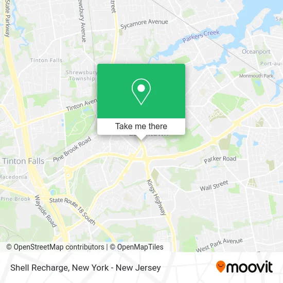
See Shell Recharge, Eatontown, on the map
Public Transit to Shell Recharge in Eatontown
Wondering how to get to Shell Recharge in Eatontown? Moovit helps you find the best way to get to Shell Recharge with step-by-step directions from the nearest public transit station.
Moovit provides free maps and live directions to help you navigate through your city. View schedules, routes, timetables, and find out how long does it take to get to Shell Recharge in real time.
Looking for the nearest stop or station to Shell Recharge? Check out this list of stops closest to your destination: Rt-35 at Wyckoff Rd; Eatontown - Rt-35 @ Wyckoff Rd (Northbound); Monmouth Park.
Bus: 831, 832, 200.Train: NJCL.
Want to see if there’s another route that gets you there at an earlier time? Moovit helps you find alternative routes or times. Get directions from and directions to Shell Recharge easily from the Moovit App or Website.
We make riding to Shell Recharge easy, which is why over 1.5 million users, including users in Eatontown, trust Moovit as the best app for public transit. You don’t need to download an individual bus app or train app, Moovit is your all-in-one transit app that helps you find the best bus time or train time available.
For information on prices of bus, subway and train, costs and ride fares to Shell Recharge, please check the Moovit app.
Use the app to navigate to popular places including to the airport, hospital, stadium, grocery store, mall, coffee shop, school, college, and university.
Shell Recharge Address: Eatontown, NJ 07724 street in Eatontown
- Costa Orthopedics,
- Hollister,
- Abercrombie & Fitch,
- Ruffino's Pizza & Italian Restaurant,
- Pandora Jewelry,
- NJ Knee Pain Center,
- Advancedlife Group,
- NJ Neuropathy,
- Ferraris Dental Care,
- First Watch,
- Amc,
- Amc Monmouth Mall 15,
- Carbon Health Urgent Care,
- Central Jersey Urgent Care Of Eatontown,
- Neuropathy Relief Project,
- Optum Podiatry - Eatontown,
- United Healthcare Services,
- Crystal Inn,
- LIDL,
- Bath & Body Works
Places Near Shell Recharge (Eatontown)
- 3 Stone St, Manhattan,
- Chinatown, Manhattan,
- Bellevue Hospital, Manhattan,
- San Gennaro Feast, Manhattan,
- Pier 83, Manhattan,
- Rockefeller Center, Manhattan,
- 26 Federal Plaza, Manhattan,
- Wall Street, Manhattan,
- 111 Centre New York City Supreme Court, Manhattan,
- Mountainside Hospital, Glen Ridge,
- 376 Hudson Street, Manhattan,
- qqqq, Manhattan,
- SoHo, Manhattan,
- Queens Center Mall, Queens,
- Times Square, Manhattan,
- Katz's Deli, Manhattan,
- 66 John Street, Manhattan,
- 911 Memorial, Manhattan,
- 1 Police Plaza, Manhattan,
- Hudson Yards, Manhattan
How to get to popular places in New York - New Jersey with public transit
Get around Eatontown by public transit!
Traveling around Eatontown has never been so easy. See step by step directions as you travel to any attraction, street or major public transit station. View bus and train schedules, arrival times, service alerts and detailed routes on a map, so you know exactly how to get to anywhere in Eatontown.
When traveling to any destination around Eatontown use Moovit's Live Directions with Get Off Notifications to know exactly where and how far to walk, how long to wait for your line, and how many stops are left. Moovit will alert you when it's time to get off — no need to constantly re-check whether yours is the next stop.
Wondering how to use public transit in Eatontown or how to pay for public transit in Eatontown? Moovit public transit app can help you navigate your way with public transit easily, and at minimum cost. It includes public transit fees, ticket prices, and costs. Looking for a map of Eatontown public transit lines? Moovit public transit app shows all public transit maps in Eatontown with all Bus, Train, Subway, Light Rail, Ferry and Cable Car routes and stops on an interactive map.
New York - New Jersey has 6 transit type(s), including: Bus, Train, Subway, Light Rail, Ferry and Cable Car, operated by several transit agencies, including MTA Subway, Metro-North Railroad, LIRR, PATH, MTA New York City Transit - Express routes, MTA Bus, NJ Transit, NYC Ferry, NICE bus, Bee-Line Bus, NJ Transit Rail, Norwalk Transit District, Hartford Line, River Valley Transit and HART