Directions to Shell Recharge (Kent) with public transportation
The following transit lines have routes that pass near Shell Recharge
 Bus: 160.
How to get to Shell Recharge by bus?
Click on the bus route to see step by step directions with maps, line arrival times and updated time schedules.
From Sleep Inn, Seatac
62 minFrom BECU Tukwila Financial Center, Tukwila
70 minFrom Adult Airport Video II (Airport Video 2), Des Moines
62 minFrom Icelandair Ticket Counter, Seatac
43 minFrom Tukwila Community Center, Tukwila
60 minFrom Highline Seatac Botanical Garden, Seatac
72 minFrom Hilton Garden Inn Seattle Airport, Seatac
54 minFrom Emerald Downs, Auburn
58 minFrom COURTYARD by Marriott, Seatac
57 minFrom USCIS - Washington - Seattle Field Office, Tukwila
75 min
Bus stop near Shell Recharge in Kent
- 108th Ave SE & SE 208th St, 2 min walk,VIEW
Bus lines to Shell Recharge in Kent
- 160, Renton Kent,VIEW
What are the closest stations to Shell Recharge?
The closest stations to Shell Recharge are:
- 108th Ave SE & SE 208th St is 162 yards away, 2 min walk.
Which bus line stops near Shell Recharge?
160 (Auburn Station Kent)
What’s the nearest bus station to Shell Recharge in Kent?
The nearest bus station to Shell Recharge in Kent is 108th Ave SE & SE 208th St. It’s a 2 min walk away.
What time is the first bus to Shell Recharge in Kent?
The 160 is the first bus that goes to Shell Recharge in Kent. It stops nearby at 4:46 AM.
What time is the last bus to Shell Recharge in Kent?
The 160 is the last bus that goes to Shell Recharge in Kent. It stops nearby at 12:22 AM.
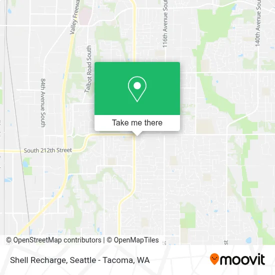
See Shell Recharge, Kent, on the map
Public Transit to Shell Recharge in Kent
Wondering how to get to Shell Recharge in Kent? Moovit helps you find the best way to get to Shell Recharge with step-by-step directions from the nearest public transit station.
Moovit provides free maps and live directions to help you navigate through your city. View schedules, routes, timetables, and find out how long does it take to get to Shell Recharge in real time.
Looking for the nearest stop or station to Shell Recharge? Check out this list of stops closest to your destination: 108th Ave SE & SE 208th St.
Bus: 160.
Want to see if there’s another route that gets you there at an earlier time? Moovit helps you find alternative routes or times. Get directions from and directions to Shell Recharge easily from the Moovit App or Website.
We make riding to Shell Recharge easy, which is why over 1.5 million users, including users in Kent, trust Moovit as the best app for public transit. You don’t need to download an individual bus app or train app, Moovit is your all-in-one transit app that helps you find the best bus time or train time available.
For information on prices of bus, costs and ride fares to Shell Recharge, please check the Moovit app.
Use the app to navigate to popular places including to the airport, hospital, stadium, grocery store, mall, coffee shop, school, college, and university.
Shell Recharge Address: 20830 108th Ave SE Kent, WA 98031 street in Kent
- Safeway,
- Coinstar - Bitcoin ATM,
- Dennis B Dyson DDS,
- Avance Dental Clinic,
- Miracle Janitorial Service,
- The Morgan,
- Subway,
- Shirley Handley, Realtor,
- Hi Pho Restaurant (Pho T-Q Vietnamese Restaurant),
- Fire Starter Bar & Grill,
- 212th automotive,
- Janitorial Plus,
- E Value 8,
- Bell Contracting LLC,
- John W Shervey & Assoc Inc,
- Djung Homemade Noodles And Thai Cuisine,
- Sabrina's International Cuisine,
- Sound Nutrition,
- Mail Boxes Etc,
- SH-515
Places Near Shell Recharge (Kent)
- Seattle Art Museum, Seattle,
- Lumen Field, Seattle,
- Space Needle, Seattle,
- Woodland Park Zoo, Seattle,
- Amazon.com SEA33 - Blackfoot, Seattle,
- Space Needle, Seattle,
- Pier 91 Cruise Ship Terminal, Seattle,
- Seattle Aquarium, Seattle,
- Seattle Ferry Terminal, Seattle,
- Pike Place Market, Seattle,
- Paramount Theatre, Seattle,
- Pier 66, Seattle,
- Hyatt Regency-Seattle , Seattle,
- Cal Anderson Park, Seattle,
- Microsoft Connector Bus, Redmond,
- Harborview Medical Center, Seattle,
- Amazon - Blackfoot (SEA33), Seattle,
- Bellevue Square Mall, Bellevue,
- Southcenter Mall, Tukwila,
- T-Mobile Park, Seattle
How to get to popular places in Seattle - Tacoma, WA with public transit
Get around Kent by public transit!
Traveling around Kent has never been so easy. See step by step directions as you travel to any attraction, street or major public transit station. View bus and train schedules, arrival times, service alerts and detailed routes on a map, so you know exactly how to get to anywhere in Kent.
When traveling to any destination around Kent use Moovit's Live Directions with Get Off Notifications to know exactly where and how far to walk, how long to wait for your line, and how many stops are left. Moovit will alert you when it's time to get off — no need to constantly re-check whether yours is the next stop.
Wondering how to use public transit in Kent or how to pay for public transit in Kent? Moovit public transit app can help you navigate your way with public transit easily, and at minimum cost. It includes public transit fees, ticket prices, and costs. Looking for a map of Kent public transit lines? Moovit public transit app shows all public transit maps in Kent with all Bus, Train, Light Rail and Ferry routes and stops on an interactive map.
Seattle - Tacoma, WA has 4 transit type(s), including: Bus, Train, Light Rail and Ferry, operated by several transit agencies, including Sound Transit, Seattle Streetcar, Metro Transit, Whatcom Transportation Authority, Mason Transit Authority, Snoqualmie Valley Transportation (SVT), Snoqualmie Valley Transportation, Amtrak, Island Transit, Kitsap Transit, Intercity Transit, Everett Transit, Community Transit, Skagit Transit and Pierce Transit