How to get to Shell Recharge by bus?
Click on the bus route to see step by step directions with maps, line arrival times and updated time schedules.
From 5454 Wisconsin, Montgomery County
49 minFrom Silver Spring, Maryland, Montgomery County
39 minFrom Avalon Theatre, Washington
66 minFrom National Institutes of Health (NIH), Montgomery County
21 minFrom Intercounty Connector (ICC)/MD 200, Montgomery County
56 minFrom Regal Majestic Stadium 20 and IMAX, Montgomery County
41 minFrom RIO Washingtonian Center, Montgomery County
49 minFrom Intelligence Community Campus—Bethesda, Montgomery County
53 minFrom Clyde's of Chevy Chase, Montgomery County
49 minFrom Brookside Gardens, Montgomery County
38 min
How to get to Shell Recharge by train?
Click on the train route to see step by step directions with maps, line arrival times and updated time schedules.
How to get to Shell Recharge by metro?
Click on the metro route to see step by step directions with maps, line arrival times and updated time schedules.
From 5454 Wisconsin, Montgomery County
24 minFrom Silver Spring, Maryland, Montgomery County
57 minFrom Avalon Theatre, Washington
34 minFrom National Institutes of Health (NIH), Montgomery County
19 minFrom Regal Majestic Stadium 20 and IMAX, Montgomery County
59 minFrom Clyde's of Chevy Chase, Montgomery County
21 minFrom Brookside Gardens, Montgomery County
85 min
Bus stops near Shell Recharge in Montgomery County
Train station near Shell Recharge in Montgomery County
- Garrett Park Marc Eb, 42 min walk,VIEW
Bus lines to Shell Recharge in Montgomery County
What are the closest stations to Shell Recharge?
The closest stations to Shell Recharge are:
- Rockville Pike & Rose Ave is 225 yards away, 4 min walk.
- Executive Blvd & Old Georgetown Rd is 396 yards away, 6 min walk.
- North Bethesda Station & Bay B is 475 yards away, 6 min walk.
- North Bethesda is 495 yards away, 7 min walk.
- Rockville Pk+Marinelli Rd is 518 yards away, 7 min walk.
- Garrett Park Marc Eb is 3563 yards away, 42 min walk.
Which bus lines stop near Shell Recharge?
These bus lines stop near Shell Recharge: 101, 26, 42, 46, 5, M42.
Which train line stops near Shell Recharge?
MARC (Inbound - Brunswick)
Which metro line stops near Shell Recharge?
RED (Shady Grove)
What’s the nearest bus station to Shell Recharge in Montgomery County?
The nearest bus station to Shell Recharge in Montgomery County is Rockville Pike & Rose Ave. It’s a 4 min walk away.
What time is the first metro to Shell Recharge in Montgomery County?
The RED is the first metro that goes to Shell Recharge in Montgomery County. It stops nearby at 5:04 AM.
What time is the last metro to Shell Recharge in Montgomery County?
The RED is the last metro that goes to Shell Recharge in Montgomery County. It stops nearby at 12:38 AM.
What time is the first train to Shell Recharge in Montgomery County?
The MARC is the first train that goes to Shell Recharge in Montgomery County. It stops nearby at 5:39 AM.
What time is the last train to Shell Recharge in Montgomery County?
The MARC is the last train that goes to Shell Recharge in Montgomery County. It stops nearby at 7:45 PM.
What time is the first bus to Shell Recharge in Montgomery County?
The 26 is the first bus that goes to Shell Recharge in Montgomery County. It stops nearby at 4:35 AM.
What time is the last bus to Shell Recharge in Montgomery County?
The 5 is the last bus that goes to Shell Recharge in Montgomery County. It stops nearby at 1:44 AM.
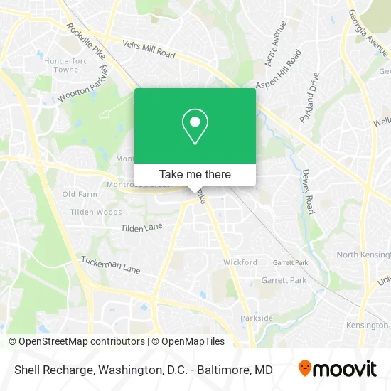
See Shell Recharge, Montgomery County, on the map
Public Transit to Shell Recharge in Montgomery County
Wondering how to get to Shell Recharge in Montgomery County? Moovit helps you find the best way to get to Shell Recharge with step-by-step directions from the nearest public transit station.
Moovit provides free maps and live directions to help you navigate through your city. View schedules, routes, timetables, and find out how long does it take to get to Shell Recharge in real time.
Looking for the nearest stop or station to Shell Recharge? Check out this list of stops closest to your destination: Rockville Pike & Rose Ave; Executive Blvd & Old Georgetown Rd; North Bethesda Station & Bay B; North Bethesda; Rockville Pk+Marinelli Rd; Garrett Park Marc Eb.
Bus: 101, 26, 42, 46, 5, M42, 81, M44, RED.Train: MARC.Metro: RED.
Want to see if there’s another route that gets you there at an earlier time? Moovit helps you find alternative routes or times. Get directions from and directions to Shell Recharge easily from the Moovit App or Website.
We make riding to Shell Recharge easy, which is why over 1.5 million users, including users in Montgomery County, trust Moovit as the best app for public transit. You don’t need to download an individual bus app or train app, Moovit is your all-in-one transit app that helps you find the best bus time or train time available.
For information on prices of bus, metro and train, costs and ride fares to Shell Recharge, please check the Moovit app.
Use the app to navigate to popular places including to the airport, hospital, stadium, grocery store, mall, coffee shop, school, college, and university.
Shell Recharge Address: 11580 Old Georgetown Rd Rockville, MD 20852 street in Montgomery County
- Wow Bao,
- Canopy Central Cafe and Bar,
- Caruso's Grocery Pike and Rose,
- Uniqlo,
- EvGateway,
- Laseraway,
- Canopy-Washington DC Bethesda North,
- Rose in North Bethesda MD,
- The Residences at Pike & Rose,
- First American General Contracting,
- Warehouse Entertainment,
- Charlotte Tilbury,
- Sahira Jewelry Viola CZ Huggie,
- Robert Half Recruiters & Employment Agency,
- Canopy By Hilton Washington DC Bethesda North North Bethesda,
- Fogo De Chão,
- Nada's,
- iPic Theater,
- Fogo de Chão Brazilian Steakhouse,
- iPic Pike & Rose
Places Near Shell Recharge (Montgomery County)
- Westfield Montgomery Mall, Montgomery County,
- M&T Bank Stadium, Baltimore,
- Pennsylvania Ave NW (3rd st and pennsylvania), Washington,
- Basilica of the National Shrine, Washington,
- Camden Yards, Baltimore,
- Rock Creek Tennis Center, Washington,
- Marriott Marquis Washington, DC, Washington,
- Warner Theatre, Washington,
- The Anthem, Washington,
- Georgetown, Washington,
- Washington DC VA Medical Center, Washington,
- Museum Of The Bible, Washington,
- Sibley Memorial Hospital, Washington,
- National Theatre, Washington,
- Washington National Cathedral, Washington,
- Capital One Arena, Washington,
- National Zoo, Washington,
- Amazon Hq2, Arlington County,
- PG Mall, Prince George's County,
- National Museum of African American History and Culture, Washington
How to get to popular places in Washington, D.C. - Baltimore, MD with public transit
Get around Montgomery County by public transit!
Traveling around Montgomery County has never been so easy. See step by step directions as you travel to any attraction, street or major public transit station. View bus and train schedules, arrival times, service alerts and detailed routes on a map, so you know exactly how to get to anywhere in Montgomery County.
When traveling to any destination around Montgomery County use Moovit's Live Directions with Get Off Notifications to know exactly where and how far to walk, how long to wait for your line, and how many stops are left. Moovit will alert you when it's time to get off — no need to constantly re-check whether yours is the next stop.
Wondering how to use public transit in Montgomery County or how to pay for public transit in Montgomery County? Moovit public transit app can help you navigate your way with public transit easily, and at minimum cost. It includes public transit fees, ticket prices, and costs. Looking for a map of Montgomery County public transit lines? Moovit public transit app shows all public transit maps in Montgomery County with all Bus, Train, Metro, Light Rail and Ferry routes and stops on an interactive map.
Washington, D.C. - Baltimore, MD has 5 transit type(s), including: Bus, Train, Metro, Light Rail and Ferry, operated by several transit agencies, including WMATA, Montgomery County Ride On, Fairfax Connector, TheBus, PRTC, DASH - Alexandria, Arlington Transit (ART), RTA of Central Maryland, MDOT MTA, MDOT MTA Light RailLink, MDOT MTA Commuter Bus, MDOT MTA Local Bus, FXBGO!, Virginia Railway Express (VRE) and MARC