How to get to Shell Recharge by bus?
Click on the bus route to see step by step directions with maps, line arrival times and updated time schedules.
From Crumbs & Whiskers, Washington
63 minFrom The Catholic University of America (CUA), Washington
80 minFrom China Chilcano, Washington
41 minFrom The Anthem, Washington
49 minFrom Warner Theatre, Washington
42 minFrom Old Post Office Tower, Washington
42 minFrom MedStar Washington Hospital Center, Washington
78 minFrom Embassy Of Poland, Washington
81 minFrom Shenanigan's Irish Pub, Washington
73 minFrom T.J. Maxx, Washington
42 min
How to get to Shell Recharge by metro?
Click on the metro route to see step by step directions with maps, line arrival times and updated time schedules.
From Crumbs & Whiskers, Washington
62 minFrom The Catholic University of America (CUA), Washington
47 minFrom China Chilcano, Washington
29 minFrom The Anthem, Washington
38 minFrom Warner Theatre, Washington
37 minFrom Old Post Office Tower, Washington
35 minFrom MedStar Washington Hospital Center, Washington
50 minFrom Embassy Of Poland, Washington
44 minFrom Shenanigan's Irish Pub, Washington
50 minFrom T.J. Maxx, Washington
36 min
Bus stops near Shell Recharge in Washington
Metro station near Shell Recharge in Washington
- Anacostia Metro Station, 36 min walk,VIEW
Bus lines to Shell Recharge in Washington
What are the closest stations to Shell Recharge?
The closest stations to Shell Recharge are:
- Savannah St Se+Stanton Rd SE is 177 yards away, 3 min walk.
- Alabama Av Se+15 Pl SE is 215 yards away, 3 min walk.
- Mississippi Av Se+Stanton Rd SE is 495 yards away, 7 min walk.
- Anacostia Metro Station is 3021 yards away, 36 min walk.
Which bus lines stop near Shell Recharge?
These bus lines stop near Shell Recharge: C21, C26, C53.
Which metro line stops near Shell Recharge?
GREEN (Branch Av)
What’s the nearest bus station to Shell Recharge in Washington?
The nearest bus stations to Shell Recharge in Washington are Savannah St Se+Stanton Rd SE and Alabama Av Se+15 Pl SE. The closest one is a 3 min walk away.
What time is the first metro to Shell Recharge in Washington?
The GREEN is the first metro that goes to Shell Recharge in Washington. It stops nearby at 5:06 AM.
What time is the last metro to Shell Recharge in Washington?
The GREEN is the last metro that goes to Shell Recharge in Washington. It stops nearby at 12:28 AM.
What time is the first bus to Shell Recharge in Washington?
The C21 is the first bus that goes to Shell Recharge in Washington. It stops nearby at 3:00 AM.
What time is the last bus to Shell Recharge in Washington?
The C53 is the last bus that goes to Shell Recharge in Washington. It stops nearby at 3:40 AM.
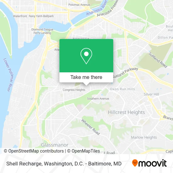
See Shell Recharge, Washington, on the map
Public Transit to Shell Recharge in Washington
Wondering how to get to Shell Recharge in Washington? Moovit helps you find the best way to get to Shell Recharge with step-by-step directions from the nearest public transit station.
Moovit provides free maps and live directions to help you navigate through your city. View schedules, routes, timetables, and find out how long does it take to get to Shell Recharge in real time.
Looking for the nearest stop or station to Shell Recharge? Check out this list of stops closest to your destination: Savannah St Se+Stanton Rd SE; Alabama Av Se+15 Pl SE; Mississippi Av Se+Stanton Rd SE; Anacostia Metro Station.
Bus: C21, C26, C53, C25, C29, C27.Metro: GREEN.
Want to see if there’s another route that gets you there at an earlier time? Moovit helps you find alternative routes or times. Get directions from and directions to Shell Recharge easily from the Moovit App or Website.
We make riding to Shell Recharge easy, which is why over 1.5 million users, including users in Washington, trust Moovit as the best app for public transit. You don’t need to download an individual bus app or train app, Moovit is your all-in-one transit app that helps you find the best bus time or train time available.
For information on prices of bus and metro, costs and ride fares to Shell Recharge, please check the Moovit app.
Use the app to navigate to popular places including to the airport, hospital, stadium, grocery store, mall, coffee shop, school, college, and university.
Shell Recharge Address: 1535 Alabama Ave SE Washington, DC 20032 street in Washington
- Shell,
- Coinstar,
- Organic Carpet Cleaning,
- Keyme Locksmiths,
- Giant Food,
- 1610 Savannah St SE Parking,
- Washington Air Locksmith Inc,
- Lockridge Baseball Field,
- Plenary Enterprises LLC,
- Alabama Ave And Stanton Rd SE / Shops at Park Village,
- Pepco - Alabama Ave Substation,
- Washington Professional Locksmiths,
- Like That 2 (Like That II Barber Shop),
- Beehive Removal,
- IHOP,
- Suitland Parkway,
- Alabama Ave SE and 15th St SE,
- Washington All Hours Lock & Key,
- Credit Union 1,
- Housing & Urban Management
Places Near Shell Recharge (Washington)
- National Mall, Washington,
- Georgetown, Washington,
- Museum Of The Bible, Washington,
- Basilica of the National Shrine, Washington,
- Washington National Cathedral, Washington,
- Westfield Montgomery Mall, Montgomery County,
- M&T Bank Stadium, Baltimore,
- Rock Creek Tennis Center, Washington,
- National Museum of African American History and Culture, Washington,
- Camden Yards, Baltimore,
- National Zoo, Washington,
- Pennsylvania Ave NW (3rd st and pennsylvania), Washington,
- The Anthem, Washington,
- Amazon Hq2, Arlington County,
- Marriott Marquis Washington, DC, Washington,
- Washington DC VA Medical Center, Washington,
- Warner Theatre, Washington,
- Sibley Memorial Hospital, Washington,
- PG Mall, Prince George's County,
- Capital One Arena, Washington
How to get to popular places in Washington, D.C. - Baltimore, MD with public transit
Get around Washington by public transit!
Traveling around Washington has never been so easy. See step by step directions as you travel to any attraction, street or major public transit station. View bus and train schedules, arrival times, service alerts and detailed routes on a map, so you know exactly how to get to anywhere in Washington.
When traveling to any destination around Washington use Moovit's Live Directions with Get Off Notifications to know exactly where and how far to walk, how long to wait for your line, and how many stops are left. Moovit will alert you when it's time to get off — no need to constantly re-check whether yours is the next stop.
Wondering how to use public transit in Washington or how to pay for public transit in Washington? Moovit public transit app can help you navigate your way with public transit easily, and at minimum cost. It includes public transit fees, ticket prices, and costs. Looking for a map of Washington public transit lines? Moovit public transit app shows all public transit maps in Washington with all Bus, Train, Metro, Light Rail and Ferry routes and stops on an interactive map.
Washington, D.C. - Baltimore, MD has 5 transit type(s), including: Bus, Train, Metro, Light Rail and Ferry, operated by several transit agencies, including WMATA, Montgomery County Ride On, Fairfax Connector, TheBus, PRTC, DASH - Alexandria, Arlington Transit (ART), RTA of Central Maryland, MDOT MTA, MDOT MTA Light RailLink, MDOT MTA Commuter Bus, MDOT MTA Local Bus, FXBGO!, Virginia Railway Express (VRE) and MARC