How to get to Shill Med by bus?
Click on the bus route to see step by step directions with maps, line arrival times and updated time schedules.
From Providence Health, Spokane
53 minFrom Shred Nations, Liberty Lake
30 minFrom Spur Industries, Spokane Valley
44 minFrom Newtech Skill Center, Spokane
57 minFrom North Inland Towing, Spokane
57 minFrom Purina Animal Nutrition (Land O'Lakes Purina Feed Spokane Feed Mill), Spokane
32 minFrom STARBUCKS, Spokane
55 minFrom Share-A-Ride, Spokane
60 minFrom Cheers Automotive, Spokane
33 minFrom Tanvas Transcription, Spokane
45 min
Bus stops near Shill Med in Spokane Valley
Bus lines to Shill Med in Spokane Valley
What are the closest stations to Shill Med?
The closest stations to Shill Med are:
- Mission @ Pines is 105 yards away, 2 min walk.
- Indiana @ Pines is 748 yards away, 10 min walk.
- Mansfield @ Cherry is 972 yards away, 12 min walk.
Which bus lines stop near Shill Med?
These bus lines stop near Shill Med: 32, 7, 95.
What’s the nearest bus station to Shill Med in Spokane Valley?
The nearest bus station to Shill Med in Spokane Valley is Mission @ Pines. It’s a 2 min walk away.
What time is the first bus to Shill Med in Spokane Valley?
The 7 is the first bus that goes to Shill Med in Spokane Valley. It stops nearby at 4:59 AM.
What time is the last bus to Shill Med in Spokane Valley?
The 32 is the last bus that goes to Shill Med in Spokane Valley. It stops nearby at 11:44 PM.
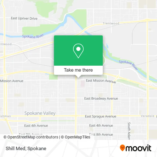
See Shill Med, Spokane Valley, on the map
Public Transit to Shill Med in Spokane Valley
Wondering how to get to Shill Med in Spokane Valley? Moovit helps you find the best way to get to Shill Med with step-by-step directions from the nearest public transit station.
Moovit provides free maps and live directions to help you navigate through your city. View schedules, routes, timetables, and find out how long does it take to get to Shill Med in real time.
Looking for the nearest stop or station to Shill Med? Check out this list of stops closest to your destination: Mission @ Pines; Indiana @ Pines; Mansfield @ Cherry.
Bus: 32, 7, 95, 96, 771.
Want to see if there’s another route that gets you there at an earlier time? Moovit helps you find alternative routes or times. Get directions from and directions to Shill Med easily from the Moovit App or Website.
We make riding to Shill Med easy, which is why over 1.5 million users, including users in Spokane Valley, trust Moovit as the best app for public transit. You don’t need to download an individual bus app or train app, Moovit is your all-in-one transit app that helps you find the best bus time or train time available.
For information on prices of bus, costs and ride fares to Shill Med, please check the Moovit app.
Use the app to navigate to popular places including to the airport, hospital, stadium, grocery store, mall, coffee shop, school, college, and university.
Shill Med Address: 12409 E Mission Ave Spokane, WA 99216 street in Spokane Valley
- Psomas and Warnica,
- Comfort Inn,
- River City Endodontics,
- Valley Dermatology,
- Nicole C Boice Pa-C,
- WSECU,
- Spokane Urology,
- Valley Dermatology & Skin Cancer Center,
- Trend Security Systems,
- T-Mobile,
- Jennifer J Jackson Attorney,
- Wolff Hislop Crockett,
- I-90 / Pines,
- Shani M McGinnis DPM,
- Univ of Wa Sch of Med,
- Paml PSC Valley Houk,
- Valley Hospital & Medical Center,
- Kelsie Hermens, Pa-C,
- Roast Retreat Coffee,
- The American Society of Plastic Surgeons
Places Near Shill Med (Spokane Valley)
- Sacred Heart Doctors Building, Spokane,
- Walmart, Spokane Valley,
- 1+1 Oil Spa Asian Massage, Spokane,
- Northtown Mall, Spokane,
- Spokane Falls Community College, Spokane,
- Spokane Community College, Spokane,
- Perfect Asian Massage Spa, Spokane Valley,
- Social Security Office, Spokane,
- Spokane, WA, Spokane,
- Manito Park, Spokane,
- Sacred Heart Medical Center, Spokane,
- Walmart Supercenter, Spokane Valley,
- Walmart, Spokane,
- Holy Family Hospital, Spokane,
- Providence Sacred Heart Medical Center and Children s Hospital, Spokane,
- Spokane Valley Mall, Spokane Valley,
- Amazon,
- Space Oil Spa Massage Asian Massage, Spokane Valley,
- Spokane Tribe Casino, Airway Heights,
- Riverfront Park, Spokane
How to get to popular places in Spokane with public transit
Get around Spokane Valley by public transit!
Traveling around Spokane Valley has never been so easy. See step by step directions as you travel to any attraction, street or major public transit station. View bus and train schedules, arrival times, service alerts and detailed routes on a map, so you know exactly how to get to anywhere in Spokane Valley.
When traveling to any destination around Spokane Valley use Moovit's Live Directions with Get Off Notifications to know exactly where and how far to walk, how long to wait for your line, and how many stops are left. Moovit will alert you when it's time to get off — no need to constantly re-check whether yours is the next stop.
Wondering how to use public transit in Spokane Valley or how to pay for public transit in Spokane Valley? Moovit public transit app can help you navigate your way with public transit easily, and at minimum cost. It includes public transit fees, ticket prices, and costs. Looking for a map of Spokane Valley public transit lines? Moovit public transit app shows all public transit maps in Spokane Valley with all Bus and Train routes and stops on an interactive map.
Spokane has 2 transit type(s), including: Bus and Train, operated by several transit agencies, including STA, Amtrak and FlixBus-us