Directions to Shindigs (Baltimore County) with public transportation
The following transit lines have routes that pass near Shindigs
 Bus: 36, 53, CITYLINK GREEN, TOWSON ORANGE, GOUCHER - LOCH RAVEN.
How to get to Shindigs by bus?
Click on the bus route to see step by step directions with maps, line arrival times and updated time schedules.
From Sinai Hospital, Baltimore
53 minFrom Mva, Baltimore
61 minFrom I-83 Exit 5 (Maryland Ave/Charles St), Baltimore
42 minFrom Medstar Franklin Square Medical Center, Baltimore County
40 minFrom Morgan State University, Baltimore
36 minFrom Walters Art Museum, Baltimore
41 minFrom The Maryland Zoo In Baltimore, Baltimore
85 minFrom Johns Hopkins University, Baltimore
42 minFrom Hampden, Baltimore
60 minFrom Lyric Theater, Baltimore
46 min
Bus stops near Shindigs in Baltimore County
Bus lines to Shindigs in Baltimore County
What are the closest stations to Shindigs?
The closest stations to Shindigs are:
- Goucher Blvd & Putty Hill Ave Wb is 106 yards away, 2 min walk.
- Putty Hill Avenue at Calvert Hall College High School Eb is 206 yards away, 3 min walk.
- Putty Hill Ave & Goucher Blvd FS Sb is 215 yards away, 3 min walk.
- #31 Putty Hill Ave at Towson Marketplace *** is 374 yards away, 5 min walk.
Which bus lines stop near Shindigs?
These bus lines stop near Shindigs: 36, 53, CITYLINK GREEN.
What’s the nearest bus station to Shindigs in Baltimore County?
The nearest bus station to Shindigs in Baltimore County is Goucher Blvd & Putty Hill Ave Wb. It’s a 2 min walk away.
What time is the first bus to Shindigs in Baltimore County?
The 53 is the first bus that goes to Shindigs in Baltimore County. It stops nearby at 3:51 AM.
What time is the last bus to Shindigs in Baltimore County?
The CITYLINK GREEN is the last bus that goes to Shindigs in Baltimore County. It stops nearby at 3:14 AM.
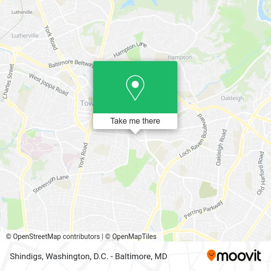
See Shindigs, Baltimore County, on the map
Public Transit to Shindigs in Baltimore County
Wondering how to get to Shindigs in Baltimore County? Moovit helps you find the best way to get to Shindigs with step-by-step directions from the nearest public transit station.
Moovit provides free maps and live directions to help you navigate through your city. View schedules, routes, timetables, and find out how long does it take to get to Shindigs in real time.
Looking for the nearest stop or station to Shindigs? Check out this list of stops closest to your destination: Goucher Blvd & Putty Hill Ave Wb; Putty Hill Avenue at Calvert Hall College High School Eb; Putty Hill Ave & Goucher Blvd FS Sb; #31 Putty Hill Ave at Towson Marketplace ***.
Bus: 36, 53, CITYLINK GREEN, TOWSON ORANGE, GOUCHER - LOCH RAVEN.
Want to see if there’s another route that gets you there at an earlier time? Moovit helps you find alternative routes or times. Get directions from and directions to Shindigs easily from the Moovit App or Website.
We make riding to Shindigs easy, which is why over 1.5 million users, including users in Baltimore County, trust Moovit as the best app for public transit. You don’t need to download an individual bus app or train app, Moovit is your all-in-one transit app that helps you find the best bus time or train time available.
For information on prices of bus, costs and ride fares to Shindigs, please check the Moovit app.
Use the app to navigate to popular places including to the airport, hospital, stadium, grocery store, mall, coffee shop, school, college, and university.
Shindigs Address: 36 Acorn Cir Towson, MD 21286 street in Baltimore County
- A&A Phone Services,
- Hello Addie,
- New Level Cleaning Service,
- Towson Watch Co.,
- American Crypto Bitcoin ATM,
- Putty Hill Ave and Goucher Blvd,
- Destination XL,
- First Watch,
- Panda Express,
- Galaxy Garage Door Repair Service,
- Navy Federal Credit Union,
- Towson Place Shopping Center,
- Walmart,
- Marshalls,
- Alley Animals,
- Target,
- Target Store Towson,
- Global Traders Direct,
- Towson Place,
- STARBUCKS
Places Near Shindigs (Baltimore County)
- National Museum of African American History and Culture, Washington,
- National Zoo, Washington,
- National Mall, Washington,
- Basilica of the National Shrine, Washington,
- Museum Of The Bible, Washington,
- Georgetown, Washington,
- Amazon Hq2, Arlington County,
- Pennsylvania Ave NW (3rd st and pennsylvania), Washington,
- PG Mall, Prince George's County,
- Marriott Marquis Washington, DC, Washington,
- Capital One Arena, Washington,
- Westfield Montgomery Mall, Montgomery County,
- Rock Creek Tennis Center, Washington,
- M&T Bank Stadium, Baltimore,
- Sibley Memorial Hospital, Washington,
- The Anthem, Washington,
- Washington National Cathedral, Washington,
- Washington DC VA Medical Center, Washington,
- Camden Yards, Baltimore,
- Warner Theatre, Washington
How to get to popular places in Washington, D.C. - Baltimore, MD with public transit
Get around Baltimore County by public transit!
Traveling around Baltimore County has never been so easy. See step by step directions as you travel to any attraction, street or major public transit station. View bus and train schedules, arrival times, service alerts and detailed routes on a map, so you know exactly how to get to anywhere in Baltimore County.
When traveling to any destination around Baltimore County use Moovit's Live Directions with Get Off Notifications to know exactly where and how far to walk, how long to wait for your line, and how many stops are left. Moovit will alert you when it's time to get off — no need to constantly re-check whether yours is the next stop.
Wondering how to use public transit in Baltimore County or how to pay for public transit in Baltimore County? Moovit public transit app can help you navigate your way with public transit easily, and at minimum cost. It includes public transit fees, ticket prices, and costs. Looking for a map of Baltimore County public transit lines? Moovit public transit app shows all public transit maps in Baltimore County with all Bus, Train, Metro, Light Rail and Ferry routes and stops on an interactive map.
Washington, D.C. - Baltimore, MD has 5 transit type(s), including: Bus, Train, Metro, Light Rail and Ferry, operated by several transit agencies, including WMATA, Montgomery County Ride On, Fairfax Connector, TheBus, PRTC, DASH - Alexandria, Arlington Transit (ART), RTA of Central Maryland, MDOT MTA, MDOT MTA Light RailLink, MDOT MTA Commuter Bus, MDOT MTA Local Bus, FXBGO!, Virginia Railway Express (VRE) and MARC