Directions to Shoppers Food Market (Saint Mary's County) with public transportation
The following transit lines have routes that pass near Shoppers Food Market
How to get to Shoppers Food Market by bus?
Click on the bus route to see step by step directions with maps, line arrival times and updated time schedules.
From Fort Washington, MD, Prince George's County
218 minFrom Andrews Air Force Base, Prince George's County
110 minFrom Upper Marlboro Courthouse, Prince George's County
279 minFrom The Capital Wheel at the National Harbor, Prince George's County
340 minFrom Joint Base Andrews, Prince George's County
111 minFrom Clinton, MD, Prince George's County
155 minFrom Waldorf, MD, Charles County
63 minFrom Inova Mount Vernon Hospital, Fairfax County
324 min
Bus stops near Shoppers Food Market in Saint Mary's County
Bus lines to Shoppers Food Market in Saint Mary's County
What are the closest stations to Shoppers Food Market?
The closest stations to Shoppers Food Market are:
- Charlotte Hall Food Lion is 864 yards away, 11 min walk.
- Mckays is 2028 yards away, 24 min walk.
Which bus lines stop near Shoppers Food Market?
These bus lines stop near Shoppers Food Market: 301 PARK & RIDE TRANSFER POINT - WALDORF TRANSFER POINT, 715, 735.
What’s the nearest bus station to Shoppers Food Market in Saint Mary's County?
The nearest bus station to Shoppers Food Market in Saint Mary's County is Charlotte Hall Food Lion. It’s a 11 min walk away.
What time is the first bus to Shoppers Food Market in Saint Mary's County?
The 4 is the first bus that goes to Shoppers Food Market in Saint Mary's County. It stops nearby at 6:47 AM.
What time is the last bus to Shoppers Food Market in Saint Mary's County?
The 301 PARK & RIDE TRANSFER POINT - WALDORF TRANSFER POINT is the last bus that goes to Shoppers Food Market in Saint Mary's County. It stops nearby at 8:02 PM.
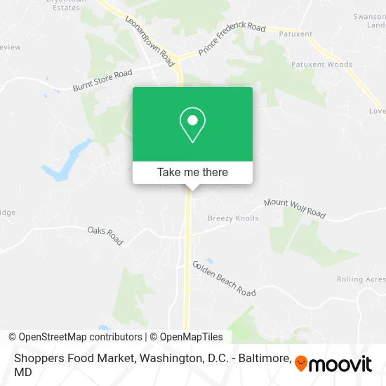
See Shoppers Food Market, Saint Mary's County, on the map
Public Transit to Shoppers Food Market in Saint Mary's County
Wondering how to get to Shoppers Food Market in Saint Mary's County? Moovit helps you find the best way to get to Shoppers Food Market with step-by-step directions from the nearest public transit station.
Moovit provides free maps and live directions to help you navigate through your city. View schedules, routes, timetables, and find out how long does it take to get to Shoppers Food Market in real time.
Looking for the nearest stop or station to Shoppers Food Market? Check out this list of stops closest to your destination: Charlotte Hall Food Lion; Mckays.
Bus: 301 PARK & RIDE TRANSFER POINT - WALDORF TRANSFER POINT, 715, 735, 2, 4, 6, PURPLE.
Want to see if there’s another route that gets you there at an earlier time? Moovit helps you find alternative routes or times. Get directions from and directions to Shoppers Food Market easily from the Moovit App or Website.
We make riding to Shoppers Food Market easy, which is why over 1.7 million users, including users in Saint Mary's County, trust Moovit as the best app for public transit. You don’t need to download an individual bus app or train app, Moovit is your all-in-one transit app that helps you find the best bus time or train time available.
For information on prices of bus and metro, costs and ride fares to Shoppers Food Market, please check the Moovit app.
Use the app to navigate to popular places including to the airport, hospital, stadium, grocery store, mall, coffee shop, school, college, and university.
Shoppers Food Market Address: 37670 Mohawk Dr street in Saint Mary's County
- Miller's Country Market (Loretta's Country Sausage and Meats),
- Amazon Locker-Bromius,
- Golden Beach Park And Ride,
- Buck's Shop,
- Charlotte Hall Park and Ride,
- Bam's Body Shop Tattoo And Piercing,
- Jump Ministry,
- Agape Grace Preschool Center,
- A & M Glass Co. Inc,
- A & M Glass Co. Inc.,
- Doc's Early Learning & Daycare,
- Villa Builders, Inc.,
- Hughesville Vfd And Rescue Squad - Co 2,
- Hughesville Volunteer Fire And Ems Co 2,
- Hughesville MD USA,
- Hubbell Towing Inc.,
- Doctor Remodeler,
- Maryland Legal Aid,
- Hotel Charles Llc,
- KS Accounting Llc
Places Near Shoppers Food Market (Saint Mary's County)
- Basilica of the National Shrine, Washington,
- National Zoo, Washington,
- National Museum of African American History and Culture, Washington,
- Sibley Memorial Hospital, Washington,
- Washington DC VA Medical Center, Washington,
- Pennsylvania Ave NW (3rd st and pennsylvania), Washington,
- Georgetown, Washington,
- Washington National Cathedral, Washington,
- Rock Creek Tennis Center, Washington,
- Amazon Hq2, Arlington County,
- Museum Of The Bible, Washington,
- Westfield Montgomery Mall, Montgomery County,
- National Theatre, Washington,
- Marriott Marquis Washington, DC, Washington,
- Camden Yards, Baltimore,
- Warner Theatre, Washington,
- PG Mall, Prince George's County,
- M&T Bank Stadium, Baltimore,
- Capital One Arena, Washington,
- The Anthem, Washington
How to get to popular places in Washington, D.C. - Baltimore, MD with public transit
Get around Saint Mary's County by public transit!
Traveling around Saint Mary's County has never been so easy. See step by step directions as you travel to any attraction, street or major public transit station. View bus and train schedules, arrival times, service alerts and detailed routes on a map, so you know exactly how to get to anywhere in Saint Mary's County.
When traveling to any destination around Saint Mary's County use Moovit's Live Directions with Get Off Notifications to know exactly where and how far to walk, how long to wait for your line, and how many stops are left. Moovit will alert you when it's time to get off — no need to constantly re-check whether yours is the next stop.
Wondering how to use public transit in Saint Mary's County or how to pay for public transit in Saint Mary's County? Moovit public transit app can help you navigate your way with public transit easily, and at minimum cost. It includes public transit fees, ticket prices, and costs. Looking for a map of Saint Mary's County public transit lines? Moovit public transit app shows all public transit maps in Saint Mary's County with all Bus, Train, Metro, Light Rail and Ferry routes and stops on an interactive map.
Washington, D.C. - Baltimore, MD has 5 transit type(s), including: Bus, Train, Metro, Light Rail and Ferry, operated by several transit agencies, including WMATA, Montgomery County Ride On, Fairfax Connector, TheBus, PRTC, DASH - Alexandria, Arlington Transit (ART), RTA of Central Maryland, MDOT MTA, MDOT MTA Light RailLink, MDOT MTA Commuter Bus, MDOT MTA Local Bus, FXBGO!, Virginia Railway Express (VRE) and MARC