How to get to Shore United Bank by bus?
Click on the bus route to see step by step directions with maps, line arrival times and updated time schedules.
From Port of Baltimore - Cruise Maryland Terminal, Baltimore
61 minFrom Walmart, Baltimore County
58 minFrom Maryland Live! Casino, Anne Arundel County
108 minFrom NSA Friendship Annex (FANX), Anne Arundel County
91 minFrom Arundel Mills, Anne Arundel County
106 minFrom Medstar Harbor Hospital, Baltimore
37 minFrom Pasadena, Maryland, Anne Arundel County
25 minFrom MD Live Casino Arundel Mills, Anne Arundel County
104 minFrom Walmart Supercenter, Baltimore County
58 min
Bus stop near Shore United Bank in Anne Arundel County
- Crain Hwy & Post 40 Road Nb, 8 min walk,VIEW
Light Rail stations near Shore United Bank in Anne Arundel County
- Glen Burnie (Cromwell), 36 min walk,VIEW
Bus lines to Shore United Bank in Anne Arundel County
What are the closest stations to Shore United Bank?
The closest stations to Shore United Bank are:
- Crain Hwy & Post 40 Road Nb is 598 yards away, 8 min walk.
- Glen Burnie (Cromwell) is 3072 yards away, 36 min walk.
Which bus lines stop near Shore United Bank?
These bus lines stop near Shore United Bank: 69, 70.
What’s the nearest bus station to Shore United Bank in Anne Arundel County?
The nearest bus station to Shore United Bank in Anne Arundel County is Crain Hwy & Post 40 Road Nb. It’s a 8 min walk away.
What time is the first light rail to Shore United Bank in Anne Arundel County?
The LIGHT RAILLINK is the first light rail that goes to Shore United Bank in Anne Arundel County. It stops nearby at 4:32 AM.
What time is the last light rail to Shore United Bank in Anne Arundel County?
The LIGHT RAILLINK is the last light rail that goes to Shore United Bank in Anne Arundel County. It stops nearby at 12:30 AM.
What time is the first bus to Shore United Bank in Anne Arundel County?
The 69 is the first bus that goes to Shore United Bank in Anne Arundel County. It stops nearby at 5:14 AM.
What time is the last bus to Shore United Bank in Anne Arundel County?
The 69 is the last bus that goes to Shore United Bank in Anne Arundel County. It stops nearby at 2:42 AM.
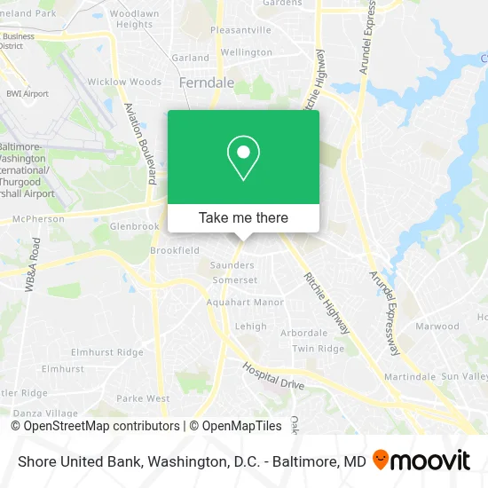
See Shore United Bank, Anne Arundel County, on the map
Public Transit to Shore United Bank in Anne Arundel County
Wondering how to get to Shore United Bank in Anne Arundel County? Moovit helps you find the best way to get to Shore United Bank with step-by-step directions from the nearest public transit station.
Moovit provides free maps and live directions to help you navigate through your city. View schedules, routes, timetables, and find out how long does it take to get to Shore United Bank in real time.
Looking for the nearest stop or station to Shore United Bank? Check out this list of stops closest to your destination: Crain Hwy & Post 40 Road Nb; Glen Burnie (Cromwell).
Bus: 69, 70.
Want to see if there’s another route that gets you there at an earlier time? Moovit helps you find alternative routes or times. Get directions from and directions to Shore United Bank easily from the Moovit App or Website.
We make riding to Shore United Bank easy, which is why over 1.7 million users, including users in Anne Arundel County, trust Moovit as the best app for public transit. You don’t need to download an individual bus app or train app, Moovit is your all-in-one transit app that helps you find the best bus time or train time available.
For information on prices of bus, light rail and train, costs and ride fares to Shore United Bank, please check the Moovit app.
Use the app to navigate to popular places including to the airport, hospital, stadium, grocery store, mall, coffee shop, school, college, and university.
Shore United Bank Address: 413 Crain Highway S street in Anne Arundel County
- Vini's Painting And Renovation,
- Solid Crown Chimney,
- Glen Burnie - Crain Highway South Hle,
- Glen Burnie - Delivery Rentals,
- Hertz Car Rental - Glen Burnie Hle,
- Mrbeast Burger,
- Monument City Capital,
- Albert Bartlinski & Associates,
- Venice Mundle-Harvey: Allstate Insurance,
- Environmental Alliance, Inc.,
- Levonye Professionals,
- Niu Dentistry - Glen Burnie,
- Embrace Cbd Glen Burnie - Wellness Center,
- Evergreen Gene's Garden Center & Landscape Services,
- Johnny And Gore Car Care,
- Hol-Body,
- The Table at Glen Burnie,
- Henry Kilburn | Real Estate Agent,
- Glen Burnie Xtreme Auto Repair,
- Ward & Co Law
Places Near Shore United Bank (Anne Arundel County)
- Washington National Cathedral, Washington,
- Capital One Arena, Washington,
- Amazon Hq2, Arlington County,
- Museum Of The Bible, Washington,
- Warner Theatre, Washington,
- Basilica of the National Shrine, Washington,
- Georgetown, Washington,
- Camden Yards, Baltimore,
- National Theatre, Washington,
- Westfield Montgomery Mall, Montgomery County,
- National Zoo, Washington,
- National Museum of African American History and Culture, Washington,
- Pennsylvania Ave NW (3rd st and pennsylvania), Washington,
- Marriott Marquis Washington, DC, Washington,
- PG Mall, Prince George's County,
- Sibley Memorial Hospital, Washington,
- Washington DC VA Medical Center, Washington,
- The Anthem, Washington,
- M&T Bank Stadium, Baltimore,
- Rock Creek Tennis Center, Washington
How to get to popular places in Washington, D.C. - Baltimore, MD with public transit
Get around Anne Arundel County by public transit!
Traveling around Anne Arundel County has never been so easy. See step by step directions as you travel to any attraction, street or major public transit station. View bus and train schedules, arrival times, service alerts and detailed routes on a map, so you know exactly how to get to anywhere in Anne Arundel County.
When traveling to any destination around Anne Arundel County use Moovit's Live Directions with Get Off Notifications to know exactly where and how far to walk, how long to wait for your line, and how many stops are left. Moovit will alert you when it's time to get off — no need to constantly re-check whether yours is the next stop.
Wondering how to use public transit in Anne Arundel County or how to pay for public transit in Anne Arundel County? Moovit public transit app can help you navigate your way with public transit easily, and at minimum cost. It includes public transit fees, ticket prices, and costs. Looking for a map of Anne Arundel County public transit lines? Moovit public transit app shows all public transit maps in Anne Arundel County with all Bus, Train, Metro, Light Rail and Ferry routes and stops on an interactive map.
Washington, D.C. - Baltimore, MD has 5 transit type(s), including: Bus, Train, Metro, Light Rail and Ferry, operated by several transit agencies, including WMATA, Montgomery County Ride On, Fairfax Connector, TheBus, PRTC, DASH - Alexandria, Arlington Transit (ART), RTA of Central Maryland, MDOT MTA, MDOT MTA Light RailLink, MDOT MTA Commuter Bus, MDOT MTA Local Bus, FXBGO!, Virginia Railway Express (VRE) and MARC