Directions to Shoreline Emergency Vehicle Graphics Llc (Harford County) with public transportation
The following transit lines have routes that pass near Shoreline Emergency Vehicle Graphics Llc
 Bus: 1.
How to get to Shoreline Emergency Vehicle Graphics Llc by bus?
Click on the bus route to see step by step directions with maps, line arrival times and updated time schedules.
From Megabus Stop - White Marsh Park & Ride, Baltimore County
122 minFrom White Marsh Mall, Baltimore County
140 minFrom Edgewood, Maryland, Harford County
126 minFrom Amazon Fulfillment Center-MTN2, Harford County
75 minFrom Kohl's Distribution Center, Harford County
139 minFrom Wayfair Aberdeen Warehouse, Harford County
113 minFrom Franklin Square Dr (franklin hospital), Baltimore County
148 minFrom Medstar Franklin Square Medical Center, Baltimore County
149 minFrom I-95 Exit 80 - Belcamp (MD 543), Harford County
101 min
Bus stop near Shoreline Emergency Vehicle Graphics Llc in Harford County
- Adam's Jeep (Opposite 3485 Churchville/Rt22), 15 min walk,VIEW
Bus lines to Shoreline Emergency Vehicle Graphics Llc in Harford County
- 1, Northbound,VIEW
What are the closest stations to Shoreline Emergency Vehicle Graphics Llc?
The closest stations to Shoreline Emergency Vehicle Graphics Llc are:
- Adam's Jeep (Opposite 3485 Churchville/Rt22) is 1194 yards away, 15 min walk.
Which bus line stops near Shoreline Emergency Vehicle Graphics Llc?
1 (Northbound)
What’s the nearest bus station to Shoreline Emergency Vehicle Graphics Llc in Harford County?
The nearest bus station to Shoreline Emergency Vehicle Graphics Llc in Harford County is Adam's Jeep (Opposite 3485 Churchville/Rt22). It’s a 15 min walk away.
What time is the first bus to Shoreline Emergency Vehicle Graphics Llc in Harford County?
The 1 is the first bus that goes to Shoreline Emergency Vehicle Graphics Llc in Harford County. It stops nearby at 5:53 AM.
What time is the last bus to Shoreline Emergency Vehicle Graphics Llc in Harford County?
The 1 is the last bus that goes to Shoreline Emergency Vehicle Graphics Llc in Harford County. It stops nearby at 8:01 PM.
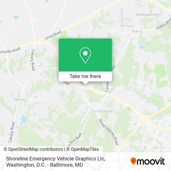
See Shoreline Emergency Vehicle Graphics Llc, Harford County, on the map
Public Transit to Shoreline Emergency Vehicle Graphics Llc in Harford County
Wondering how to get to Shoreline Emergency Vehicle Graphics Llc in Harford County? Moovit helps you find the best way to get to Shoreline Emergency Vehicle Graphics Llc with step-by-step directions from the nearest public transit station.
Moovit provides free maps and live directions to help you navigate through your city. View schedules, routes, timetables, and find out how long does it take to get to Shoreline Emergency Vehicle Graphics Llc in real time.
Looking for the nearest stop or station to Shoreline Emergency Vehicle Graphics Llc? Check out this list of stops closest to your destination: Adam's Jeep (Opposite 3485 Churchville/Rt22).
Bus: 1.
Want to see if there’s another route that gets you there at an earlier time? Moovit helps you find alternative routes or times. Get directions from and directions to Shoreline Emergency Vehicle Graphics Llc easily from the Moovit App or Website.
We make riding to Shoreline Emergency Vehicle Graphics Llc easy, which is why over 1.7 million users, including users in Harford County, trust Moovit as the best app for public transit. You don’t need to download an individual bus app or train app, Moovit is your all-in-one transit app that helps you find the best bus time or train time available.
For information on prices of bus and train, costs and ride fares to Shoreline Emergency Vehicle Graphics Llc, please check the Moovit app.
Use the app to navigate to popular places including to the airport, hospital, stadium, grocery store, mall, coffee shop, school, college, and university.
Shoreline Emergency Vehicle Graphics Llc Address: 3409 Walnut Rd street in Harford County
- Lohr's Orchard,
- Bellyrub Inn & Groomery,
- Deer Creek Archery,
- Goins Family Farm And Produce,
- All Church Adult Fellowship,
- Mattingly Electric Inc.,
- Eagle And Son Septic,
- Journey Garage Door,
- A1 Superseal, Inc.,
- Mack Designs Hair Studio,
- Amanda Larkin, Pa-C,
- Big M Outdoor Storage,
- Churchville Lightning Softball,
- Auto Fix Llc,
- Rost Performance,
- J And R Sheds And Equipment,
- Churchville Soccer Club Md,
- Mill Brook Disc Golf Course,
- Project Patriot,
- Little House Preparatory School
Places Near Shoreline Emergency Vehicle Graphics Llc (Harford County)
- Amazon Hq2, Arlington County,
- Marriott Marquis Washington, DC, Washington,
- Rock Creek Tennis Center, Washington,
- Westfield Montgomery Mall, Montgomery County,
- National Theatre, Washington,
- Capital One Arena, Washington,
- Washington DC VA Medical Center, Washington,
- M&T Bank Stadium, Baltimore,
- Warner Theatre, Washington,
- Georgetown, Washington,
- National Museum of African American History and Culture, Washington,
- Pennsylvania Ave NW (3rd st and pennsylvania), Washington,
- Camden Yards, Baltimore,
- Sibley Memorial Hospital, Washington,
- Museum Of The Bible, Washington,
- Washington National Cathedral, Washington,
- National Zoo, Washington,
- Basilica of the National Shrine, Washington,
- PG Mall, Prince George's County,
- The Anthem, Washington
How to get to popular places in Washington, D.C. - Baltimore, MD with public transit
Get around Harford County by public transit!
Traveling around Harford County has never been so easy. See step by step directions as you travel to any attraction, street or major public transit station. View bus and train schedules, arrival times, service alerts and detailed routes on a map, so you know exactly how to get to anywhere in Harford County.
When traveling to any destination around Harford County use Moovit's Live Directions with Get Off Notifications to know exactly where and how far to walk, how long to wait for your line, and how many stops are left. Moovit will alert you when it's time to get off — no need to constantly re-check whether yours is the next stop.
Wondering how to use public transit in Harford County or how to pay for public transit in Harford County? Moovit public transit app can help you navigate your way with public transit easily, and at minimum cost. It includes public transit fees, ticket prices, and costs. Looking for a map of Harford County public transit lines? Moovit public transit app shows all public transit maps in Harford County with all Bus, Train, Metro, Light Rail and Ferry routes and stops on an interactive map.
Washington, D.C. - Baltimore, MD has 5 transit type(s), including: Bus, Train, Metro, Light Rail and Ferry, operated by several transit agencies, including WMATA, Montgomery County Ride On, Fairfax Connector, TheBus, PRTC, DASH - Alexandria, Arlington Transit (ART), RTA of Central Maryland, MDOT MTA, MDOT MTA Light RailLink, MDOT MTA Commuter Bus, MDOT MTA Local Bus, FXBGO!, Virginia Railway Express (VRE) and MARC