How to get to Shred Nations by bus?
Click on the bus route to see step by step directions with maps, line arrival times and updated time schedules.
From Nisku Fire District Station (Station 1), Leduc County
91 minFrom Art by Sharon Marlow, Edmonton
54 minFrom Hearinglife, Edmonton
102 minFrom Jagare Ridge, Edmonton
44 minFrom Strathcona, Edmonton
73 minFrom Philds Tires, Edmonton
77 minFrom Alberta Justice And Solicitor General Training Academy, Edmonton
43 minFrom Windermere, Edmonton
58 minFrom Century Park Transit Centre, Edmonton
49 minFrom Grandview Stairs, Edmonton
100 min
Bus stops near Shred Nations in Edmonton
Bus lines to Shred Nations in Edmonton
What are the closest stations to Shred Nations?
The closest stations to Shred Nations are:
- 91 Street & Ellerslie Road SW is 214 meters away, 3 min walk.
- 95 Street & Parsons Road SW is 425 meters away, 6 min walk.
- Ellwood Road & Ellwood Drive SW is 655 meters away, 9 min walk.
Which bus lines stop near Shred Nations?
These bus lines stop near Shred Nations: 518, 519.
What’s the nearest bus station to Shred Nations in Edmonton?
The nearest bus station to Shred Nations in Edmonton is 91 Street & Ellerslie Road SW. It’s a 3 min walk away.
What time is the first bus to Shred Nations in Edmonton?
The 519 is the first bus that goes to Shred Nations in Edmonton. It stops nearby at 5:54 AM.
What time is the last bus to Shred Nations in Edmonton?
The 519 is the last bus that goes to Shred Nations in Edmonton. It stops nearby at 12:11 AM.
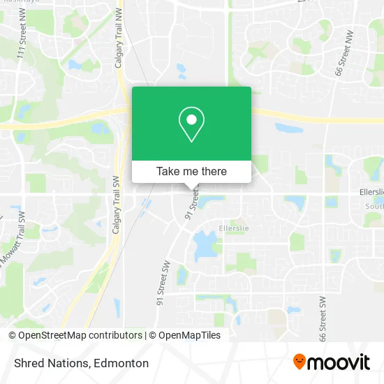
See Shred Nations, Edmonton, on the map
Public Transit to Shred Nations in Edmonton
Wondering how to get to Shred Nations in Edmonton? Moovit helps you find the best way to get to Shred Nations with step-by-step directions from the nearest public transit station.
Moovit provides free maps and live directions to help you navigate through your city. View schedules, routes, timetables, and find out how long does it take to get to Shred Nations in real time.
Looking for the nearest stop or station to Shred Nations? Check out this list of stops closest to your destination: 91 Street & Ellerslie Road SW; 95 Street & Parsons Road SW; Ellwood Road & Ellwood Drive SW.
Bus: 518, 519, 665, 521, 664.
Want to see if there’s another route that gets you there at an earlier time? Moovit helps you find alternative routes or times. Get directions from and directions to Shred Nations easily from the Moovit App or Website.
We make riding to Shred Nations easy, which is why over 1.5 million users, including users in Edmonton, trust Moovit as the best app for public transit. You don’t need to download an individual bus app or train app, Moovit is your all-in-one transit app that helps you find the best bus time or train time available.
For information on prices of bus and light rail, costs and ride fares to Shred Nations, please check the Moovit app.
Use the app to navigate to popular places including to the airport, hospital, stadium, grocery store, mall, coffee shop, school, college, and university.
Shred Nations Address: 9218 Ellerslie Rd SW Edmonton, AB T6X 0K6 street in Edmonton
- City Architecture Inc.,
- Unity Global Financial,
- Dirtyblinds.Ca,
- North Central Co-Opera,
- WESTERN UNION,
- HR Streamline,
- Pro Steel Constructors LTD,
- TACO BELL,
- Vault Media Business Solutions,
- Pestlink,
- Revive Cosmetic Clinic,
- Origins,
- Benefit,
- Five Star Tailors & Dry Cleaning,
- Nova Medical Clinic,
- Medicenter Ellerslie,
- Ellerslie Medicentre,
- Mary Brown's Famous Chicken,
- Trademark Floor,
- Prime Time Donair and Kebab
Places Near Shred Nations (Edmonton)
- Whyte Avenue, Edmonton,
- Grey Nuns Community Hospital, Edmonton,
- Kingsway Mall, Edmonton,
- Edmonton VIA Rail Station, Edmonton,
- University of Alberta, Edmonton,
- Borden Park, Edmonton,
- Kaye Edmonton Clinic, Edmonton,
- MacEwan University, Edmonton,
- Fort Edmonton Park, Edmonton,
- Cross Cancer Institute, Edmonton,
- Northgate Centre, Edmonton,
- Londonderry Mall, Edmonton,
- Edmonton Commonwealth Stadium, Edmonton,
- Alberta Legislature Building, Edmonton,
- West Edmonton Mall, Edmonton,
- Edmonton Valley Zoo, Edmonton,
- Royal Alexandra Hospital, Edmonton,
- Edmonton EXPO Centre, Edmonton,
- Canada Place Service Canada Centre, Edmonton,
- Rogers Place, Edmonton
How to get to popular places in Edmonton with public transit
Get around Edmonton by public transit!
Traveling around Edmonton has never been so easy. See step by step directions as you travel to any attraction, street or major public transit station. View bus and train schedules, arrival times, service alerts and detailed routes on a map, so you know exactly how to get to anywhere in Edmonton.
When traveling to any destination around Edmonton use Moovit's Live Directions with Get Off Notifications to know exactly where and how far to walk, how long to wait for your line, and how many stops are left. Moovit will alert you when it's time to get off — no need to constantly re-check whether yours is the next stop.
Wondering how to use public transit in Edmonton or how to pay for public transit in Edmonton? Moovit public transit app can help you navigate your way with public transit easily, and at minimum cost. It includes public transit fees, ticket prices, and costs. Looking for a map of Edmonton public transit lines? Moovit public transit app shows all public transit maps in Edmonton with all Bus and Light Rail routes and stops on an interactive map.
Edmonton has 2 transit type(s), including: Bus and Light Rail, operated by several transit agencies, including ETS LRT, ETS, Strathcona County Transit, St. Albert Transit, Spruce Grove Transit, Fort Saskatchewan Transit, Beaumont Transit and Leduc Transit