How to get to Simen Risborg by bus?
Click on the bus route to see step by step directions with maps, line arrival times and updated time schedules.
How to get to Simen Risborg by train?
Click on the train route to see step by step directions with maps, line arrival times and updated time schedules.
How to get to Simen Risborg by subway?
Click on the subway route to see step by step directions with maps, line arrival times and updated time schedules.
Bus stops near Simen Risborg in Oslo
Bus lines to Simen Risborg in Oslo
What are the closest stations to Simen Risborg?
The closest stations to Simen Risborg are:
- Røa Næringspark is 112 meters away, 2 min walk.
- Kristian Auberts Vei is 769 meters away, 10 min walk.
- Røa is 823 meters away, 11 min walk.
- Huseby Skole is 1054 meters away, 14 min walk.
- Røa T is 1096 meters away, 15 min walk.
- Ullernåsen is 1498 meters away, 20 min walk.
Which bus lines stop near Simen Risborg?
These bus lines stop near Simen Risborg: 42, 46.
Which train lines stop near Simen Risborg?
These train lines stop near Simen Risborg: L1, R12, R13.
Which subway line stops near Simen Risborg?
2 (Østerås)
What’s the nearest subway station to Simen Risborg in Oslo?
The nearest subway station to Simen Risborg in Oslo is Røa. It’s a 11 min walk away.
What’s the nearest bus station to Simen Risborg in Oslo?
The nearest bus station to Simen Risborg in Oslo is Røa Næringspark. It’s a 2 min walk away.
What time is the first subway to Simen Risborg in Oslo?
The 2 is the first subway that goes to Simen Risborg in Oslo. It stops nearby at 6:09 AM.
What time is the last subway to Simen Risborg in Oslo?
The 2 is the last subway that goes to Simen Risborg in Oslo. It stops nearby at 1:14 AM.
What time is the first bus to Simen Risborg in Oslo?
The 42N is the first bus that goes to Simen Risborg in Oslo. It stops nearby at 3:02 AM.
What time is the last bus to Simen Risborg in Oslo?
The FB3 is the last bus that goes to Simen Risborg in Oslo. It stops nearby at 1:35 AM.
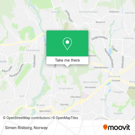
See Simen Risborg, Oslo, on the map
Public Transit to Simen Risborg in Oslo
Wondering how to get to Simen Risborg in Oslo? Moovit helps you find the best way to get to Simen Risborg with step-by-step directions from the nearest public transit station.
Moovit provides free maps and live directions to help you navigate through your city. View schedules, routes, timetables, and find out how long does it take to get to Simen Risborg in real time.
Looking for the nearest stop or station to Simen Risborg? Check out this list of stops closest to your destination: Røa Næringspark; Kristian Auberts Vei; Røa; Huseby Skole; Røa T; Ullernåsen.
Bus: 42, 46, 1N, 46X, FB3, 42N, 2B, 2N, 41.Train: L1, R12, R13.Subway: 2, 3, 5.
Want to see if there’s another route that gets you there at an earlier time? Moovit helps you find alternative routes or times. Get directions from and directions to Simen Risborg easily from the Moovit App or Website.
We make riding to Simen Risborg easy, which is why over 1.5 million users, including users in Oslo, trust Moovit as the best app for public transit. You don’t need to download an individual bus app or train app, Moovit is your all-in-one transit app that helps you find the best bus time or train time available.
For information on prices of bus, subway and train, costs and ride fares to Simen Risborg, please check the Moovit app.
Use the app to navigate to popular places including to the airport, hospital, stadium, grocery store, mall, coffee shop, school, college, and university.
Simen Risborg Address: Aslakveien 0753 Oslo street in Oslo
- Jastra AS,
- 0753,
- Jbaugstø Joachim Christian Baugstø,
- Maroc Chic,
- Jsj AS,
- Mikrolakk,
- Frisk,
- Haugens Bilshine Ditec,
- Beauty Selection,
- Lykke Catering Hege Renathe Wold,
- Aslakveien 14a,
- Hola Oslo,
- Tømerer og Snekkerservice, Sigurd Bruteig,
- Noras Vinimport AS,
- Celin Vanay,
- Røa,
- Bliksrud Telecom,
- Patrick Monclair,
- Hs Investments,
- Philipp Sung-Kun Moon
Places Near Simen Risborg (Oslo)
- Radiumhospitalet, Oslo,
- Bjerke Travbane, Oslo,
- Rikshospitalet (trikk), Oslo,
- Haukeland Universitetssjukehus, Bergen,
- Vestby Outlet Store, Vestby,
- Ikea Leangen, Trondheim,
- Drammen Sykehus, Drammen,
- Lovisenberg Diakonale Sykehus, Oslo,
- Ulriken, Bergen,
- Color Line Terminal, Oslo,
- Oslo S spor 19 (Trelastgata), Oslo,
- IKEA, Bergen,
- DFDS Seaways, Oslo,
- Tyholttårnet, Trondheim,
- Voldsløkka, Oslo,
- Quality Hotel Edvard Grieg, Bergen,
- Ullevål Stadion (T), Oslo,
- Nylandsbrua, Oslo,
- IKEA, Oslo,
- Jekta Storsenter, Tromsø
How to get to popular places in Norway with public transit
Get around Oslo by public transit!
Traveling around Oslo has never been so easy. See step by step directions as you travel to any attraction, street or major public transit station. View bus and train schedules, arrival times, service alerts and detailed routes on a map, so you know exactly how to get to anywhere in Oslo.
When traveling to any destination around Oslo use Moovit's Live Directions with Get Off Notifications to know exactly where and how far to walk, how long to wait for your line, and how many stops are left. Moovit will alert you when it's time to get off — no need to constantly re-check whether yours is the next stop.
Wondering how to use public transit in Oslo or how to pay for public transit in Oslo? Moovit public transit app can help you navigate your way with public transit easily, and at minimum cost. It includes public transit fees, ticket prices, and costs. Looking for a map of Oslo public transit lines? Moovit public transit app shows all public transit maps in Oslo with all Bus, Train, Subway, Light Rail, Ferry and Cable Car routes and stops on an interactive map.
Norway has 6 transit type(s), including: Bus, Train, Subway, Light Rail, Ferry and Cable Car, operated by several transit agencies, including Ruter, Skyss, AtB, Flytoget, Vy Tåg, SJ, Go-Ahead Norge AS, SJ Nord, Vestfold Kollektivtrafikk as, Snelandia, Innlandstrafikk, FRAM, FlixBus, Kolumbus and Brakar