How to get to Simmy's Auto by bus?
Click on the bus route to see step by step directions with maps, line arrival times and updated time schedules.
From Walmart Supercenter, Hallandale Beach
51 minFrom Sensual Massage 4 Women, Miami Beach
55 minFrom 16900 NW 12th Ave, Miami Gardens
43 minFrom Collins Ave / 80th St, Miami Beach
53 minFrom NW 95th St / NW 17th Ave, Miami
64 minFrom The Sherry Frontenac Hotel, Miami Beach
58 minFrom Yellow Green Farmers Market, Hollywood
68 minFrom Collins Hotel, Miami Beach
58 minFrom Bay Harbor Islands, Miami Beach
43 minFrom Amazon Fulfillment Center - MIA1, Miami
72 min
Bus stops near Simmy's Auto in Miami
Train station near Simmy's Auto in Miami
- Aventura, 52 min walk,VIEW
Bus lines to Simmy's Auto in Miami
What are the closest stations to Simmy's Auto?
The closest stations to Simmy's Auto are:
- Ne 171 St & Ne 18 Av is 142 yards away, 2 min walk.
- Ne 19 Av & Ne 171 St is 284 yards away, 4 min walk.
- Aventura is 4397 yards away, 52 min walk.
Which bus line stops near Simmy's Auto?
9 (9a - Downtown Miami Via 171 St)
What’s the nearest bus station to Simmy's Auto in Miami?
The nearest bus station to Simmy's Auto in Miami is Ne 171 St & Ne 18 Av. It’s a 2 min walk away.
What time is the first train to Simmy's Auto in Miami?
The BLFM is the first train that goes to Simmy's Auto in Miami. It stops nearby at 6:09 AM.
What time is the last train to Simmy's Auto in Miami?
The BLFM is the last train that goes to Simmy's Auto in Miami. It stops nearby at 12:07 AM.
What time is the first bus to Simmy's Auto in Miami?
The 9 is the first bus that goes to Simmy's Auto in Miami. It stops nearby at 3:55 AM.
What time is the last bus to Simmy's Auto in Miami?
The 9 is the last bus that goes to Simmy's Auto in Miami. It stops nearby at 1:06 AM.
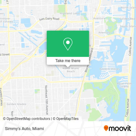
See Simmy's Auto, Miami, on the map
Public Transit to Simmy's Auto in Miami
Wondering how to get to Simmy's Auto in Miami? Moovit helps you find the best way to get to Simmy's Auto with step-by-step directions from the nearest public transit station.
Moovit provides free maps and live directions to help you navigate through your city. View schedules, routes, timetables, and find out how long does it take to get to Simmy's Auto in real time.
Looking for the nearest stop or station to Simmy's Auto? Check out this list of stops closest to your destination: Ne 171 St & Ne 18 Av; Ne 19 Av & Ne 171 St; Aventura.
Bus: 9, 510, NMBEACB.Train: BLFM.
Want to see if there’s another route that gets you there at an earlier time? Moovit helps you find alternative routes or times. Get directions from and directions to Simmy's Auto easily from the Moovit App or Website.
We make riding to Simmy's Auto easy, which is why over 1.5 million users, including users in Miami, trust Moovit as the best app for public transit. You don’t need to download an individual bus app or train app, Moovit is your all-in-one transit app that helps you find the best bus time or train time available.
For information on prices of bus, costs and ride fares to Simmy's Auto, please check the Moovit app.
Use the app to navigate to popular places including to the airport, hospital, stadium, grocery store, mall, coffee shop, school, college, and university.
Simmy's Auto Address: NE 18th Ave North Miami Beach, FL 33162 street in Miami
- Wrendly Mesidor Consulting Group,
- Minked by Niaa,
- Trebol Air Conditioning,
- Lakay Cleaning Services,
- Nathy Paradise 101,
- Dl'Chayim Construction,
- Gasa Professional Painting Services,
- Pure Car,
- Cosmolink,
- MS Clean's,
- Sofl Navigation - Luxury Pontoons,
- Building Dough Entertainment,
- Eugene Miami Soul Handyman,
- Handy AS A Dandy,
- Torres Pavers Installation,
- Florida Truck Repair,
- Sujobuildersusa,
- Tracht Gut,
- International Towers Condominium Associa,
- Quantum Cleaning Miami
Places Near Simmy's Auto (Miami)
- Keiser University Flagship Campus, West Palm Beach,
- Miami-Dade County Courthouse, Miami,
- Miami Design District, Miami,
- Aventura Mall, Miami,
- Aventura Mall, Miami Beach,
- Brickell City Centre, Miami,
- Port of Miami Cruise Terminal, Miami,
- Dolphin Mall Bus, Miami,
- Dolphin Mall, Miami,
- Hard Rock Stadium, Miami Gardens,
- Sawgrass Mall, Miami,
- Miami Freedom Park, Miami,
- Marlins Park, Miami,
- Richard E. Gerstein Justice Building, Miami,
- Sawgrass mall ( FL ), Miami Beach,
- Bayside Marketplace, Miami,
- Miami VA Hospital, Miami,
- Wynwood, Miami,
- Zoo Miami, Miami,
- Little Havana, Miami
How to get to popular places in Miami with public transit
Get around Miami by public transit!
Traveling around Miami has never been so easy. See step by step directions as you travel to any attraction, street or major public transit station. View bus and train schedules, arrival times, service alerts and detailed routes on a map, so you know exactly how to get to anywhere in Miami.
When traveling to any destination around Miami use Moovit's Live Directions with Get Off Notifications to know exactly where and how far to walk, how long to wait for your line, and how many stops are left. Moovit will alert you when it's time to get off — no need to constantly re-check whether yours is the next stop.
Wondering how to use public transit in Miami or how to pay for public transit in Miami? Moovit public transit app can help you navigate your way with public transit easily, and at minimum cost. It includes public transit fees, ticket prices, and costs. Looking for a map of Miami public transit lines? Moovit public transit app shows all public transit maps in Miami with all Bus, Train, Light Rail and Ferry routes and stops on an interactive map.
Miami has 4 transit type(s), including: Bus, Train, Light Rail and Ferry, operated by several transit agencies, including Broward County Transit, Miami-Dade Transit, Metrorail, Palm Tran, Tri-Rail, Brightline, MARTY, City of Homestead Trolley, Key West Transit, Treasure Coast Connector, GoLine IRT, Amtrak, Greyhound-us, FlixBus-us and Aventura Express Shuttle Bus