How to get to Simsystem by bus?
Click on the bus route to see step by step directions with maps, line arrival times and updated time schedules.
From Globus Getränkecenter, Ludwigshafen-Oggersheim
118 minFrom Hans-Warsch-Platz,Ludwigshafen Oggersheim, Ludwigshafen-Oggersheim
76 minFrom Globus Getränkemarkt, Ludwigshafen-Oggersheim
120 minFrom Marie-Baum-Schule Heidelberg, Wieblingen
132 minFrom Möbel Höffner, Schwetzingen
65 minFrom Berufsbildende Schule Technik 2, Ludwigshafen-Mundenheim
200 minFrom Hauptfeuerwache, Berufsfeuerwehr Mannheim, Neckarau
67 minFrom Thoraxklinik Heidelberg, Neuenheim
134 minFrom BG-Unfallklinik, Ludwigshafen-Nördliche Innenstadt
84 min
How to get to Simsystem by train?
Click on the train route to see step by step directions with maps, line arrival times and updated time schedules.
From Krankenhaus GRN, Weinheim
108 minFrom Hans-Warsch-Platz,Ludwigshafen Oggersheim, Ludwigshafen-Oggersheim
78 minFrom Marie-Baum-Schule Heidelberg, Wieblingen
85 minFrom Möbel Höffner, Schwetzingen
74 minFrom Berufsbildende Schule Technik 2, Ludwigshafen-Mundenheim
85 minFrom Hauptfeuerwache, Berufsfeuerwehr Mannheim, Neckarau
69 minFrom BG-Unfallklinik, Ludwigshafen-Nördliche Innenstadt
83 min
Light Rail stations near Simsystem in Käfertal
- Käfertal, Hessische Straße, 8 min walk,VIEW
Bus stops near Simsystem in Käfertal
Bus lines to Simsystem in Käfertal
What are the closest stations to Simsystem?
The closest stations to Simsystem are:
- Käfertal, Hessische Straße is 574 meters away, 8 min walk.
- Käfertal, Habichtplatz is 634 meters away, 9 min walk.
- Käfertal, Boveristeg is 658 meters away, 9 min walk.
- Käfertal, Neues Leben is 839 meters away, 11 min walk.
- Käfertal, Feuerwache Nord is 892 meters away, 12 min walk.
Which bus lines stop near Simsystem?
These bus lines stop near Simsystem: 60, RNV 50.
Which train lines stop near Simsystem?
These train lines stop near Simsystem: S10, S9.
Which light rail lines stop near Simsystem?
These light rail lines stop near Simsystem: 4, RNV 4, RNV 4A, RNV 5.
What’s the nearest light rail station to Simsystem in Käfertal?
The nearest light rail station to Simsystem in Käfertal is Käfertal, Hessische Straße. It’s a 8 min walk away.
What’s the nearest bus station to Simsystem in Käfertal?
The nearest bus stations to Simsystem in Käfertal are Käfertal, Habichtplatz and Käfertal, Boveristeg. The closest one is a 9 min walk away.
What time is the first light rail to Simsystem in Käfertal?
The RNV 4 is the first light rail that goes to Simsystem in Käfertal. It stops nearby at 3:40 AM.
What time is the last light rail to Simsystem in Käfertal?
The 4 is the last light rail that goes to Simsystem in Käfertal. It stops nearby at 2:00 AM.
What time is the first bus to Simsystem in Käfertal?
The 55 is the first bus that goes to Simsystem in Käfertal. It stops nearby at 5:09 AM.
What time is the last bus to Simsystem in Käfertal?
The 60 is the last bus that goes to Simsystem in Käfertal. It stops nearby at 1:20 AM.
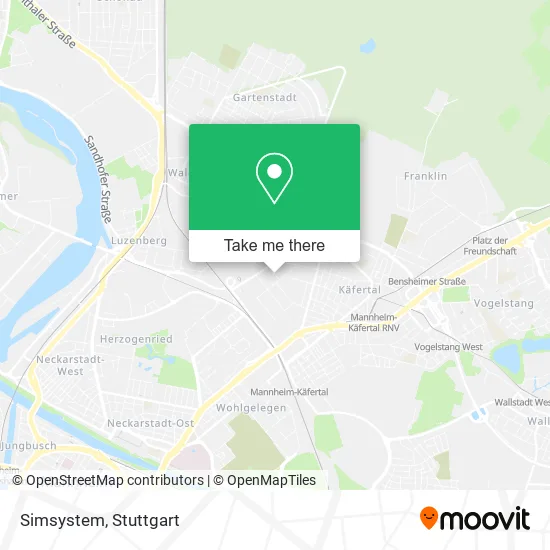
See Simsystem, Käfertal, on the map
Public Transit to Simsystem in Käfertal
Wondering how to get to Simsystem in Käfertal? Moovit helps you find the best way to get to Simsystem with step-by-step directions from the nearest public transit station.
Moovit provides free maps and live directions to help you navigate through your city. View schedules, routes, timetables, and find out how long does it take to get to Simsystem in real time.
Looking for the nearest stop or station to Simsystem? Check out this list of stops closest to your destination: Käfertal, Hessische Straße; Käfertal, Habichtplatz; Käfertal, Boveristeg; Käfertal, Neues Leben; Käfertal, Feuerwache Nord.
Bus: 60, RNV 50, RNV 58, RNV 45, RNV 53.Train: S10, S9.Light Rail: 4, RNV 4, RNV 4A, RNV 5.
Want to see if there’s another route that gets you there at an earlier time? Moovit helps you find alternative routes or times. Get directions from and directions to Simsystem easily from the Moovit App or Website.
We make riding to Simsystem easy, which is why over 1.7 million users, including users in Käfertal, trust Moovit as the best app for public transit. You don’t need to download an individual bus app or train app, Moovit is your all-in-one transit app that helps you find the best bus time or train time available.
For information on prices of bus, light rail and train, costs and ride fares to Simsystem, please check the Moovit app.
Use the app to navigate to popular places including to the airport, hospital, stadium, grocery store, mall, coffee shop, school, college, and university.
Simsystem Address: Ludwig-Roebel-Straße 5 Käfertal, 68309 Mannheim street in Käfertal
- Zuhause der Feuerio-Singers,
- Fotoatelier Elena F. Barba,
- Kadel,
- Energietechnik Hema-Maier,
- Silte Bau,
- Metallbau Mages,
- Neskudla Schreinerei,
- H.Tasci,
- Fenster Hettrich,
- Alsotec Gmbh,
- W. Gieseler Gardinenwäscherei,
- a. Dollenbacher,
- Freshtuch,
- Mc Cate Verwaltungs,
- Stc Mannheim,
- Wzm,
- Rhenolack Technology,
- B & K Elektronik,
- Raum & Möbel Thomas Beil und Thomas Lueg Gdbr,
- Pwk Immobilien
Places Near Simsystem (Käfertal)
- Geilhaus Haus 33a, Reutlingen-Betzingen,
- Im Wizemann (Halle), Bad Cannstatt,
- Porsche-Arena, Bad Cannstatt,
- FlixBus Haltestelle, Stuttgart,
- Gleis 101/102 (tief), Stuttgart-Mitte,
- Mercedes-Benz Museum (Mercedes Museum Stuttgart), Bad Cannstatt,
- Wilhelma (U-Bahn Wilhelma), Bad Cannstatt,
- Porsche Museum, Zuffenhausen,
- Hanns-Martin-Schleyer-Halle (Stuttgart Hans-Martin-Schleyerhalle), Bad Cannstatt,
- Hanns-Martin-Schleyer-Halle, Bad Cannstatt,
- Hauptbahnhof Stuttgart, Stuttgart-Mitte,
- Schleyerhalle, Bad Cannstatt,
- SI-Centrum, Möhringen,
- Klinikum Stuttgart - Katharinenhospital, Stuttgart-Mitte,
- Gasometer Pforzheim, Pforzheim,
- Marmorsaal Im Weissenburgpark, Stuttgart-Süd,
- Mercedes-Benz Museum, Bad Cannstatt,
- Waldfriedhof, Degerloch,
- Pariser Platz Stuttgart, Stuttgart-Mitte,
- Mettingen Eros-Center Puff Laufhaus, Esslingen Am Neckar
How to get to popular places in Stuttgart with public transit
Get around Käfertal by public transit!
Traveling around Käfertal has never been so easy. See step by step directions as you travel to any attraction, street or major public transit station. View bus and train schedules, arrival times, service alerts and detailed routes on a map, so you know exactly how to get to anywhere in Käfertal.
When traveling to any destination around Käfertal use Moovit's Live Directions with Get Off Notifications to know exactly where and how far to walk, how long to wait for your line, and how many stops are left. Moovit will alert you when it's time to get off — no need to constantly re-check whether yours is the next stop.
Wondering how to use public transit in Käfertal or how to pay for public transit in Käfertal? Moovit public transit app can help you navigate your way with public transit easily, and at minimum cost. It includes public transit fees, ticket prices, and costs. Looking for a map of Käfertal public transit lines? Moovit public transit app shows all public transit maps in Käfertal with all Bus, Train, Subway, Light Rail, Ferry, S-Bahn and Funicular routes and stops on an interactive map.
Stuttgart has 7 transit type(s), including: Bus, Train, Subway, Light Rail, Ferry, S-Bahn and Funicular, operated by several transit agencies, including SSB - Stadtbahn, SSB, SSB - Seilbahn / Zacke, S-Bahn Stuttgart, Rhein-Neckar-Verkehr GmbH (rnv), Karlsruher Verkehrsverbund, DB AG, DB Regiobus BW, Arverio Baden-Württemberg GmbH, DB RegioNetz Verkehrs GmbH Westfrankenbahn, DB Regio AG Baden-Württemberg, Südwestdeutsche Verkehrs-AG, DB Regio AG Mitte Region Hessen, DB and Bodensee-Oberschwaben-Bahn