Directions to Snack Frites (Crepy-En-Valois) with public transportation
The following transit lines have routes that pass near Snack Frites
 Bus: 2.
Bus stop near Snack Frites in Crepy-En-Valois
- Parc D'Activités, 3 min walk,VIEW
Bus lines to Snack Frites in Crepy-En-Valois
- 2, Avenue de Senlis,VIEW
- As24,
- Entrepot Fm Logistic,
- Rapid'Garage,
- Thérèse Services,
- Cjf Diag,
- Valois Fermetures,
- L'Éden,
- Chez Agnès,
- L'Orange Bleue Crépy-en-Valois,
- Fm Logistic,
- Randstad Inhouse,
- Dana Investissements,
- FedEx,
- Profournils,
- Carrefour Supply Chain,
- Ms Auto,
- Pièces Auto Crépy,
- Bureau Vallée,
- Burban Palettes Recyclage,
- Le Colombier
Places Near Snack Frites (Crepy-En-Valois)
- Centre Hospitalier des 15/20, Paris,
- Atelier Des Lumieres, Paris,
- 29 Rue Manin, Paris,
- Beaugrenelle, Paris,
- Galeries Lafayette Haussmann, Paris,
- Hôpital de la Pitié-Salpêtrière, Paris,
- Gare Routière Flixbus, Paris,
- Marché Saint-Pierre, Paris,
- Hôpital Beaujon, Clichy,
- Hôpital Pitié Salpêtrière, Paris,
- Galeries Lafayette, Paris,
- Hôpital Necker, Paris,
- Fondation Louis Vuitton, Paris,
- Théâtre Mogador, Paris,
- Hopital Foch, Suresnes,
- Créteil Soleil, Creteil,
- Hôpital Saint-Joseph, Paris,
- Hôpital Cochin, Paris,
- Hôpital Henri Mondor, Creteil,
- Hopital Lariboisière, Paris
How to get to popular places in Paris with public transit
What are the closest stations to Snack Frites?
The closest stations to Snack Frites are:
- Parc D'Activités is 183 meters away, 3 min walk.
Which bus line stops near Snack Frites?
2 (Centre Aquatique)
What’s the nearest bus station to Snack Frites in Crepy-En-Valois?
The nearest bus station to Snack Frites in Crepy-En-Valois is Parc D'Activités. It’s a 3 min walk away.
What time is the first train to Snack Frites in Crepy-En-Valois?
The K is the first train that goes to Snack Frites in Crepy-En-Valois. It stops nearby at 6:39 AM.
What time is the last train to Snack Frites in Crepy-En-Valois?
The K is the last train that goes to Snack Frites in Crepy-En-Valois. It stops nearby at 10:35 PM.
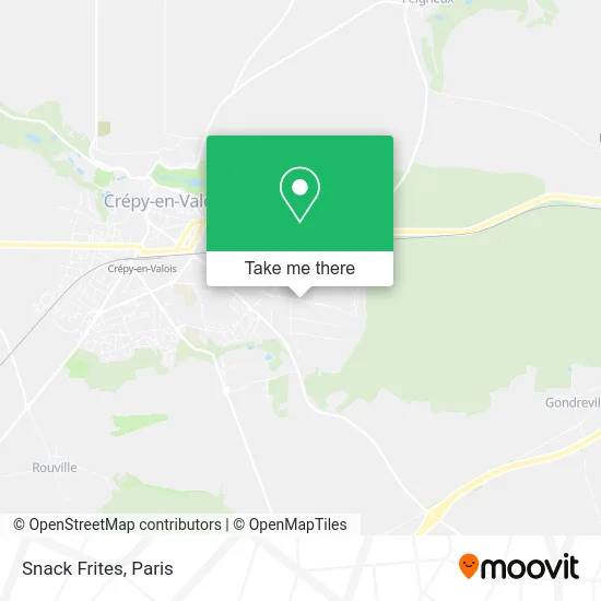
See Snack Frites, Crepy-En-Valois, on the map
Public Transit to Snack Frites in Crepy-En-Valois
Wondering how to get to Snack Frites in Crepy-En-Valois? Moovit helps you find the best way to get to Snack Frites with step-by-step directions from the nearest public transit station.
Moovit provides free maps and live directions to help you navigate through your city. View schedules, routes, timetables, and find out how long does it take to get to Snack Frites in real time.
Looking for the nearest stop or station to Snack Frites? Check out this list of stops closest to your destination: Parc D'Activités.
Bus: 2.
Want to see if there’s another route that gets you there at an earlier time? Moovit helps you find alternative routes or times. Get directions from and directions to Snack Frites easily from the Moovit App or Website.
We make riding to Snack Frites easy, which is why over 1.5 million users, including users in Crepy-En-Valois, trust Moovit as the best app for public transit. You don’t need to download an individual bus app or train app, Moovit is your all-in-one transit app that helps you find the best bus time or train time available.
For information on prices of bus, costs and ride fares to Snack Frites, please check the Moovit app.
Use the app to navigate to popular places including to the airport, hospital, stadium, grocery store, mall, coffee shop, school, college, and university.
Snack Frites Address: Rue du Bois de Tillet 60800 Crépy-en-Valois street in Crepy-En-Valois
Get around Crepy-En-Valois by public transit!
Traveling around Crepy-En-Valois has never been so easy. See step by step directions as you travel to any attraction, street or major public transit station. View bus and train schedules, arrival times, service alerts and detailed routes on a map, so you know exactly how to get to anywhere in Crepy-En-Valois.
When traveling to any destination around Crepy-En-Valois use Moovit's Live Directions with Get Off Notifications to know exactly where and how far to walk, how long to wait for your line, and how many stops are left. Moovit will alert you when it's time to get off — no need to constantly re-check whether yours is the next stop.
Wondering how to use public transit in Crepy-En-Valois or how to pay for public transit in Crepy-En-Valois? Moovit public transit app can help you navigate your way with public transit easily, and at minimum cost. It includes public transit fees, ticket prices, and costs. Looking for a map of Crepy-En-Valois public transit lines? Moovit public transit app shows all public transit maps in Crepy-En-Valois with all Bus, Train, Metro, Light Rail, RER, Funicular and Gondola routes and stops on an interactive map.
Paris has 7 transit type(s), including: Bus, Train, Metro, Light Rail, RER, Funicular and Gondola, operated by several transit agencies, including RATP, RER, RER Bus de remplacement, Train, Train Bus de remplacement, Tramway Bus de remplacement, TER, ADP, Magical Shuttle, Argenteuil - Boucles de Seine, Autocars Dominique, Bièvre, Brie et 2 Morin, Le Bus - C.C. du Clermontois and Cœur d’Essonne