Directions to Social Behavior Learning Solutions (Livingston) with public transportation
The following transit lines have routes that pass near Social Behavior Learning Solutions
 Bus: 73.
How to get to Social Behavior Learning Solutions by bus?
Click on the bus route to see step by step directions with maps, line arrival times and updated time schedules.
From Lakeland Bus Stop, Parsippany-Troy Hills
77 minFrom West Orange, NJ, West Orange
29 minFrom Mountainside Hospital, Glen Ridge
60 minFrom MMNJ, Parsippany-Troy Hills
88 minFrom Saint Barnabas Medical Center, Livingston
50 minFrom East Orange, NJ, East Orange
51 minFrom Clara Maass Medical Center, Belleville
75 minFrom Bloomfield, NJ, Bloomfield
74 minFrom Community Coach Bus 77, West Orange
26 min
Bus stop near Social Behavior Learning Solutions in Livingston
- Microlab Road at Industrial Parkway, 2 min walk,VIEW
Bus lines to Social Behavior Learning Solutions in Livingston
- 73, I-280 Express Livingston Ml I-280 Express Via Florham Pk,VIEW
What are the closest stations to Social Behavior Learning Solutions?
The closest stations to Social Behavior Learning Solutions are:
- Microlab Road at Industrial Parkway is 124 yards away, 2 min walk.
Which bus line stops near Social Behavior Learning Solutions?
73 (Whippany Troy Hills Road)
What’s the nearest bus station to Social Behavior Learning Solutions in Livingston?
The nearest bus station to Social Behavior Learning Solutions in Livingston is Microlab Road at Industrial Parkway. It’s a 2 min walk away.
What time is the first bus to Social Behavior Learning Solutions in Livingston?
The 73 is the first bus that goes to Social Behavior Learning Solutions in Livingston. It stops nearby at 6:07 AM.
What time is the last bus to Social Behavior Learning Solutions in Livingston?
The 73 is the last bus that goes to Social Behavior Learning Solutions in Livingston. It stops nearby at 10:53 PM.
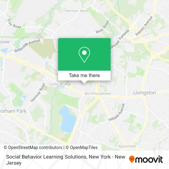
See Social Behavior Learning Solutions, Livingston, on the map
Public Transit to Social Behavior Learning Solutions in Livingston
Wondering how to get to Social Behavior Learning Solutions in Livingston? Moovit helps you find the best way to get to Social Behavior Learning Solutions with step-by-step directions from the nearest public transit station.
Moovit provides free maps and live directions to help you navigate through your city. View schedules, routes, timetables, and find out how long does it take to get to Social Behavior Learning Solutions in real time.
Looking for the nearest stop or station to Social Behavior Learning Solutions? Check out this list of stops closest to your destination: Microlab Road at Industrial Parkway.
Bus: 73.
Want to see if there’s another route that gets you there at an earlier time? Moovit helps you find alternative routes or times. Get directions from and directions to Social Behavior Learning Solutions easily from the Moovit App or Website.
We make riding to Social Behavior Learning Solutions easy, which is why over 1.5 million users, including users in Livingston, trust Moovit as the best app for public transit. You don’t need to download an individual bus app or train app, Moovit is your all-in-one transit app that helps you find the best bus time or train time available.
For information on prices of bus, costs and ride fares to Social Behavior Learning Solutions, please check the Moovit app.
Use the app to navigate to popular places including to the airport, hospital, stadium, grocery store, mall, coffee shop, school, college, and university.
Social Behavior Learning Solutions Address: 18 Microlab Rd Livingston, NJ 07039 street in Livingston
- Two Men and A Truck,
- Ui Rehab - New Jersey,
- Longhorn Lock Tech,
- Kessler Orthotic & Prosthetic Services - Kessler Orthotic and Prosthetic Services, Inc,
- Rockbox Fitness Livingston,
- Chabad Of Livingston,
- West Essex Ymca Peanut Shell Early Childhood Center,
- Ymca,
- Asterit Networks,
- The Stairlift Store - Acorn Stairlift 1899.00 Installed - No Tax - Lifetime Warranty,
- Embark Behavioral Health,
- Asterit Networks,
- Ups Access Point Location,
- Dsw,
- The Score Beyond the Lights,
- Party City,
- Sigma Solar & Roofing,
- The Feathered Fox,
- Valorgate Garage Door Services,
- Medi-Weightloss Livingston
Places Near Social Behavior Learning Solutions (Livingston)
- Hudson Yards, Manhattan,
- Pier 83, Manhattan,
- Rockefeller Center, Manhattan,
- Wall Street, Manhattan,
- Chinatown, Manhattan,
- Bellevue Hospital, Manhattan,
- Times Square, Manhattan,
- San Gennaro Feast, Manhattan,
- SoHo, Manhattan,
- Katz's Deli, Manhattan,
- 66 John Street, Manhattan,
- 26 Federal Plaza, Manhattan,
- Queens Center Mall, Queens,
- 1 Police Plaza, Manhattan,
- 376 Hudson Street, Manhattan,
- qqqq, Manhattan,
- 111 Centre New York City Supreme Court, Manhattan,
- Mountainside Hospital, Glen Ridge,
- 911 Memorial, Manhattan,
- 3 Stone St, Manhattan
How to get to popular places in New York - New Jersey with public transit
Get around Livingston by public transit!
Traveling around Livingston has never been so easy. See step by step directions as you travel to any attraction, street or major public transit station. View bus and train schedules, arrival times, service alerts and detailed routes on a map, so you know exactly how to get to anywhere in Livingston.
When traveling to any destination around Livingston use Moovit's Live Directions with Get Off Notifications to know exactly where and how far to walk, how long to wait for your line, and how many stops are left. Moovit will alert you when it's time to get off — no need to constantly re-check whether yours is the next stop.
Wondering how to use public transit in Livingston or how to pay for public transit in Livingston? Moovit public transit app can help you navigate your way with public transit easily, and at minimum cost. It includes public transit fees, ticket prices, and costs. Looking for a map of Livingston public transit lines? Moovit public transit app shows all public transit maps in Livingston with all Bus, Train, Subway, Light Rail, Ferry and Cable Car routes and stops on an interactive map.
New York - New Jersey has 6 transit type(s), including: Bus, Train, Subway, Light Rail, Ferry and Cable Car, operated by several transit agencies, including MTA Subway, Metro-North Railroad, LIRR, PATH, MTA New York City Transit - Express routes, MTA Bus, NJ Transit, NYC Ferry, NICE bus, Bee-Line Bus, NJ Transit Rail, Norwalk Transit District, Hartford Line, River Valley Transit and HART