How to get to Solidanse by bus?
Click on the bus route to see step by step directions with maps, line arrival times and updated time schedules.
Bus stops near Solidanse in Longvic
Light Rail stations near Solidanse in Longvic
- Carraz, 8 min walk,VIEW
Bus lines to Solidanse in Longvic
What are the closest stations to Solidanse?
The closest stations to Solidanse are:
- Justice is 349 meters away, 5 min walk.
- Ecole Des Métiers is 483 meters away, 7 min walk.
- Sembat is 545 meters away, 8 min walk.
- Carraz is 618 meters away, 8 min walk.
- Les Ateliers is 804 meters away, 11 min walk.
- Parc De La Colombière is 1444 meters away, 19 min walk.
- Dépôt Navette Personnel is 4533 meters away, 58 min walk.
Which bus lines stop near Solidanse?
These bus lines stop near Solidanse: 18, L5.
What’s the nearest light rail station to Solidanse in Longvic?
The nearest light rail station to Solidanse in Longvic is Carraz. It’s a 8 min walk away.
What’s the nearest bus station to Solidanse in Longvic?
The nearest bus station to Solidanse in Longvic is Justice. It’s a 5 min walk away.
What time is the first light rail to Solidanse in Longvic?
The T2 is the first light rail that goes to Solidanse in Longvic. It stops nearby at 4:26 AM.
What time is the last light rail to Solidanse in Longvic?
The T2 is the last light rail that goes to Solidanse in Longvic. It stops nearby at 1:14 AM.
What time is the first bus to Solidanse in Longvic?
The 93 is the first bus that goes to Solidanse in Longvic. It stops nearby at 4:26 AM.
What time is the last bus to Solidanse in Longvic?
The 45 is the last bus that goes to Solidanse in Longvic. It stops nearby at 9:52 PM.
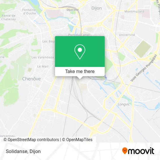
See Solidanse, Longvic, on the map
Public Transit to Solidanse in Longvic
Wondering how to get to Solidanse in Longvic? Moovit helps you find the best way to get to Solidanse with step-by-step directions from the nearest public transit station.
Moovit provides free maps and live directions to help you navigate through your city. View schedules, routes, timetables, and find out how long does it take to get to Solidanse in real time.
Looking for the nearest stop or station to Solidanse? Check out this list of stops closest to your destination: Justice; Ecole Des Métiers; Sembat; Carraz; Les Ateliers; Parc De La Colombière; Dépôt Navette Personnel.
Bus: 18, L5, 45, 42, NAVC, 12, 93.
Want to see if there’s another route that gets you there at an earlier time? Moovit helps you find alternative routes or times. Get directions from and directions to Solidanse easily from the Moovit App or Website.
We make riding to Solidanse easy, which is why over 1.5 million users, including users in Longvic, trust Moovit as the best app for public transit. You don’t need to download an individual bus app or train app, Moovit is your all-in-one transit app that helps you find the best bus time or train time available.
For information on prices of bus and light rail, costs and ride fares to Solidanse, please check the Moovit app.
Use the app to navigate to popular places including to the airport, hospital, stadium, grocery store, mall, coffee shop, school, college, and university.
Solidanse Address: 21 Rue de l'Ingénieur Bertin 21600 Longvic street in Longvic
- Le Chaource,
- Cabinet de Voyance Sylvie Paris,
- Deydier Eric,
- 14 Rue de l'Ingénieur Bertin,
- 1 Chemin de la Noue,
- Centre de formation des apprentis - La Noue,
- Ums,
- Centre D'examen Permis De Conduire,
- Rue de l'Ingénieur Stephenson,
- Rue Aristide Briand,
- Rue de l'Ingénieur Georges Stephenson,
- Jussieu Secours Ambulances Saint Bernard,
- Mppi,
- 4 Rue Professeur Georges Chabot,
- Solubox,
- Envie,
- 18 Rue Antoine Becquerel,
- Ecole Mansouri,
- Hervé Thermique,
- Electromaps
Places Near Solidanse (Longvic)
- Crématorium du Grand Dijon, Dijon,
- Lycée Gustave Eiffel, Dijon,
- Lac Kir, Dijon,
- Clinique De Talant, Talant,
- Centre-Ville, Dijon,
- Zénith, Dijon,
- Maison Médicale Valmy, Dijon,
- Chevigny-Saint-Sauveur, Chevigny-Saint-Sauveur,
- Palais Des Congrès, Dijon,
- La Toison D'Or, Dijon,
- Clinique Bénigne Joly, Talant,
- Amphi Courtois, Dijon,
- Clinique Drevon, Dijon,
- Parc Des Expositions, Dijon,
- Centre Leclerc (CGFL), Dijon,
- Chu - Hôpitaux, Dijon,
- Fontaine-Lès-Dijon, Fontaine-Lès-Dijon,
- École Nationale Des Greffes, Dijon,
- Parc De La Colombière, Dijon,
- Ikea, Dijon
How to get to popular places in Dijon with public transit
Get around Longvic by public transit!
Traveling around Longvic has never been so easy. See step by step directions as you travel to any attraction, street or major public transit station. View bus and train schedules, arrival times, service alerts and detailed routes on a map, so you know exactly how to get to anywhere in Longvic.
When traveling to any destination around Longvic use Moovit's Live Directions with Get Off Notifications to know exactly where and how far to walk, how long to wait for your line, and how many stops are left. Moovit will alert you when it's time to get off — no need to constantly re-check whether yours is the next stop.
Wondering how to use public transit in Longvic or how to pay for public transit in Longvic? Moovit public transit app can help you navigate your way with public transit easily, and at minimum cost. It includes public transit fees, ticket prices, and costs. Looking for a map of Longvic public transit lines? Moovit public transit app shows all public transit maps in Longvic with all Bus, Train and Light Rail routes and stops on an interactive map.
Dijon has 3 transit type(s), including: Bus, Train and Light Rail, operated by several transit agencies, including Divia, Divia, OCEdefault and SNCF VOYAGEURS