How to get to Solution Auto Service by bus?
Click on the bus route to see step by step directions with maps, line arrival times and updated time schedules.
From National Reconnaissance Office, Fairfax County
44 minFrom Fairfax County Courthouse, Fairfax County
37 minFrom Dulles Discovery, Fairfax County
54 minFrom Hookers & Blow, Fairfax County
46 minFrom Amazon Web Services - IAD21, Fairfax County
46 minFrom Dulles Expo Center, Fairfax County
27 minFrom Navy Federal Credit Union, Fairfax County
82 minFrom Spa World, Fairfax County
35 minFrom Reston Town Center, Fairfax County
34 minFrom Amazon Iad28, Fairfax County
46 min
Bus stops near Solution Auto Service in Fairfax County
Bus lines to Solution Auto Service in Fairfax County
What are the closest stations to Solution Auto Service?
The closest stations to Solution Auto Service are:
- Legato Rd @ Halsted St is 203 yards away, 3 min walk.
- Monument Dr @ West Ox is 207 yards away, 3 min walk.
- Monument Dr @ Polo Dr is 245 yards away, 4 min walk.
- Fair Lakes Pkwy+Legato Rd is 482 yards away, 7 min walk.
- Fair Lakes Pkwy @ Legato Rd is 482 yards away, 7 min walk.
Which bus lines stop near Solution Auto Service?
These bus lines stop near Solution Auto Service: 605, 630, 651, 671.
What’s the nearest bus station to Solution Auto Service in Fairfax County?
The nearest bus stations to Solution Auto Service in Fairfax County are Legato Rd @ Halsted St and Monument Dr @ West Ox. The closest one is a 3 min walk away.
What time is the first bus to Solution Auto Service in Fairfax County?
The 670 is the first bus that goes to Solution Auto Service in Fairfax County. It stops nearby at 5:18 AM.
What time is the last bus to Solution Auto Service in Fairfax County?
The 622 is the last bus that goes to Solution Auto Service in Fairfax County. It stops nearby at 11:17 PM.
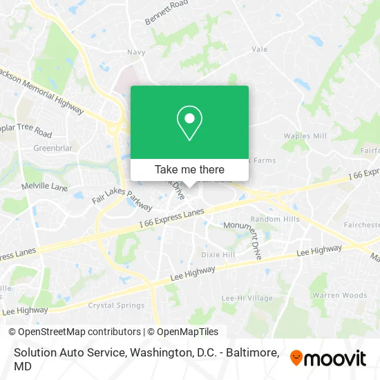
See Solution Auto Service, Fairfax County, on the map
Public Transit to Solution Auto Service in Fairfax County
Wondering how to get to Solution Auto Service in Fairfax County? Moovit helps you find the best way to get to Solution Auto Service with step-by-step directions from the nearest public transit station.
Moovit provides free maps and live directions to help you navigate through your city. View schedules, routes, timetables, and find out how long does it take to get to Solution Auto Service in real time.
Looking for the nearest stop or station to Solution Auto Service? Check out this list of stops closest to your destination: Legato Rd @ Halsted St; Monument Dr @ West Ox; Monument Dr @ Polo Dr; Fair Lakes Pkwy+Legato Rd; Fair Lakes Pkwy @ Legato Rd.
Bus: 605, 630, 651, 671, 622, 670, 672, F60, F61.
Want to see if there’s another route that gets you there at an earlier time? Moovit helps you find alternative routes or times. Get directions from and directions to Solution Auto Service easily from the Moovit App or Website.
We make riding to Solution Auto Service easy, which is why over 1.5 million users, including users in Fairfax County, trust Moovit as the best app for public transit. You don’t need to download an individual bus app or train app, Moovit is your all-in-one transit app that helps you find the best bus time or train time available.
For information on prices of bus, costs and ride fares to Solution Auto Service, please check the Moovit app.
Use the app to navigate to popular places including to the airport, hospital, stadium, grocery store, mall, coffee shop, school, college, and university.
Solution Auto Service Address: Tribune St Fairfax, VA 22033 street in Fairfax County
- Center Point Home Owners Association,
- VMD,
- Stanley Martin Homes at Park at Fair Oaks,
- Stephen Bacci Loandepot,
- Afcea International,
- Fairfax County Herrity Building Parking Garage,
- Reeselaw,
- First Horizon Bank,
- Chris Allen - Tiaa Bank,
- Kemper National Insurance Companies,
- Blink Charging,
- Shuster Piano Serv,
- Information Innovators,
- Manex Remodeling,
- Washington Immigration Law,
- Family Owned Locksmith Fairfax,
- Oscar Busch,
- The Eastham Group,
- Transcendent Wealth,
- TTR Digital Marketing
Places Near Solution Auto Service (Fairfax County)
- National Museum of African American History and Culture, Washington,
- Washington DC VA Medical Center, Washington,
- Capital One Arena, Washington,
- National Mall, Washington,
- Amazon Hq2, Arlington County,
- PG Mall, Prince George's County,
- M&T Bank Stadium, Baltimore,
- Georgetown, Washington,
- Marriott Marquis Washington, DC, Washington,
- Warner Theatre, Washington,
- The Anthem, Washington,
- Pennsylvania Ave NW (3rd st and pennsylvania), Washington,
- Sibley Memorial Hospital, Washington,
- Museum Of The Bible, Washington,
- Washington National Cathedral, Washington,
- Camden Yards, Baltimore,
- Westfield Montgomery Mall, Montgomery County,
- Rock Creek Tennis Center, Washington,
- Basilica of the National Shrine, Washington,
- National Zoo, Washington
How to get to popular places in Washington, D.C. - Baltimore, MD with public transit
Get around Fairfax County by public transit!
Traveling around Fairfax County has never been so easy. See step by step directions as you travel to any attraction, street or major public transit station. View bus and train schedules, arrival times, service alerts and detailed routes on a map, so you know exactly how to get to anywhere in Fairfax County.
When traveling to any destination around Fairfax County use Moovit's Live Directions with Get Off Notifications to know exactly where and how far to walk, how long to wait for your line, and how many stops are left. Moovit will alert you when it's time to get off — no need to constantly re-check whether yours is the next stop.
Wondering how to use public transit in Fairfax County or how to pay for public transit in Fairfax County? Moovit public transit app can help you navigate your way with public transit easily, and at minimum cost. It includes public transit fees, ticket prices, and costs. Looking for a map of Fairfax County public transit lines? Moovit public transit app shows all public transit maps in Fairfax County with all Bus, Train, Metro, Light Rail and Ferry routes and stops on an interactive map.
Washington, D.C. - Baltimore, MD has 5 transit type(s), including: Bus, Train, Metro, Light Rail and Ferry, operated by several transit agencies, including WMATA, Montgomery County Ride On, Fairfax Connector, TheBus, PRTC, DASH - Alexandria, Arlington Transit (ART), RTA of Central Maryland, MDOT MTA, MDOT MTA Light RailLink, MDOT MTA Commuter Bus, MDOT MTA Local Bus, FXBGO!, Virginia Railway Express (VRE) and MARC