Bus stop near Soregor in Rouen
- Place Neustadt, 3 min walk,VIEW
Bus lines to Soregor in Rouen
- Le Materrazzi,
- Latitude,
- Le Vincennes,
- La Maison De La Tripe,
- Église Romane,
- Au Pain Délice,
- Optic 2000,
- Cic,
- Nature Zen,
- Mil Et 1 Cadeaux,
- Église Notre-Dame-De-L'Assomption,
- Pharmacie Centrale Fertoise,
- Monument Aux Morts,
- Au Péché Mignon,
- L'Espérance,
- Boeuf Blond,
- La Coupole,
- La Saveur Du Bon Pain,
- La Ville Reconnaissante,
- Vidal Ha Ricouard (Scm)
Places Near Soregor (Rouen)
- Hôpital Charles Nicolle, Rouen,
- Station Saint-Sever, Rouen,
- Docks 76, Rouen,
- Le Petit Quevilly, Le Petit-Quevilly,
- Université de Rouen, Mont-Saint-Aignan,
- Jardin Des Plantes, Rouen,
- Théâtre des Arts [T1,T2,T3,8,20], Rouen,
- Hyper U, Le Grand-Quevilly,
- clinique de l'europe, Rouen,
- Clinique Du Cèdre, Bois-Guillaume,
- Centre Henri Becquerel, Rouen,
- Clinique Saint-Hilaire, Rouen,
- CHU Rouen, Rouen,
- Centre Commercial Du Bois Cani, Le Grand-Quevilly,
- Gare De Rouen, Rouen,
- Centre Commercial Saint-Sever, Rouen,
- Saint-Hilaire, Rouen,
- Consultation Clinique St Hilaire, Rouen,
- Foire St Romain, Rouen,
- Zénith de Rouen, Le Grand-Quevilly
How to get to popular places in Rouen with public transit
What are the closest stations to Soregor?
The closest stations to Soregor are:
- Place Neustadt is 219 meters away, 3 min walk.
Which bus line stops near Soregor?
403 (Bourg)
What’s the nearest bus station to Soregor in Rouen?
The nearest bus station to Soregor in Rouen is Place Neustadt. It’s a 3 min walk away.
What time is the first bus to Soregor in Rouen?
The 404 is the first bus that goes to Soregor in Rouen. It stops nearby at 6:21 AM.
What time is the last bus to Soregor in Rouen?
The 423 is the last bus that goes to Soregor in Rouen. It stops nearby at 10:33 PM.
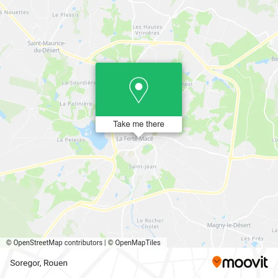
See Soregor, Rouen, on the map
Public Transit to Soregor in Rouen
Wondering how to get to Soregor in Rouen? Moovit helps you find the best way to get to Soregor with step-by-step directions from the nearest public transit station.
Moovit provides free maps and live directions to help you navigate through your city. View schedules, routes, timetables, and find out how long does it take to get to Soregor in real time.
Looking for the nearest stop or station to Soregor? Check out this list of stops closest to your destination: Place Neustadt.
Bus: 403, 404, 405, 407, 423.
Want to see if there’s another route that gets you there at an earlier time? Moovit helps you find alternative routes or times. Get directions from and directions to Soregor easily from the Moovit App or Website.
We make riding to Soregor easy, which is why over 1.7 million users, including users in Rouen, trust Moovit as the best app for public transit. You don’t need to download an individual bus app or train app, Moovit is your all-in-one transit app that helps you find the best bus time or train time available.
For information on prices of bus and train, costs and ride fares to Soregor, please check the Moovit app.
Use the app to navigate to popular places including to the airport, hospital, stadium, grocery store, mall, coffee shop, school, college, and university.
Soregor Address: Place du Général Leclerc street in Rouen
Get around Rouen by public transit!
Traveling around Rouen has never been so easy. See step by step directions as you travel to any attraction, street or major public transit station. View bus and train schedules, arrival times, service alerts and detailed routes on a map, so you know exactly how to get to anywhere in Rouen.
When traveling to any destination around Rouen use Moovit's Live Directions with Get Off Notifications to know exactly where and how far to walk, how long to wait for your line, and how many stops are left. Moovit will alert you when it's time to get off — no need to constantly re-check whether yours is the next stop.
Wondering how to use public transit in Rouen or how to pay for public transit in Rouen? Moovit public transit app can help you navigate your way with public transit easily, and at minimum cost. It includes public transit fees, ticket prices, and costs. Looking for a map of Rouen public transit lines? Moovit public transit app shows all public transit maps in Rouen with all Bus, Train, Metro, Light Rail, Ferry and Funicular routes and stops on an interactive map.
Rouen has 6 transit type(s), including: Bus, Train, Metro, Light Rail, Ferry and Funicular, operated by several transit agencies, including Astuce (Métropole Rouen Normandie), TWISTO, Twisto (Caen la mer), LiA (Le Havre Seine Métropole), Nomad Train (SNCF, Région Normandie), Nomad Car (Région Normandie), KEOLIS, Astrobus (Lisieux Normandie), Cap Cotentin (Cherbourg, Agglo. du Cotentin), Semo (Val-de-Reuil, Louviers, Seine Eure Agglo), Rézo'Bus (Bolbec, Lillebonne, Port-Jérôme, Caux Seine Agglo), Altobus (Communauté Urbaine d'Alençon), Deep Mob (Dieppe-Maritime), SN'go! (Vernon, Les Andelys, Seine Normandie Agglo) and Transurbain (Evreux Portes de Normandie)