How to get to South Florida Fishing Charters by bus?
Click on the bus route to see step by step directions with maps, line arrival times and updated time schedules.
From Oakland Park Boulevard & State Road 7, Fort Lauderdale
86 minFrom Central Terminal, Fort Lauderdale
48 minFrom I-95, Fort Lauderdale
73 minFrom Amazon Fulfillment Center-DMF3, Pompano Beach
71 minFrom Walmart, Fort Lauderdale
89 minFrom Butterfly World, Pompano Beach
84 minFrom Broward College North Campus Bldg. 48, Pompano Beach
59 minFrom Fort Lauderdale Florida, Fort Lauderdale
49 minFrom Cash Escorts, Fort Lauderdale
49 min
Bus stops near South Florida Fishing Charters in Pompano Beach
Train station near South Florida Fishing Charters in Pompano Beach
- Cypress Creek Station, 26 min walk,VIEW
Bus lines to South Florida Fishing Charters in Pompano Beach
What are the closest stations to South Florida Fishing Charters?
The closest stations to South Florida Fishing Charters are:
- Cypress Road/McNab Road (North) is 1026 yards away, 13 min walk.
- US 1/McNab Road - (Southeast 15th Street) is 1247 yards away, 15 min walk.
- Cypress Creek Station is 2193 yards away, 26 min walk.
Which bus lines stop near South Florida Fishing Charters?
These bus lines stop near South Florida Fishing Charters: 10, 20, 62.
What’s the nearest train station to South Florida Fishing Charters in Pompano Beach?
The nearest train station to South Florida Fishing Charters in Pompano Beach is Cypress Creek Station. It’s a 26 min walk away.
What’s the nearest bus station to South Florida Fishing Charters in Pompano Beach?
The nearest bus station to South Florida Fishing Charters in Pompano Beach is Cypress Road/McNab Road (North). It’s a 13 min walk away.
What time is the first train to South Florida Fishing Charters in Pompano Beach?
The TRIRAIL is the first train that goes to South Florida Fishing Charters in Pompano Beach. It stops nearby at 4:38 AM.
What time is the last train to South Florida Fishing Charters in Pompano Beach?
The TRIRAIL is the last train that goes to South Florida Fishing Charters in Pompano Beach. It stops nearby at 10:43 PM.
What time is the first bus to South Florida Fishing Charters in Pompano Beach?
The 20 is the first bus that goes to South Florida Fishing Charters in Pompano Beach. It stops nearby at 5:04 AM.
What time is the last bus to South Florida Fishing Charters in Pompano Beach?
The 62 is the last bus that goes to South Florida Fishing Charters in Pompano Beach. It stops nearby at 11:40 PM.
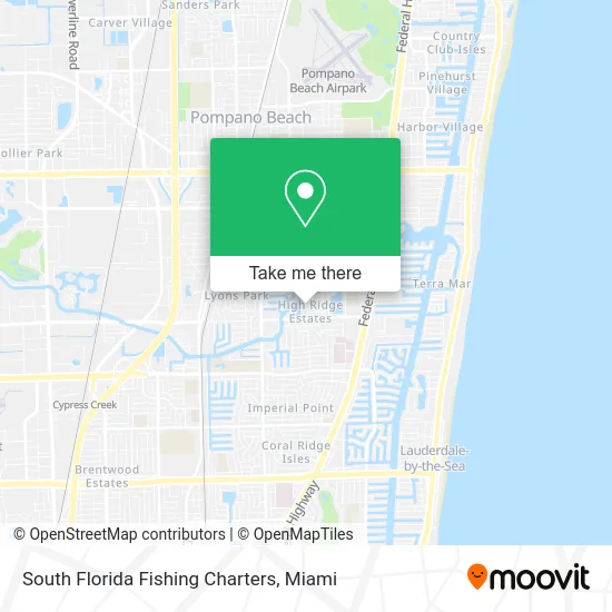
See South Florida Fishing Charters, Pompano Beach, on the map
Public Transit to South Florida Fishing Charters in Pompano Beach
Wondering how to get to South Florida Fishing Charters in Pompano Beach? Moovit helps you find the best way to get to South Florida Fishing Charters with step-by-step directions from the nearest public transit station.
Moovit provides free maps and live directions to help you navigate through your city. View schedules, routes, timetables, and find out how long does it take to get to South Florida Fishing Charters in real time.
Looking for the nearest stop or station to South Florida Fishing Charters? Check out this list of stops closest to your destination: Cypress Road/McNab Road (North); US 1/McNab Road - (Southeast 15th Street); Cypress Creek Station.
Bus: 10, 20, 62.Train: TRIRAIL.
Want to see if there’s another route that gets you there at an earlier time? Moovit helps you find alternative routes or times. Get directions from and directions to South Florida Fishing Charters easily from the Moovit App or Website.
We make riding to South Florida Fishing Charters easy, which is why over 1.5 million users, including users in Pompano Beach, trust Moovit as the best app for public transit. You don’t need to download an individual bus app or train app, Moovit is your all-in-one transit app that helps you find the best bus time or train time available.
For information on prices of bus, costs and ride fares to South Florida Fishing Charters, please check the Moovit app.
Use the app to navigate to popular places including to the airport, hospital, stadium, grocery store, mall, coffee shop, school, college, and university.
South Florida Fishing Charters Address: 1311 SE 5th Ave Pompano Beach, FL 33060 street in Pompano Beach
- Randall K Stockton DDS,
- Mike Cable,
- Amberstone Apartments,
- Powell Medical,
- Volta DPC,
- The Linden Group,
- Sheila's Hair Designs,
- Awa na Zen,
- Kidz in Motion,
- Minnesota Vikings,
- BOSCH Car Service,
- Randall L Leshln Pa,
- Steven A Smilack PA,
- McNab Plaza,
- We Insure - Don Paurowski,
- Rank Localsearch,
- Affordable Local Seo Services,
- Volts Electrical Services,
- La Vallee Allure,
- Small Beginnings Montessori
Places Near South Florida Fishing Charters (Pompano Beach)
- Sawgrass Mall, Miami,
- Miami Freedom Park, Miami,
- Dolphin Mall Bus, Miami,
- Miami Design District, Miami,
- Miami VA Hospital, Miami,
- Port of Miami Cruise Terminal, Miami,
- Keiser University Flagship Campus, West Palm Beach,
- Hard Rock Stadium, Miami Gardens,
- Aventura Mall, Miami Beach,
- Richard E. Gerstein Justice Building, Miami,
- Little Havana, Miami,
- Marlins Park, Miami,
- Miami-Dade County Courthouse, Miami,
- Sawgrass mall ( FL ), Miami Beach,
- Zoo Miami, Miami,
- Aventura Mall, Miami,
- Wynwood, Miami,
- Bayside Marketplace, Miami,
- Brickell City Centre, Miami,
- Dolphin Mall, Miami
How to get to popular places in Miami with public transit
Get around Pompano Beach by public transit!
Traveling around Pompano Beach has never been so easy. See step by step directions as you travel to any attraction, street or major public transit station. View bus and train schedules, arrival times, service alerts and detailed routes on a map, so you know exactly how to get to anywhere in Pompano Beach.
When traveling to any destination around Pompano Beach use Moovit's Live Directions with Get Off Notifications to know exactly where and how far to walk, how long to wait for your line, and how many stops are left. Moovit will alert you when it's time to get off — no need to constantly re-check whether yours is the next stop.
Wondering how to use public transit in Pompano Beach or how to pay for public transit in Pompano Beach? Moovit public transit app can help you navigate your way with public transit easily, and at minimum cost. It includes public transit fees, ticket prices, and costs. Looking for a map of Pompano Beach public transit lines? Moovit public transit app shows all public transit maps in Pompano Beach with all Bus, Train, Light Rail and Ferry routes and stops on an interactive map.
Miami has 4 transit type(s), including: Bus, Train, Light Rail and Ferry, operated by several transit agencies, including Broward County Transit, Miami-Dade Transit, Metrorail, Palm Tran, Tri-Rail, Brightline, MARTY, City of Homestead Trolley, Key West Transit, Treasure Coast Connector, GoLine IRT, Amtrak, Greyhound-us, FlixBus-us and Aventura Express Shuttle Bus