
South Quay stop - Sunday schedule
| Line | Direction | Time |
|---|---|---|
| 13 | Limerick Bus Station | 10:13 |
| 14 | Limerick Bus Station | 11:13 |
| 13 | Limerick Bus Station | 12:13 |
| 14 | Limerick Bus Station | 13:13 |
| 13 | Limerick Bus Station | 14:13 |
| 14 | Limerick Bus Station | 15:13 |
| 13 | Limerick Bus Station | 16:13 |
| 13 | Limerick Bus Station | 16:13 |
| 14 | Limerick Bus Station | 17:13 |
| 14 | Limerick Bus Station | 19:13 |
| 13 | Limerick Bus Station | 19:13 |
| 13 | Limerick Bus Station | 20:13 |
Directions to South Quay stop (Newcastle West) with public transit
The following transit lines have routes that pass near South Quay
 Bus: 13, 300, 14, 521, 593.
How to get to South Quay stop by bus?
Click on the bus route to see step-by-step directions with maps, line arrival times and updated time schedules.
Bus stops near South Quay stop in Newcastle West
- South Quay, 2 min walk,
- Bishop's Street, 6 min walk,
- Market Place, 7 min walk,
- Newcastle West, 10 min walk,
Bus lines to South Quay stop in Newcastle West
- 13, Tralee,
- 14, Killarney,
- 521, Newcastle West,
- 593, Ballyegny More,
- 722, Killarney Mission,
- 595, Tarbert,
- 321, Bus Station,
- 300, Bachelors Walk,
What are the closest stations to South Quay?
The closest stations to South Quay are:
- South Quay stop is 98 meters away, 2 min walk.
- Bishop's Street stop is 450 meters away, 6 min walk.
- Market Place stop is 507 meters away, 7 min walk.
- Newcastle West stop is 745 meters away, 10 min walk.
Which bus lines stop near South Quay?
These bus lines stop near South Quay: 13, 300.
What’s the nearest bus station to South Quay in Newcastle West?
The nearest bus station to South Quay in Newcastle West is South Quay. It’s a 2 min walk away.
What time is the first bus to South Quay in Newcastle West?
The 722 is the first bus that goes to South Quay in Newcastle West. It stops nearby at 3:55 AM.
What time is the last bus to South Quay in Newcastle West?
The 300 is the last bus that goes to South Quay in Newcastle West. It stops nearby at 1:55 AM.
South Quay station
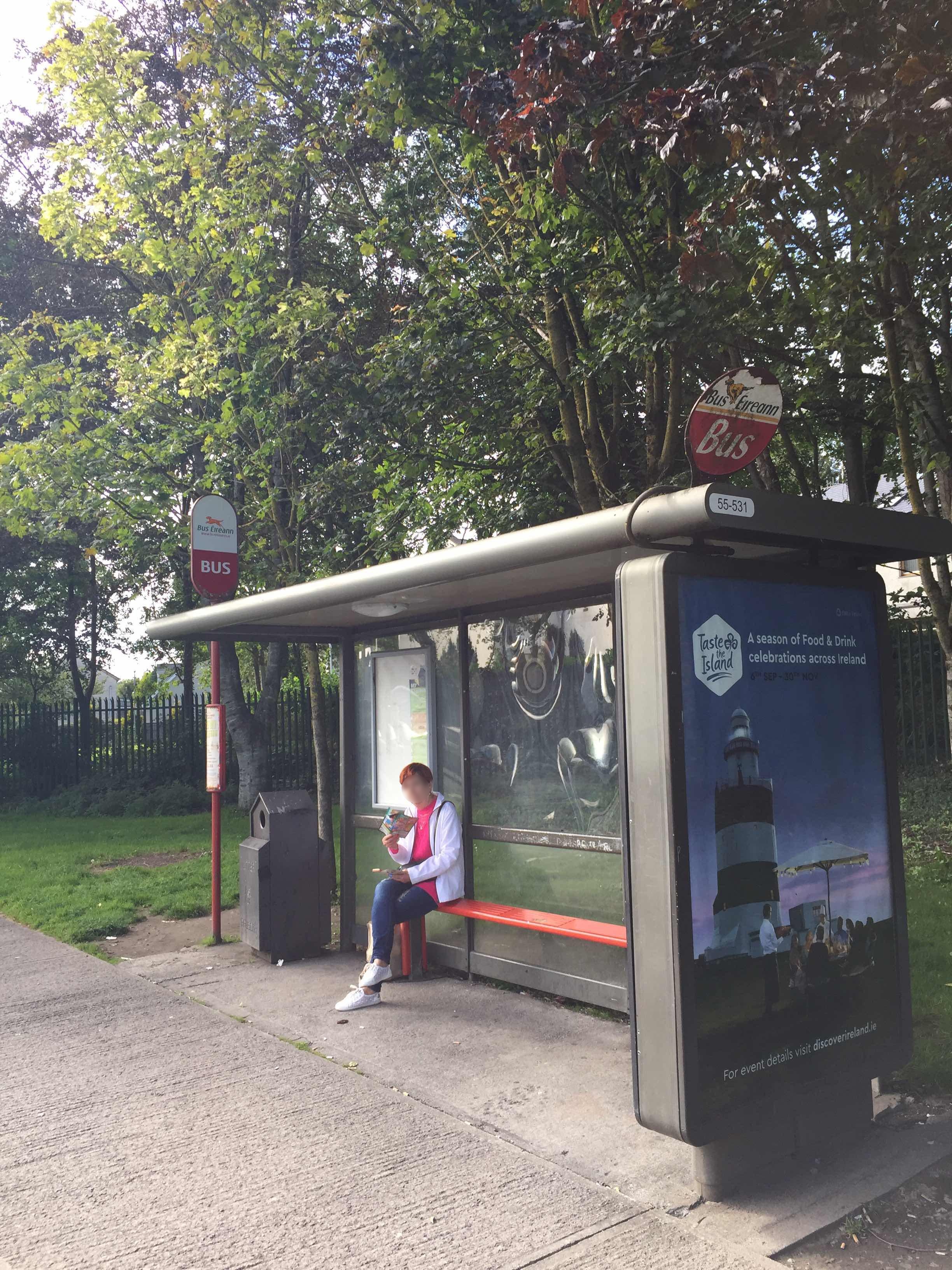 Taken by Anonymous
See South Quay stop, Newcastle West, on the map
Public transit to South Quay stop (ID: 335691) in Newcastle West
Looking for directions to South Quay in Newcastle West, Ireland?
Download the Moovit App to find the current schedule and step-by-step directions for Bus routes that pass through South Quay.
Looking for the stops closest to South Quay? Check out this list of closest stops to your destination: South Quay; Bishop's Street; Market Place; Newcastle West.
Bus: 13, 300, 14, 521, 593, 722, 595, 321.
We make riding on public transit to South Quay easy, which is why over 1.7 billion users, including users in Newcastle West, trust Moovit as the best app for public transit.
Use the app to navigate to popular places including to the airport, hospital, stadium, grocery store, mall, coffee shop, school, college, and university.
South Quay stop’s code is 335691
The first line to this stop is 13, at 10:13, and the last line is 13 at 20:13.
This stop serves Bus Éireann’s lines
- South Quay,
- Bishop's Street,
- Market Place,
- Newcastle West
Bus stops near South Quay stop
- Ucc Brookfield,
- Greystones, Church Road,
- Tymon Park,
- Mtu Bishopstown,
- Temple Vw Rise,
- Lansdowne Park,
- Mount Street Bridge,
- Ballybane Sc,
- Donnybrook Road,
- Oranmore North,
- Westport Quay,
- Lios Ealtan,
- Kill Lane,
- Corkagh Demesne,
- Hole In the Wall Rd,
- St John's Church,
- Clontarf Bths,
- Glen Easton,
- Milltown Road,
- Killarney Lane