Directions to Southeastern Cooperative Educational Programs-Sece (Norfolk) with public transportation
The following transit lines have routes that pass near Southeastern Cooperative Educational Programs-Sece
 Bus: 018, 023.
- Train: NORTHEAST REGIONAL.
How to get to Southeastern Cooperative Educational Programs-Sece by bus?
Click on the bus route to see step by step directions with maps, line arrival times and updated time schedules.
How to get to Southeastern Cooperative Educational Programs-Sece by train?
Click on the train route to see step by step directions with maps, line arrival times and updated time schedules.
Bus stops near Southeastern Cooperative Educational Programs-Sece in Norfolk
Light Rail stations near Southeastern Cooperative Educational Programs-Sece in Norfolk
- Ballentine Broad Creek Station, 31 min walk,VIEW
Train station near Southeastern Cooperative Educational Programs-Sece in Norfolk
- Norfolk Station, 48 min walk,VIEW
Bus lines to Southeastern Cooperative Educational Programs-Sece in Norfolk
What are the closest stations to Southeastern Cooperative Educational Programs-Sece?
The closest stations to Southeastern Cooperative Educational Programs-Sece are:
- Ballentine & Mclemore is 124 yards away, 2 min walk.
- Princess Anne & Ballentine is 667 yards away, 9 min walk.
- Ballentine Broad Creek Station is 2577 yards away, 31 min walk.
- Norfolk Station is 4081 yards away, 48 min walk.
Which bus lines stop near Southeastern Cooperative Educational Programs-Sece?
These bus lines stop near Southeastern Cooperative Educational Programs-Sece: 018, 023.
Which train line stops near Southeastern Cooperative Educational Programs-Sece?
NORTHEAST REGIONAL (Norfolk)
What’s the nearest bus station to Southeastern Cooperative Educational Programs-Sece in Norfolk?
The nearest bus station to Southeastern Cooperative Educational Programs-Sece in Norfolk is Ballentine & Mclemore. It’s a 2 min walk away.
What time is the first light rail to Southeastern Cooperative Educational Programs-Sece in Norfolk?
The 800 is the first light rail that goes to Southeastern Cooperative Educational Programs-Sece in Norfolk. It stops nearby at 5:32 AM.
What time is the last light rail to Southeastern Cooperative Educational Programs-Sece in Norfolk?
The 800 is the last light rail that goes to Southeastern Cooperative Educational Programs-Sece in Norfolk. It stops nearby at 11:49 PM.
What time is the first train to Southeastern Cooperative Educational Programs-Sece in Norfolk?
The NORTHEAST REGIONAL is the first train that goes to Southeastern Cooperative Educational Programs-Sece in Norfolk. It stops nearby at 8:59 AM.
What time is the last train to Southeastern Cooperative Educational Programs-Sece in Norfolk?
The NORTHEAST REGIONAL is the last train that goes to Southeastern Cooperative Educational Programs-Sece in Norfolk. It stops nearby at 10:43 PM.
What time is the first bus to Southeastern Cooperative Educational Programs-Sece in Norfolk?
The 023 is the first bus that goes to Southeastern Cooperative Educational Programs-Sece in Norfolk. It stops nearby at 5:22 AM.
What time is the last bus to Southeastern Cooperative Educational Programs-Sece in Norfolk?
The 023 is the last bus that goes to Southeastern Cooperative Educational Programs-Sece in Norfolk. It stops nearby at 1:05 AM.
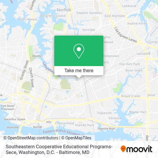
See Southeastern Cooperative Educational Programs-Sece, Norfolk, on the map
Public Transit to Southeastern Cooperative Educational Programs-Sece in Norfolk
Wondering how to get to Southeastern Cooperative Educational Programs-Sece in Norfolk? Moovit helps you find the best way to get to Southeastern Cooperative Educational Programs-Sece with step-by-step directions from the nearest public transit station.
Moovit provides free maps and live directions to help you navigate through your city. View schedules, routes, timetables, and find out how long does it take to get to Southeastern Cooperative Educational Programs-Sece in real time.
Looking for the nearest stop or station to Southeastern Cooperative Educational Programs-Sece? Check out this list of stops closest to your destination: Ballentine & Mclemore; Princess Anne & Ballentine; Ballentine Broad Creek Station; Norfolk Station.
Bus: 018, 023.Train: NORTHEAST REGIONAL.
Want to see if there’s another route that gets you there at an earlier time? Moovit helps you find alternative routes or times. Get directions from and directions to Southeastern Cooperative Educational Programs-Sece easily from the Moovit App or Website.
We make riding to Southeastern Cooperative Educational Programs-Sece easy, which is why over 1.5 million users, including users in Norfolk, trust Moovit as the best app for public transit. You don’t need to download an individual bus app or train app, Moovit is your all-in-one transit app that helps you find the best bus time or train time available.
For information on prices of bus and train, costs and ride fares to Southeastern Cooperative Educational Programs-Sece, please check the Moovit app.
Use the app to navigate to popular places including to the airport, hospital, stadium, grocery store, mall, coffee shop, school, college, and university.
Southeastern Cooperative Educational Programs-Sece Address: 2415 Ballentine Blvd Norfolk, VA 23509 street in Norfolk
- Ballentine Park,
- Ballentine Re-Ed School,
- Ballentine School,
- Ballentine Manor,
- Affordable Towing & Recovery of Norfolk,
- Beck Roofing,
- Virtexco,
- E&J Elite Design & Build Company,
- John Morris, John,
- E.G. Middleton / Lake Erie Electric,
- Moj Hope House,
- Kingdom Minded Christian Center,
- Karen Fox Contracting,
- Virginia Carolina Steele,
- New Horizon Ministries,
- Advanced Integrated Technologies,
- Surge Force,
- Ait,
- Facility Maintenance,
- Recreation-Parks and General Service
Places Near Southeastern Cooperative Educational Programs-Sece (Norfolk)
- Westfield Montgomery Mall, Montgomery County,
- Amazon Hq2, Arlington County,
- National Museum of African American History and Culture, Washington,
- M&T Bank Stadium, Baltimore,
- Georgetown, Washington,
- Warner Theatre, Washington,
- Sibley Memorial Hospital, Washington,
- Basilica of the National Shrine, Washington,
- Rock Creek Tennis Center, Washington,
- Camden Yards, Baltimore,
- Museum Of The Bible, Washington,
- National Zoo, Washington,
- Washington DC VA Medical Center, Washington,
- PG Mall, Prince George's County,
- Capital One Arena, Washington,
- The Anthem, Washington,
- National Mall, Washington,
- Marriott Marquis Washington, DC, Washington,
- Pennsylvania Ave NW (3rd st and pennsylvania), Washington,
- Washington National Cathedral, Washington
How to get to popular places in Washington, D.C. - Baltimore, MD with public transit
Get around Norfolk by public transit!
Traveling around Norfolk has never been so easy. See step by step directions as you travel to any attraction, street or major public transit station. View bus and train schedules, arrival times, service alerts and detailed routes on a map, so you know exactly how to get to anywhere in Norfolk.
When traveling to any destination around Norfolk use Moovit's Live Directions with Get Off Notifications to know exactly where and how far to walk, how long to wait for your line, and how many stops are left. Moovit will alert you when it's time to get off — no need to constantly re-check whether yours is the next stop.
Wondering how to use public transit in Norfolk or how to pay for public transit in Norfolk? Moovit public transit app can help you navigate your way with public transit easily, and at minimum cost. It includes public transit fees, ticket prices, and costs. Looking for a map of Norfolk public transit lines? Moovit public transit app shows all public transit maps in Norfolk with all Bus, Train, Metro, Light Rail and Ferry routes and stops on an interactive map.
Washington, D.C. - Baltimore, MD has 5 transit type(s), including: Bus, Train, Metro, Light Rail and Ferry, operated by several transit agencies, including WMATA, Montgomery County Ride On, Fairfax Connector, TheBus, PRTC, DASH - Alexandria, Arlington Transit (ART), RTA of Central Maryland, MDOT MTA, MDOT MTA Light RailLink, MDOT MTA Commuter Bus, MDOT MTA Local Bus, FXBGO!, Virginia Railway Express (VRE) and MARC