Directions to Southern Inn (Lexington) with public transportation
The following transit lines have routes that pass near Southern Inn
 Bus: VIRGINIA BREEZE, MAURY EXPRESS.
How to get to Southern Inn by bus?
Click on the bus route to see step by step directions with maps, line arrival times and updated time schedules.
From Manassas, VA, Manassas
373 minFrom I-95 Exit 158: Prince William Pkwy, Prince William County
372 minFrom The Cheesecake Factory, Fairfax County
334 minFrom Centreville, VA, Fairfax County
333 minFrom Walmart Supercenter, Fairfax County
377 minFrom Wegmans, Prince William County
425 minFrom IKEA, Prince William County
412 minFrom Herndon, Virginia, Fairfax County
314 minFrom Dumfries, VA, Prince William County
402 min
Bus stop near Southern Inn in Lexington
- Kroger, 3 min walk,VIEW
Bus lines to Southern Inn in Lexington
- MAURY EXPRESS, Lexington,VIEW
What are the closest stations to Southern Inn?
The closest stations to Southern Inn are:
- Kroger is 162 yards away, 3 min walk.
Which bus line stops near Southern Inn?
VIRGINIA BREEZE
What’s the nearest bus station to Southern Inn in Lexington?
The nearest bus station to Southern Inn in Lexington is Kroger. It’s a 3 min walk away.
What time is the first bus to Southern Inn in Lexington?
The MAURY EXPRESS is the first bus that goes to Southern Inn in Lexington. It stops nearby at 8:05 AM.
What time is the last bus to Southern Inn in Lexington?
The MAURY EXPRESS is the last bus that goes to Southern Inn in Lexington. It stops nearby at 5:55 PM.
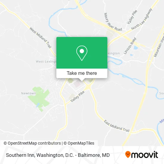
See Southern Inn, Lexington, on the map
Public Transit to Southern Inn in Lexington
Wondering how to get to Southern Inn in Lexington? Moovit helps you find the best way to get to Southern Inn with step-by-step directions from the nearest public transit station.
Moovit provides free maps and live directions to help you navigate through your city. View schedules, routes, timetables, and find out how long does it take to get to Southern Inn in real time.
Looking for the nearest stop or station to Southern Inn? Check out this list of stops closest to your destination: Kroger.
Bus: VIRGINIA BREEZE, MAURY EXPRESS.
Want to see if there’s another route that gets you there at an earlier time? Moovit helps you find alternative routes or times. Get directions from and directions to Southern Inn easily from the Moovit App or Website.
We make riding to Southern Inn easy, which is why over 1.5 million users, including users in Lexington, trust Moovit as the best app for public transit. You don’t need to download an individual bus app or train app, Moovit is your all-in-one transit app that helps you find the best bus time or train time available.
For information on prices of bus, metro and train, costs and ride fares to Southern Inn, please check the Moovit app.
Use the app to navigate to popular places including to the airport, hospital, stadium, grocery store, mall, coffee shop, school, college, and university.
Southern Inn Address: 465 E Nelson St Lexington, VA 24450 street in Lexington
- Sunrise Diner,
- Beameupbbq and Cafe,
- Rockbridge Community Church of the Nazarene,
- Fitness Your Way,
- Beameup BBQ & Cafe,
- Curves,
- Cook Out,
- State Liquor Store,
- Virginia ABC,
- Alcoholic Beverage Control Dept,
- Cookout Lynchburg,VA,
- Valley Pawn,
- Discipleship Baptist Church,
- Pack and Mail,
- The Lexington Pancake House,
- Alcohol Beverage Control,
- Advance Auto Parts,
- Prime Time,
- Hampton Inn,
- EvGateway
Places Near Southern Inn (Lexington)
- Georgetown, Washington,
- Museum Of The Bible, Washington,
- Marriott Marquis Washington, DC, Washington,
- The Anthem, Washington,
- Pennsylvania Ave NW (3rd st and pennsylvania), Washington,
- Amazon Hq2, Arlington County,
- National Zoo, Washington,
- PG Mall, Prince George's County,
- National Mall, Washington,
- Camden Yards, Baltimore,
- Rock Creek Tennis Center, Washington,
- Sibley Memorial Hospital, Washington,
- Basilica of the National Shrine, Washington,
- Washington DC VA Medical Center, Washington,
- Westfield Montgomery Mall, Montgomery County,
- Capital One Arena, Washington,
- Washington National Cathedral, Washington,
- Warner Theatre, Washington,
- National Museum of African American History and Culture, Washington,
- M&T Bank Stadium, Baltimore
How to get to popular places in Washington, D.C. - Baltimore, MD with public transit
Get around Lexington by public transit!
Traveling around Lexington has never been so easy. See step by step directions as you travel to any attraction, street or major public transit station. View bus and train schedules, arrival times, service alerts and detailed routes on a map, so you know exactly how to get to anywhere in Lexington.
When traveling to any destination around Lexington use Moovit's Live Directions with Get Off Notifications to know exactly where and how far to walk, how long to wait for your line, and how many stops are left. Moovit will alert you when it's time to get off — no need to constantly re-check whether yours is the next stop.
Wondering how to use public transit in Lexington or how to pay for public transit in Lexington? Moovit public transit app can help you navigate your way with public transit easily, and at minimum cost. It includes public transit fees, ticket prices, and costs. Looking for a map of Lexington public transit lines? Moovit public transit app shows all public transit maps in Lexington with all Bus, Train, Metro, Light Rail and Ferry routes and stops on an interactive map.
Washington, D.C. - Baltimore, MD has 5 transit type(s), including: Bus, Train, Metro, Light Rail and Ferry, operated by several transit agencies, including WMATA, Montgomery County Ride On, Fairfax Connector, TheBus, PRTC, DASH - Alexandria, Arlington Transit (ART), RTA of Central Maryland, MDOT MTA, MDOT MTA Light RailLink, MDOT MTA Commuter Bus, MDOT MTA Local Bus, FXBGO!, Virginia Railway Express (VRE) and MARC