Directions to Southern World Development Inc (Cape Coral) with public transportation
The following transit lines have routes that pass near Southern World Development Inc
 Bus: 40.
How to get to Southern World Development Inc by bus?
Click on the bus route to see step by step directions with maps, line arrival times and updated time schedules.
From STARBUCKS, Cape Coral
43 minFrom Lockhart Christine L, Fort Myers
104 minFrom Love To Shop Etc, Cape Coral
77 minFrom Anthony Faiella Pressure Cleaning, North Fort Myers
83 minFrom Fortis Aluminum Steel, Fort Myers
95 minFrom David Mccreary's House, Cape Coral
30 minFrom Cape Coral Rentals, Cape Coral
62 minFrom Cherie Vet, Fort Myers
104 minFrom Cheolita Jams and Salsas, Fort Myers
104 minFrom Mozzarella Puglia Pasta, Fort Myers
104 min
Bus stop near Southern World Development Inc in Cape Coral
- Santa Barb Blvd @ Nicholas Pkwy-Eb, 3 min walk,VIEW
Bus lines to Southern World Development Inc in Cape Coral
- 40, Cape Coral Transfer Center,VIEW
What are the closest stations to Southern World Development Inc?
The closest stations to Southern World Development Inc are:
- Santa Barb Blvd @ Nicholas Pkwy-Eb is 211 yards away, 3 min walk.
Which bus line stops near Southern World Development Inc?
40 (Coralwood Mall @ SE 22nd Ln→Cape Coral Transfer Center)
What’s the nearest bus station to Southern World Development Inc in Cape Coral?
The nearest bus station to Southern World Development Inc in Cape Coral is Santa Barb Blvd @ Nicholas Pkwy-Eb. It’s a 3 min walk away.
What time is the first bus to Southern World Development Inc in Cape Coral?
The 40 is the first bus that goes to Southern World Development Inc in Cape Coral. It stops nearby at 6:02 AM.
What time is the last bus to Southern World Development Inc in Cape Coral?
The 40 is the last bus that goes to Southern World Development Inc in Cape Coral. It stops nearby at 8:28 PM.
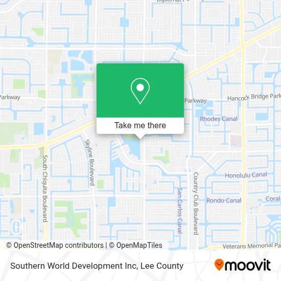
See Southern World Development Inc, Cape Coral, on the map
Public Transit to Southern World Development Inc in Cape Coral
Wondering how to get to Southern World Development Inc in Cape Coral? Moovit helps you find the best way to get to Southern World Development Inc with step-by-step directions from the nearest public transit station.
Moovit provides free maps and live directions to help you navigate through your city. View schedules, routes, timetables, and find out how long does it take to get to Southern World Development Inc in real time.
Looking for the nearest stop or station to Southern World Development Inc? Check out this list of stops closest to your destination: Santa Barb Blvd @ Nicholas Pkwy-Eb.
Bus: 40.
Want to see if there’s another route that gets you there at an earlier time? Moovit helps you find alternative routes or times. Get directions from and directions to Southern World Development Inc easily from the Moovit App or Website.
We make riding to Southern World Development Inc easy, which is why over 1.5 million users, including users in Cape Coral, trust Moovit as the best app for public transit. You don’t need to download an individual bus app or train app, Moovit is your all-in-one transit app that helps you find the best bus time or train time available.
For information on prices of bus, costs and ride fares to Southern World Development Inc, please check the Moovit app.
Use the app to navigate to popular places including to the airport, hospital, stadium, grocery store, mall, coffee shop, school, college, and university.
Southern World Development Inc Address: 618 SW Santa Barbara Pl street in Cape Coral
- Marzia Rivera, Broker Island Rental Fla,
- Samarz Lake House,
- Paradise Home Showcase,
- Sun Splash Family Waterpark,
- Chef's in Progress,
- Cape Coral Christian School,
- A Little Piece of Paradise,
- Lake Kennedy Racquet Center,
- Chardan,
- Happies,
- Faith Generation,
- Ericko,
- Tasharra Dillard,
- Coastal Shutters and Windows,
- Signs of Life Community Church,
- Coastal Homes & Rentals,
- American Mastercraft,
- 605 SE 2nd Pl,
- Riley Plumbing,
- Mid Cape Global Academy
Places Near Southern World Development Inc (Cape Coral)
- Bonita Beach, Bonita Springs,
- Rosa Parks Transportation Center, Fort Myers,
- Lehigh Acres, FL, Lehigh Acres,
- Walmart Supercenter, Fort Myers,
- Pelican Landing Beach Shuttle, Bonita Springs,
- Amazon Warehouse Rsw5,
- Edison Mall, Fort Myers,
- I-75 & Colonial (Exit 136), Fort Myers,
- Miromar Outlets, Estero,
- Lee County Tax Collector, Cape Coral,
- Bonita Springs, FL, Bonita Springs,
- U.S.-41 / Colonial Blvd. Intersection, Fort Myers,
- Matlacha Nude Beach, Matlacha Isles-Matlacha Shores,
- Ft Myers Airport RSW,
- I-75 & MLK (Exit 138), Fort Myers,
- Bonita Bay Private Beach Club, Bonita Springs,
- Seminole Casino Hotel Immokalee,
- US-41, Fort Myers,
- Flixbus, Fort Myers,
- All About U Naples Escorts, Pine Ridge
How to get to popular places in Lee County with public transit
Get around Cape Coral by public transit!
Traveling around Cape Coral has never been so easy. See step by step directions as you travel to any attraction, street or major public transit station. View bus and train schedules, arrival times, service alerts and detailed routes on a map, so you know exactly how to get to anywhere in Cape Coral.
When traveling to any destination around Cape Coral use Moovit's Live Directions with Get Off Notifications to know exactly where and how far to walk, how long to wait for your line, and how many stops are left. Moovit will alert you when it's time to get off — no need to constantly re-check whether yours is the next stop.
Wondering how to use public transit in Cape Coral or how to pay for public transit in Cape Coral? Moovit public transit app can help you navigate your way with public transit easily, and at minimum cost. It includes public transit fees, ticket prices, and costs. Looking for a map of Cape Coral public transit lines? Moovit public transit app shows all public transit maps in Cape Coral with all bus routes and stops on an interactive map.
Lee County has 1 transit type(s), including: bus, operated by several transit agencies, including LeeTran, CAT and FlixBus-us