Spadina station - Friday schedule
| Line | Direction | Time |
|---|---|---|
| KI | Eastbound | 5:53 AM |
| KI | Eastbound | 5:58 AM |
| KI | Eastbound | 6:03 AM |
| KI | Westbound | 6:03 AM |
| KI | Eastbound | 6:06 AM |
| KI | Eastbound | 6:08 AM |
| KI | Eastbound | 6:09 AM |
| KI | Westbound | 6:09 AM |
| KI | Westbound | 6:12 AM |
| KI | Eastbound | 6:12 AM |
| KI | Eastbound | 6:12 AM |
| KI | Eastbound | 6:15 AM |
| KI | Westbound | 6:15 AM |
| KI | Westbound | 6:16 AM |
| KI | Eastbound | 6:17 AM |
| KI | Eastbound | 6:18 AM |
| KI | Westbound | 6:21 AM |
| KI | Eastbound | 6:21 AM |
| KI | Westbound | 6:21 AM |
| KI | Eastbound | 6:22 AM |
| KI | Eastbound | 6:24 AM |
| KI | Westbound | 6:25 AM |
| KI | Westbound | 6:26 AM |
| KI | Eastbound | 6:26 AM |
| KI | Eastbound | 6:27 AM |
Directions to Spadina station (Toronto) with public transit
The following transit lines have routes that pass near Spadina
 Bus: 127, 13A, 19, 7, 300A.
- Subway: 1, 2.
How to get to Spadina station by bus?
Click on the bus route to see step by step directions with maps, line arrival times and updated time schedules.
How to get to Spadina station by subway?
Click on the subway route to see step by step directions with maps, line arrival times and updated time schedules.
Bus stops near Spadina stop in Toronto
- Bloor St West at Brunswick Ave, 4 min walk,
- Spadina Rd at Bernard Ave South Side, 5 min walk,
- Harbord St at Spadina Ave, 6 min walk,
- Bloor St West at Bedford Rd West Side, 6 min walk,
- St George Station at Bus Bay 2, 8 min walk,
Streetcar stations near Spadina station in Toronto
- Spadina Ave at Sussex Ave, 4 min walk,
Bus lines to Spadina station in Toronto
- 300A, West - 300a Bloor-Danforth Towards Pearson Airport Via Kipling Stn,
- 300B, East - 300b Bloor-Danforth Towards Kennedy Station,
- 300S, West - 300s Bloor-Danforth Short Turn Towards Keele Stn,
- 127, East - 127 Davenport Towards Spadina Station,
- 94A, West - 94a Wellesley Towards Ossington Station,
- 882, Not In Service,
- 94, East - 94 Wellesley Towards Castle Frank Station,
- 26, West - 26 Dupont Towards Jane Station,
What are the closest stations to Spadina?
The closest stations to Spadina are:
- Bloor St West at Brunswick Ave stop is 279 meters away, 4 min walk.
- Spadina Ave at Sussex Ave station is 279 meters away, 4 min walk.
- Spadina Rd at Bernard Ave South Side stop is 370 meters away, 5 min walk.
- Harbord St at Spadina Ave stop is 425 meters away, 6 min walk.
- Bloor St West at Bedford Rd West Side stop is 452 meters away, 6 min walk.
- St George Station at Bus Bay 2 is 582 meters away, 8 min walk.
Which bus lines stop near Spadina?
These bus lines stop near Spadina: 127, 13A, 19, 7.
Which subway lines stop near Spadina?
These subway lines stop near Spadina: 1, 2.
What’s the nearest Streetcar station to Spadina in Toronto?
The nearest Streetcar station to Spadina in Toronto is Spadina Ave at Sussex Ave. It’s a 4 min walk away.
What’s the nearest bus station to Spadina in Toronto?
The nearest bus station to Spadina in Toronto is Bloor St West at Brunswick Ave. It’s a 4 min walk away.
What time is the first Streetcar to Spadina in Toronto?
The 310 is the first Streetcar that goes to Spadina in Toronto. It stops nearby at 3:08 AM.
What time is the last Streetcar to Spadina in Toronto?
The 310 is the last Streetcar that goes to Spadina in Toronto. It stops nearby at 3:18 AM.
What time is the first bus to Spadina in Toronto?
The 300B is the first bus that goes to Spadina in Toronto. It stops nearby at 3:00 AM.
What time is the last bus to Spadina in Toronto?
The 300A is the last bus that goes to Spadina in Toronto. It stops nearby at 3:44 AM.
What time is the first ferry to Spadina in Toronto?
The 882 is the first ferry that goes to Spadina in Toronto. It stops nearby at 5:06 AM.
What time is the last ferry to Spadina in Toronto?
The 882 is the last ferry that goes to Spadina in Toronto. It stops nearby at 2:33 AM.
Spadina station
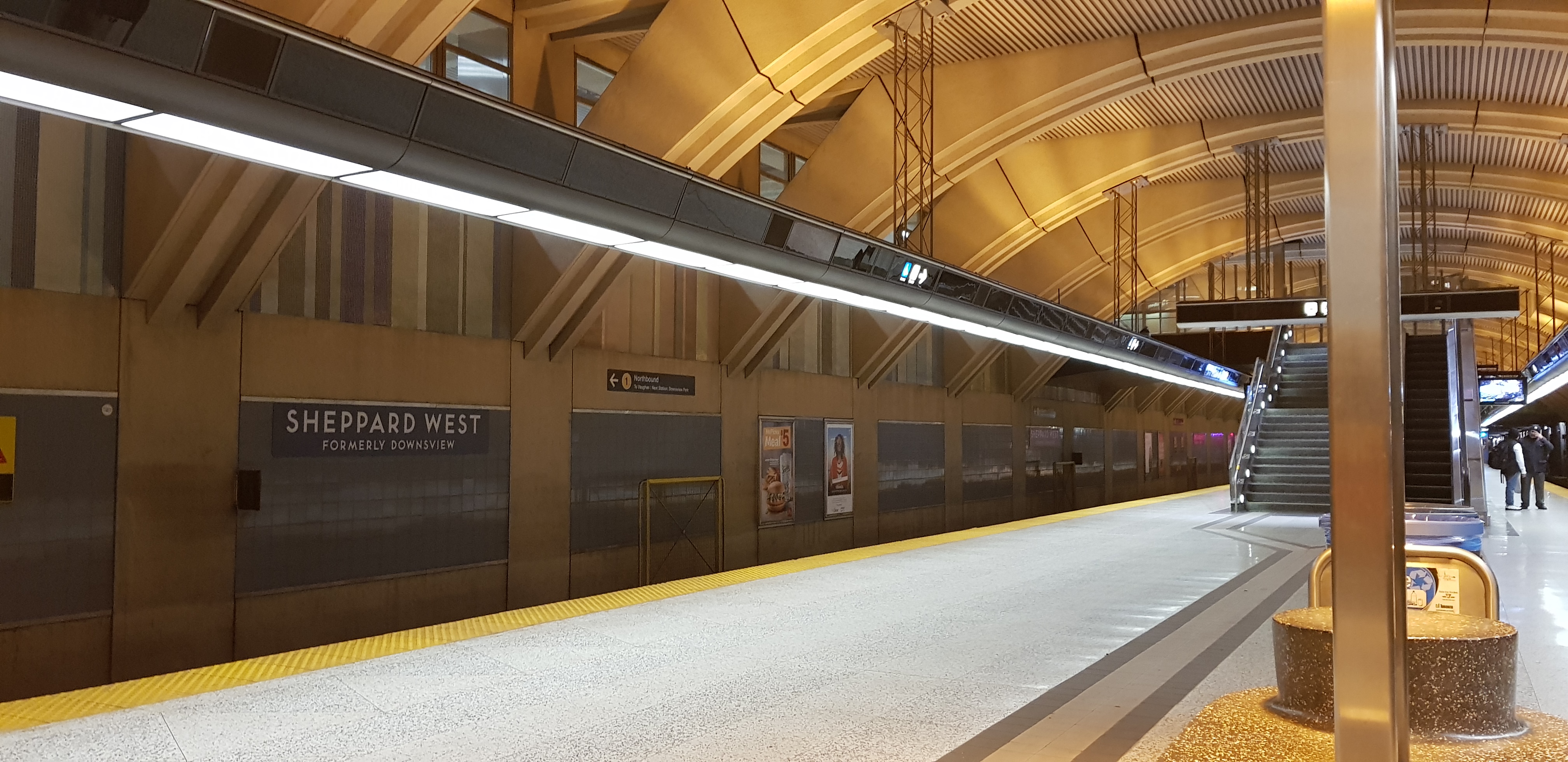 Taken by Sara R.
See Spadina station, Toronto, on the map
Public transit to Spadina station in Toronto
Looking for directions to Spadina in Toronto, Canada?
Download the Moovit App to find the current schedule and step-by-step directions for Subway, Bus or Streetcar routes that pass through Spadina.
Looking for the nearest stops closest to Spadina ? Check out this list of closest stops to your destination: Bloor St West at Brunswick Ave; Spadina Ave at Sussex Ave; Spadina Rd at Bernard Ave South Side; Harbord St at Spadina Ave; Bloor St West at Bedford Rd West Side; St George Station at Bus Bay 2.
Bus: 127, 13A, 19, 7, 300A, 300B, 300S, 94A, 882, 94, 26.Subway: 1, 2.
We make riding on public transit to Spadina easy, which is why over 1.7 billion users, including users in Toronto trust Moovit as the best app for public transit.
Use the app to navigate to popular places including to the airport, hospital, stadium, grocery store, mall, coffee shop, school, college, and university.
The station has the following entrances: Walmer Rd, Spadina Rd and Walmer Rd
The first line to this station is KI, at 5:53 AM, and the last line is KI at 2:01 AM.
7 Spadina Rd, Toronto, ON, Canada
This station serves GO Transit’s lines

Popular routes from Spadina station, Toronto
- Bloor St West at Brunswick Ave,
- Spadina Rd at Bernard Ave South Side,
- Harbord St at Spadina Ave,
- Bloor St West at Bedford Rd West Side,
- St George Station at Bus Bay 2
Bus stops near Spadina stop
- Spadina Ave at Sussex Ave
Streetcar station near Spadina station
- Cambridge Smart Centre,
- Wanless Dr & Mclaughlin Rd,
- Christie,
- Bloor St at Green Lanes,
- Hillcrest Ave at Clayhill Rd,
- Davis Dr / Superior St,
- Bronte Go,
- Dundas St West Of Dixie Rd,
- Rutherford Rd / Sweetriver Blvd,
- Hwy 407 Park And Ride,
- Burnhamthorpe Rd at Duke Of York Blvd,
- King St. E. @ Central Park Blvd.,
- Hwy 7 At Swansea Rd,
- Kipling Go,
- Aberdeen at Kent,
- Grand River Hospital Station,
- Victoria Park Ave at Van Horne Ave,
- Rouge Hill Go,
- Ontario St + Montebello Park,
- Bayview Av / Redstone Rd
Popular public transit stations in Toronto
Get around Toronto by public transit!
Traveling around Toronto has never been so easy. See step by step directions as you travel to any attraction, street or major public transit station. View bus and train schedules, arrival times, service alerts and detailed routes on a map, so you know exactly how to get to anywhere in Toronto.
When traveling to any destination around Toronto use Moovit's Live Directions with Get Off Notifications to know exactly where and how far to walk, how long to wait for your line, and how many stops are left. Moovit will alert you when it's time to get off — no need to constantly re-check whether yours is the next stop.
Wondering how to use public transit in Toronto or how to pay for public transit in Toronto? Moovit public transit app can help you navigate your way with public transit easily, and at minimum cost. It includes public transit fees, ticket prices, and costs. Looking for a map of Toronto public transit lines? Moovit public transit app shows all public transit maps in Toronto with all Bus, Train, Subway, Streetcar and Ferry routes and stops on an interactive map.
Toronto has 5 transit type(s), including: Bus, Train, Subway, Streetcar and Ferry, operated by several transit agencies, including TTC, Toronto Subway, Brampton Transit, MiWay, York Region Transit, GO Transit Bus, GO Transit, Durham Region Transit, UP Express, Grand River Transit, Guelph Transit, Hamilton Street Railway, Burlington Transit, Oakville Transit and pererborough