How to get to Speedlab by bus?
Click on the bus route to see step by step directions with maps, line arrival times and updated time schedules.
From Consulat d'Algerie, Bobigny
60 minFrom 93130, Noisy-Le-Sec
82 minFrom O'Parinor, Aulnay-Sous-Bois
39 minFrom Domus, Rosny-Sous-Bois
93 minFrom Musée de l'Air et de l'Espace, Dugny
47 minFrom Hotel Mercure Paris Cdg Airport, Roissy-En-France
53 minFrom Hôpital Avicenne, Bobigny
87 minFrom Gonesse, Gonesse
57 minFrom Rosny 2, Rosny-Sous-Bois
92 minFrom Centre Commercial Domus, Rosny-Sous-Bois
93 min
Bus stops near Speedlab in Villepinte
Bus lines to Speedlab in Villepinte
What are the closest stations to Speedlab?
The closest stations to Speedlab are:
- Espace V is 97 meters away, 2 min walk.
- Chemin du Loup is 349 meters away, 5 min walk.
- Les 4 Tours is 432 meters away, 7 min walk.
- Central Parc is 514 meters away, 8 min walk.
Which bus lines stop near Speedlab?
These bus lines stop near Speedlab: 1, 15, 45, 642, T'BUS 1.
What’s the nearest bus station to Speedlab in Villepinte?
The nearest bus station to Speedlab in Villepinte is Espace V. It’s a 2 min walk away.
What time is the first bus to Speedlab in Villepinte?
The FILÉO RS is the first bus that goes to Speedlab in Villepinte. It stops nearby at 3:19 AM.
What time is the last bus to Speedlab in Villepinte?
The N140 is the last bus that goes to Speedlab in Villepinte. It stops nearby at 2:54 AM.
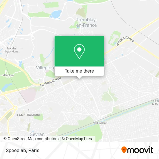
See Speedlab, Villepinte, on the map
Public Transit to Speedlab in Villepinte
Wondering how to get to Speedlab in Villepinte? Moovit helps you find the best way to get to Speedlab with step-by-step directions from the nearest public transit station.
Moovit provides free maps and live directions to help you navigate through your city. View schedules, routes, timetables, and find out how long does it take to get to Speedlab in real time.
Looking for the nearest stop or station to Speedlab? Check out this list of stops closest to your destination: Espace V; Chemin du Loup; Les 4 Tours; Central Parc.
Bus: 1, 15, 45, 642, T'BUS 1, N140, 619, FILÉO RS.
Want to see if there’s another route that gets you there at an earlier time? Moovit helps you find alternative routes or times. Get directions from and directions to Speedlab easily from the Moovit App or Website.
We make riding to Speedlab easy, which is why over 1.5 million users, including users in Villepinte, trust Moovit as the best app for public transit. You don’t need to download an individual bus app or train app, Moovit is your all-in-one transit app that helps you find the best bus time or train time available.
For information on prices of bus, RER, metro and light rail, costs and ride fares to Speedlab, please check the Moovit app.
Use the app to navigate to popular places including to the airport, hospital, stadium, grocery store, mall, coffee shop, school, college, and university.
Speedlab Address: 93420 Villepinte street in Villepinte
- Auchan SUPERMARCHE VILLEPINTE,
- Auchan Supermarché,
- Photomaton,
- Auchan Drive,
- Picadeli,
- Centre Commercial de Villepinte,
- French Cantine Villepinte I Burger I Brasserie Hallal,
- Campanile Villepinte - Parc Des Expositions,
- Atelier Nipss Association,
- Centre Commercial,
- Auchan Villepinte,
- Campanile Villepinte,
- Delibread,
- Tmv,
- Rexel,
- Autosur Villepinte,
- Côté Route Ayme,
- Hal Discount,
- Les Mousseaux Sud,
- Cefaa Villepinte - Page Officielle
Places Near Speedlab (Villepinte)
- Hôpital Saint-Joseph, Paris,
- Hôpital Pitié Salpêtrière, Paris,
- Galeries Lafayette, Paris,
- Gare Routière Flixbus, Paris,
- Hopital Lariboisière, Paris,
- Fondation Louis Vuitton, Paris,
- Centre Hospitalier des 15/20, Paris,
- Créteil Soleil, Creteil,
- Hôpital Beaujon, Clichy,
- 29 Rue Manin, Paris,
- Beaugrenelle, Paris,
- Hopital Foch, Suresnes,
- Théâtre Mogador, Paris,
- Hôpital de la Pitié-Salpêtrière, Paris,
- Marché Saint-Pierre, Paris,
- Hôpital Cochin, Paris,
- Hôpital Henri Mondor, Creteil,
- Hôpital Necker, Paris,
- Atelier Des Lumieres, Paris,
- Galeries Lafayette Haussmann, Paris
How to get to popular places in Paris with public transit
Get around Villepinte by public transit!
Traveling around Villepinte has never been so easy. See step by step directions as you travel to any attraction, street or major public transit station. View bus and train schedules, arrival times, service alerts and detailed routes on a map, so you know exactly how to get to anywhere in Villepinte.
When traveling to any destination around Villepinte use Moovit's Live Directions with Get Off Notifications to know exactly where and how far to walk, how long to wait for your line, and how many stops are left. Moovit will alert you when it's time to get off — no need to constantly re-check whether yours is the next stop.
Wondering how to use public transit in Villepinte or how to pay for public transit in Villepinte? Moovit public transit app can help you navigate your way with public transit easily, and at minimum cost. It includes public transit fees, ticket prices, and costs. Looking for a map of Villepinte public transit lines? Moovit public transit app shows all public transit maps in Villepinte with all Bus, Train, Metro, Light Rail, RER, Funicular and Gondola routes and stops on an interactive map.
Paris has 7 transit type(s), including: Bus, Train, Metro, Light Rail, RER, Funicular and Gondola, operated by several transit agencies, including RATP, RER, RER Bus de remplacement, Train, Train Bus de remplacement, Tramway Bus de remplacement, TER, ADP, Magical Shuttle, Argenteuil - Boucles de Seine, Autocars Dominique, Bièvre, Brie et 2 Morin, Le Bus - C.C. du Clermontois and Cœur d’Essonne