How to get to Splash by bus?
Click on the bus route to see step by step directions with maps, line arrival times and updated time schedules.
From Korian-Frate Sole Care Home, Figline Valdarno
253 minFrom Frate Sole Care Home, Figline Valdarno
252 minFrom Serristori Hospital, Figline and Incisa Valdarno
59 minFrom Hu Norcenni Girasole Village, Figline Valdarno
64 minFrom Gaiole In Chianti, Gaiole In Chianti
479 minFrom Rondine, Arezzo
100 minFrom Figline Valdarno, Figline Valdarno
55 minFrom Dr. Tani Alfiero, Figline Valdarno
54 minFrom Norcenni Girasole Club, Figline Valdarno
65 min
Bus stops near Splash in Arezzo
Train station near Splash in Arezzo
- Montevarchi-Terranuova, 35 min walk,VIEW
Bus lines to Splash in Arezzo
- A, Terranuova-Penna-Montemarciano-Nuova Squarcia,VIEW
- BLU, Terranuova-Campogalli-Traiana-Cicogna-Terranuova,VIEW
- D, Ville-Badiola-Treggiaia,VIEW
- E, Cicogna-Traiana-Campogialli-Ascione,VIEW
- YELLOW, Terranuova-Loro-Malva-San Giovanni-Ville-Terranuova,VIEW
- MIV03, Montevarchi-Terranuova-San Giovanni Valdarno,VIEW
- MIV10, Loro-Terranuova-Via Poggilupi/Via Ville-San Giovanni Valdarno,VIEW
- LAP112, San Giustino-Terranuova,VIEW
- 360 A, Montevarchi-Incisa Valdarno-Pontassieve-Florence,VIEW
- 360 B, Montevarchi-Incisa Valdarno-Pontassieve-Florence,VIEW
- C, Terranuova-Cicogna-Casti,VIEW
- VERDE, Terranuova-Hospital-Diaz-Montevarchi,VIEW
- MIV02, Terranuova-Hospital-Via della Farnia-Montevarchi,VIEW
- MIV04, Levane-Ponte Leonardo-Terranuova-Ponte Leonardo-Montevarchi,VIEW
- LAP109, Arezzo-Loro Ciuffenna,VIEW
- B, Terranuova Bracciolini Prosperi Square,VIEW
- F, Via S.Tito (Terranuova Bus Station),VIEW
What are the closest stations to Splash?
The closest stations to Splash are:
- Via S.Tito (Terranuova Bus Station) is 168 meters away, 3 min walk.
- Europa Avenue 13/A is 189 meters away, 3 min walk.
- Europa Avenue #22 is 199 meters away, 3 min walk.
- Viale Europa Opposite No.80 is 358 meters away, 5 min walk.
- Montevarchi-Terranuova is 2685 meters away, 35 min walk.
Which bus lines stop near Splash?
These bus lines stop near Splash: YELLOW, MIV10, SI330, VERDE.
What’s the nearest bus station to Splash in Arezzo?
The nearest bus stations to Splash in Arezzo are Via S.Tito (Terranuova Bus Station), Europa Avenue 13/A and Europa Avenue #22. The closest one is a 3 min walk away.
What time is the first train to Splash in Arezzo?
The R is the first train that goes to Splash in Arezzo. It stops nearby at 6:05 AM.
What time is the last train to Splash in Arezzo?
The R is the last train that goes to Splash in Arezzo. It stops nearby at 12:17 AM.
What time is the first bus to Splash in Arezzo?
The BLU is the first bus that goes to Splash in Arezzo. It stops nearby at 7:35 AM.
What time is the last bus to Splash in Arezzo?
The YELLOW is the last bus that goes to Splash in Arezzo. It stops nearby at 6:15 PM.
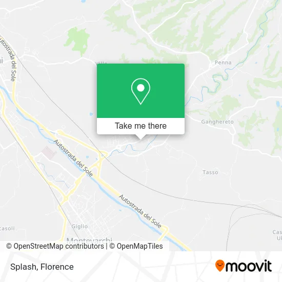
See Splash, Arezzo, on the map
Public Transit to Splash in Arezzo
Wondering how to get to Splash in Arezzo? Moovit helps you find the best way to get to Splash with step-by-step directions from the nearest public transit station.
Moovit provides free maps and live directions to help you navigate through your city. View schedules, routes, timetables, and find out how long does it take to get to Splash in real time.
Looking for the nearest stop or station to Splash? Check out this list of stops closest to your destination: Via S.Tito (Terranuova Bus Station); Europa Avenue 13/A; Europa Avenue #22; Viale Europa Opposite No.80; Montevarchi-Terranuova.
Bus: YELLOW, MIV10, SI330, VERDE, A, BLU, D, E, YELLOW, C, MIV02, MIV04, LAP109, B, F.Train: R, R.
Want to see if there’s another route that gets you there at an earlier time? Moovit helps you find alternative routes or times. Get directions from and directions to Splash easily from the Moovit App or Website.
We make riding to Splash easy, which is why over 1.5 million users, including users in Arezzo, trust Moovit as the best app for public transit. You don’t need to download an individual bus app or train app, Moovit is your all-in-one transit app that helps you find the best bus time or train time available.
For information on prices of bus and train, costs and ride fares to Splash, please check the Moovit app.
Use the app to navigate to popular places including to the airport, hospital, stadium, grocery store, mall, coffee shop, school, college, and university.
Splash Address: Via Michelangelo Buonarroti, 3 52028 Terranuova Bracciolini street in Arezzo
- Prv. of Umberto Macoschi,
- Icalo,
- Giulia Aiello,
- Amazon Counter,
- Pineta Bar,
- Nexi Payments,
- Luciano Lucaccini by Lucaccini Cristina,
- Qubilotto - Technical Associated Studio by Geom. Romano Quinti Ing. Giovan,
- Asd Terranuova Traiana,
- Hermion Group,
- Capelli For You,
- Salus Fitness Club,
- Salus Amateur Sports Association,
- Balsimelli Cristiano,
- Rigli Franco,
- Andrea Nardi Real Estate,
- Corsini Brothers,
- Beagleplug,
- Hair Klub Tb by Sereni Luciano & C.,
- EO-Service Station Donato of Pignataro Donato & C
Places Near Splash (Arezzo)
- IKEA Florence, Sesto Fiorentino,
- Visarno Hippodrome, Florence,
- Santa Maria Nuova Hospital, Florence,
- Michelangelo Square, Florence,
- Torregalli Hospital Scandicci *, Scandicci,
- Cascine Park, Florence,
- Santa Maria Novella Station, Florence,
- Tobacco Manufacture, Florence,
- Asmana, Campi Bisenzio,
- OOO, Florence,
- Mandela Forum (Nelson Mandela Forum), Florence,
- Nelson Mandela Forum, Florence,
- Field of Mars, Florence,
- Artemio Franchi Municipal Stadium, Florence,
- Visarno Arena, Florence,
- Michelangelo Square, Florence,
- Verdi Theater, Florence,
- Campi Bisenzio, Campi Bisenzio,
- Piero Palagi Hospital Facility-Florence, Florence,
- I Gigli, Campi Bisenzio
How to get to popular places in Florence with public transit
Get around Arezzo by public transit!
Traveling around Arezzo has never been so easy. See step by step directions as you travel to any attraction, street or major public transit station. View bus and train schedules, arrival times, service alerts and detailed routes on a map, so you know exactly how to get to anywhere in Arezzo.
When traveling to any destination around Arezzo use Moovit's Live Directions with Get Off Notifications to know exactly where and how far to walk, how long to wait for your line, and how many stops are left. Moovit will alert you when it's time to get off — no need to constantly re-check whether yours is the next stop.
Wondering how to use public transit in Arezzo or how to pay for public transit in Arezzo? Moovit public transit app can help you navigate your way with public transit easily, and at minimum cost. It includes public transit fees, ticket prices, and costs. Looking for a map of Arezzo public transit lines? Moovit public transit app shows all public transit maps in Arezzo with all Bus, Train, Light Rail, Ferry and Funicular routes and stops on an interactive map.
Florence has 5 transit type(s), including: Bus, Train, Light Rail, Ferry and Funicular, operated by several transit agencies, including Florence Urban - Tuscan Bus Lines, GEST, Livorno and Province - Tuscan Bus Lines, Arezzo, Florence and Provinces - Tuscan Bus Lines, Prato and Province - Tuscan Bus Lines, Lucca and Province - Tuscan Bus Lines, Massa, Carrara and Province - Tuscan Bus Lines, Pisa and Province - Tuscan Bus Lines, Grosseto, Siena and Provinces - Tuscan Bus Lines, Arezzo, Siena and Provinces - Tuscan Bus Lines, Florence and Province - Tuscan Bus Lines, Pistoia and Province - Tuscan Bus Lines, Siena and Province - Tuscan Bus Lines, Arezzo and Province - Tuscan Bus Lines and Trenitalia