How to get to Square One Market by bus?
Click on the bus route to see step by step directions with maps, line arrival times and updated time schedules.
Which bus lines stop near Square One Market?
These bus lines stop near Square One Market: 216, BLU, FAB11.
What time is the first bus to Square One Market in New York - New Jersey?
The BLU is the first bus that goes to Square One Market in New York - New Jersey. It stops nearby at 5:12 AM.
What time is the last bus to Square One Market in New York - New Jersey?
The BLU is the last bus that goes to Square One Market in New York - New Jersey. It stops nearby at 1:12 AM.
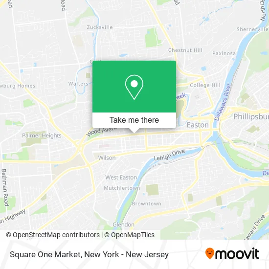
See Square One Market, New York - New Jersey, on the map
Public Transit to Square One Market in New York - New Jersey
Wondering how to get to Square One Market in New York - New Jersey? Moovit helps you find the best way to get to Square One Market with step-by-step directions from the nearest public transit station.
Moovit provides free maps and live directions to help you navigate through your city. View schedules, routes, timetables, and find out how long does it take to get to Square One Market in real time.
Bus: 216, BLU, FAB11.
Want to see if there’s another route that gets you there at an earlier time? Moovit helps you find alternative routes or times. Get directions from and directions to Square One Market easily from the Moovit App or Website.
We make riding to Square One Market easy, which is why over 1.5 million users, including users in New York - New Jersey, trust Moovit as the best app for public transit. You don’t need to download an individual bus app or train app, Moovit is your all-in-one transit app that helps you find the best bus time or train time available.
For information on prices of bus and train, costs and ride fares to Square One Market, please check the Moovit app.
Use the app to navigate to popular places including to the airport, hospital, stadium, grocery store, mall, coffee shop, school, college, and university.
Square One Market Address: 1503 Northampton St street in New York - New Jersey
- You Local Roofers,
- Plants & Coffee,
- Mystery Box Games,
- Omni Health Services,
- Life Church Easton,
- Papa John's,
- The Child Development Center of Easton,
- Proficient Physical Therapy,
- Liberty Park Apartments,
- Hampteke,
- Spring Garden St,
- Spruce St,
- Salaam Arabian Kitchen,
- Lehigh Valley Children's Centers,
- Sullivan Trail Sertoma Club,
- Lasheens,
- Fulmer Scooter City,
- Boo's Tree & Lawn Service,
- Rubeo's Towing & Recovery,
- Ortiz and Rojas Construction & Painting
Places Near Square One Market (New York - New Jersey)
- San Gennaro Feast, Manhattan,
- Wall Street, Manhattan,
- 26 Federal Plaza, Manhattan,
- SoHo, Manhattan,
- Times Square, Manhattan,
- 66 John Street, Manhattan,
- Rockefeller Center, Manhattan,
- Pier 83, Manhattan,
- 111 Centre New York City Supreme Court, Manhattan,
- 911 Memorial, Manhattan,
- Katz's Deli, Manhattan,
- Queens Center Mall, Queens,
- 3 Stone St, Manhattan,
- qqqq, Manhattan,
- 376 Hudson Street, Manhattan,
- 1 Police Plaza, Manhattan,
- Hudson Yards, Manhattan,
- Mountainside Hospital, Glen Ridge,
- Chinatown, Manhattan,
- Bellevue Hospital, Manhattan
How to get to popular places in New York - New Jersey with public transit
Get around New York - New Jersey by public transit!
Traveling around New York - New Jersey has never been so easy. See step by step directions as you travel to any attraction, street or major public transit station. View bus and train schedules, arrival times, service alerts and detailed routes on a map, so you know exactly how to get to anywhere in New York - New Jersey.
When traveling to any destination around New York - New Jersey use Moovit's Live Directions with Get Off Notifications to know exactly where and how far to walk, how long to wait for your line, and how many stops are left. Moovit will alert you when it's time to get off — no need to constantly re-check whether yours is the next stop.
Wondering how to use public transit in New York - New Jersey or how to pay for public transit in New York - New Jersey? Moovit public transit app can help you navigate your way with public transit easily, and at minimum cost. It includes public transit fees, ticket prices, and costs. Looking for a map of New York - New Jersey public transit lines? Moovit public transit app shows all public transit maps in New York - New Jersey with all Bus, Train, Subway, Light Rail, Ferry and Cable Car routes and stops on an interactive map.
New York - New Jersey has 6 transit type(s), including: Bus, Train, Subway, Light Rail, Ferry and Cable Car, operated by several transit agencies, including MTA Subway, Metro-North Railroad, LIRR, PATH, MTA New York City Transit - Express routes, MTA Bus, NJ Transit, NYC Ferry, NICE bus, Bee-Line Bus, NJ Transit Rail, Norwalk Transit District, Hartford Line, River Valley Transit and HART