St David's Terrace stop - Sunday schedule
| Line | Direction | Time |
|---|---|---|
| N2 | Clontarf Rd Stn | 7:28 AM |
| N2 | Clontarf Rd Stn | 8:33 AM |
| 37 | Blanchardstown Sc | 9:25 AM |
| N2 | Clontarf Rd Stn | 9:33 AM |
| 37 | Blanchardstown Sc | 9:58 AM |
| N2 | Clontarf Rd Stn | 10:04 AM |
| 37 | Blanchardstown Sc | 10:28 AM |
| N2 | Clontarf Rd Stn | 10:34 AM |
| 37 | Blanchardstown Sc | 10:58 AM |
| N2 | Clontarf Rd Stn | 11:05 AM |
| 37 | Blanchardstown Sc | 11:28 AM |
| N2 | Clontarf Rd Stn | 11:35 AM |
| 37 | Blanchardstown Sc | 12:03 PM |
| N2 | Clontarf Rd Stn | 12:05 PM |
| 37 | Blanchardstown Sc | 12:32 PM |
| N2 | Clontarf Rd Stn | 12:36 PM |
| 37 | Blanchardstown Sc | 1:03 PM |
| N2 | Clontarf Rd Stn | 1:06 PM |
| 37 | Blanchardstown Sc | 1:33 PM |
| N2 | Clontarf Rd Stn | 1:36 PM |
| N2 | Clontarf Rd Stn | 2:06 PM |
| 37 | Blanchardstown Sc | 2:06 PM |
| 37 | Blanchardstown Sc | 2:33 PM |
| N2 | Clontarf Rd Stn | 2:36 PM |
| 37 | Blanchardstown Sc | 3:04 PM |
Directions to St David's Terrace stop (Dublin) with public transit
The following transit lines have routes that pass near St David's Terrace
 Bus: 11, 37, N2, 11B, 39.
- Train: DART, RAIL, COMMUTER, INTERCITY.
How to get to St David's Terrace stop by bus?
Click on the bus route to see step by step directions with maps, line arrival times and updated time schedules.
How to get to St David's Terrace stop by train?
Click on the train route to see step by step directions with maps, line arrival times and updated time schedules.
Bus stops near St David's Terrace stop in Dublin
- Blackhorse Avenue, 3 min walk,
- Ellesmere Avenue, 5 min walk,
- Cabra Drive, 9 min walk,
Light Rail stations near St David's Terrace station in Dublin
- Museum, 13 min walk,
Train stations near St David's Terrace station in Dublin
- Dublin Heuston, 14 min walk,
Bus lines to St David's Terrace stop in Dublin
- 37, Bachelor's Walk,
- N2, Clontarf Rd Stn,
- 11, Sandyford B.D.,
- 11B, Phoenix Pk,
- 39, Ongar,
- 39A, Ucd,
- 70, Burlington Road,
What are the closest stations to St David's Terrace?
The closest stations to St David's Terrace are:
- Blackhorse Avenue stop is 188 meters away, 3 min walk.
- Ellesmere Avenue stop is 346 meters away, 5 min walk.
- Cabra Drive stop is 634 meters away, 9 min walk.
- Museum station is 947 meters away, 13 min walk.
- Dublin Heuston station is 1066 meters away, 14 min walk.
Which bus lines stop near St David's Terrace?
These bus lines stop near St David's Terrace: 11, 37, N2.
Which train lines stop near St David's Terrace?
These train lines stop near St David's Terrace: DART, RAIL.
What’s the nearest light rail station to St David's Terrace in Dublin?
The nearest light rail station to St David's Terrace in Dublin is Museum. It’s a 13 min walk away.
What’s the nearest train station to St David's Terrace in Dublin?
The nearest train station to St David's Terrace in Dublin is Dublin Heuston. It’s a 14 min walk away.
What’s the nearest bus station to St David's Terrace in Dublin?
The nearest bus station to St David's Terrace in Dublin is Blackhorse Avenue. It’s a 3 min walk away.
What time is the first light rail to St David's Terrace in Dublin?
The RED is the first light rail that goes to St David's Terrace in Dublin. It stops nearby at 5:45 AM.
What time is the last light rail to St David's Terrace in Dublin?
The RED is the last light rail that goes to St David's Terrace in Dublin. It stops nearby at 12:49 AM.
What time is the first train to St David's Terrace in Dublin?
The RAIL is the first train that goes to St David's Terrace in Dublin. It stops nearby at 5:45 AM.
What time is the last train to St David's Terrace in Dublin?
The COMMUTER is the last train that goes to St David's Terrace in Dublin. It stops nearby at 11:42 PM.
What time is the first bus to St David's Terrace in Dublin?
The 39A is the first bus that goes to St David's Terrace in Dublin. It stops nearby at 3:26 AM.
What time is the last bus to St David's Terrace in Dublin?
The 39A is the last bus that goes to St David's Terrace in Dublin. It stops nearby at 2:58 AM.
St David's Terrace station
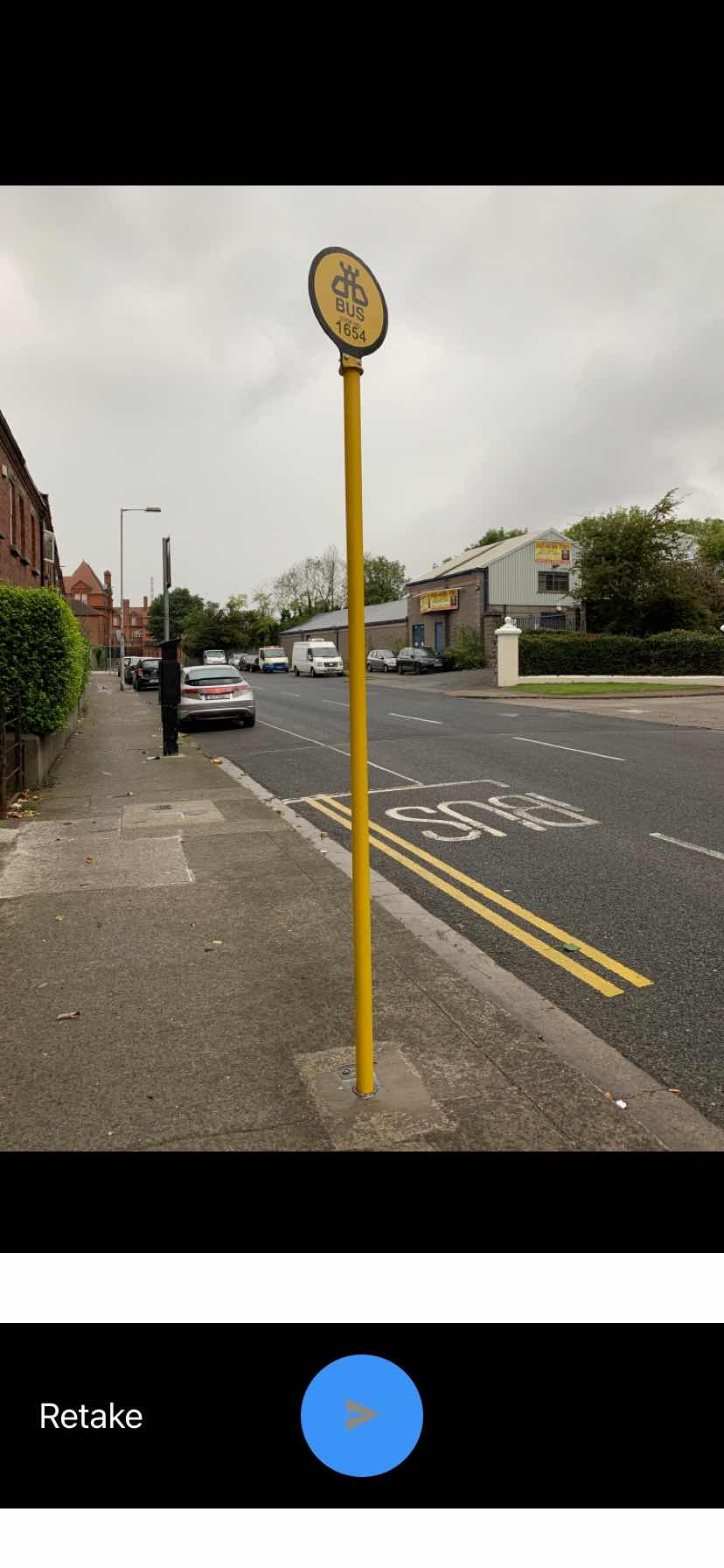 Taken by Anonymous
See St David's Terrace stop, Dublin, on the map
Public transit to St David's Terrace stop (ID: 1654) in Dublin
Looking for directions to St David's Terrace in Dublin, Ireland?
Download the Moovit App to find the current schedule and step-by-step directions for Bus, Train or Light Rail routes that pass through St David's Terrace.
Looking for the nearest stops closest to St David's Terrace ? Check out this list of closest stops to your destination: Blackhorse Avenue; Ellesmere Avenue; Cabra Drive; Museum; Dublin Heuston.
Bus: 11, 37, N2, 11B, 39, 39A, 70.Train: DART, RAIL, COMMUTER, INTERCITY.
We make riding on public transit to St David's Terrace easy, which is why over 1.7 billion users, including users in Dublin trust Moovit as the best app for public transit.
Use the app to navigate to popular places including to the airport, hospital, stadium, grocery store, mall, coffee shop, school, college, and university.
St David's Terrace stop’s code is 1654
The first line to this stop is N2, at 7:28 AM, and the last line is N2 at 12:03 AM.
This stop serves Go-Ahead Ireland and Bus Átha Cliath – Dublin Bus’s lines
- Blackhorse Avenue,
- Ellesmere Avenue,
- Cabra Drive
Bus stops near St David's Terrace stop
- Museum
Light Rail station near St David's Terrace station
- Dublin Heuston
Train station near St David's Terrace station
- The Gresham Hotel,
- Carrigrohane,
- Pinnockhill,
- Fitzwilliam Street,
- Fonthill Retail Pk,
- Raheny Road,
- Eccles Place,
- Oliver Plunkett Rd,
- Strandfield,
- Walkinstown Ave,
- Terenure Lbry,
- River Villge,
- Alsaa Sports Club,
- Griffith College,
- Pearse Rd,
- Collinstown B Pk,
- St Patrick's Cmtry,
- Amgen,
- Lidl Rdc,
- Mt Temple School
Popular public transit stations in Dublin
Get around Dublin by public transit!
Traveling around Dublin has never been so easy. See step by step directions as you travel to any attraction, street or major public transit station. View bus and train schedules, arrival times, service alerts and detailed routes on a map, so you know exactly how to get to anywhere in Dublin.
When traveling to any destination around Dublin use Moovit's Live Directions with Get Off Notifications to know exactly where and how far to walk, how long to wait for your line, and how many stops are left. Moovit will alert you when it's time to get off — no need to constantly re-check whether yours is the next stop.
Wondering how to use public transit in Dublin or how to pay for public transit in Dublin? Moovit public transit app can help you navigate your way with public transit easily, and at minimum cost. It includes public transit fees, ticket prices, and costs. Looking for a map of Dublin public transit lines? Moovit public transit app shows all public transit maps in Dublin with all Bus, Train and Light Rail routes and stops on an interactive map.
Ireland has 3 transit type(s), including: Bus, Train and Light Rail, operated by several transit agencies, including Luas, Bus Átha Cliath – Dublin Bus, Bus Éireann, Go-Ahead Ireland, Nitelink, Dublin Bus, Citylink, City Direct, Kenneally's Bus Service, Aircoach, TFI Local Link Mayo, Irish Rail, Express Bus, JJ/Bernard Kavanagh, Dublin Coach and Kearns Transport