Directions to Stable Jose, MD (Jupiter) with public transportation
The following transit lines have routes that pass near Stable Jose, MD
 Bus: 10.
How to get to Stable Jose, MD by bus?
Click on the bus route to see step by step directions with maps, line arrival times and updated time schedules.
From The Ballpark of the Palm Beaches, West Palm Beach
113 minFrom HCA Florida JFK North Hospital-ER, West Palm Beach
140 minFrom Singer Island, Riviera Beach
114 minFrom Suncoast High School, Riviera Beach
102 minFrom Magnolia Park, West Palm Beach
147 minFrom William T. Dwyer High School, Jupiter
41 minFrom Suncoast Community High School, Riviera Beach
108 minFrom Congress/45th Street, West Palm Beach
121 minFrom Donald Ross Rd / Military Trl, Jupiter
34 min
Bus stop near Stable Jose, MD in Jupiter
- INDIANTOWN RD at DELAWARE BLVD, 3 min walk,VIEW
Bus lines to Stable Jose, MD in Jupiter
- 10, Rt 10 Southbound,VIEW
What are the closest stations to Stable Jose, MD?
The closest stations to Stable Jose, MD are:
- INDIANTOWN RD at DELAWARE BLVD is 218 yards away, 3 min walk.
Which bus line stops near Stable Jose, MD?
10 (Rt 10 Northbound)
What’s the nearest bus station to Stable Jose, MD in Jupiter?
The nearest bus station to Stable Jose, MD in Jupiter is INDIANTOWN RD at DELAWARE BLVD. It’s a 3 min walk away.
What time is the first bus to Stable Jose, MD in Jupiter?
The 10 is the first bus that goes to Stable Jose, MD in Jupiter. It stops nearby at 6:05 AM.
What time is the last bus to Stable Jose, MD in Jupiter?
The 10 is the last bus that goes to Stable Jose, MD in Jupiter. It stops nearby at 7:53 PM.
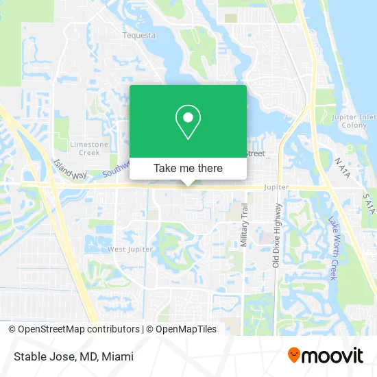
See Stable Jose, MD, Jupiter, on the map
Public Transit to Stable Jose, MD in Jupiter
Wondering how to get to Stable Jose, MD in Jupiter? Moovit helps you find the best way to get to Stable Jose, MD with step-by-step directions from the nearest public transit station.
Moovit provides free maps and live directions to help you navigate through your city. View schedules, routes, timetables, and find out how long does it take to get to Stable Jose, MD in real time.
Looking for the nearest stop or station to Stable Jose, MD? Check out this list of stops closest to your destination: INDIANTOWN RD at DELAWARE BLVD.
Bus: 10.
Want to see if there’s another route that gets you there at an earlier time? Moovit helps you find alternative routes or times. Get directions from and directions to Stable Jose, MD easily from the Moovit App or Website.
We make riding to Stable Jose, MD easy, which is why over 1.5 million users, including users in Jupiter, trust Moovit as the best app for public transit. You don’t need to download an individual bus app or train app, Moovit is your all-in-one transit app that helps you find the best bus time or train time available.
For information on prices of bus, costs and ride fares to Stable Jose, MD, please check the Moovit app.
Use the app to navigate to popular places including to the airport, hospital, stadium, grocery store, mall, coffee shop, school, college, and university.
Stable Jose, MD Address: 1232 W Indiantown Rd Jupiter, FL 33458 street in Jupiter
- HB Beauty Lounge,
- Super Fast Aut Transport,
- Sava Lifecare Payment Methods,
- Girl Scouts of Southea,
- K.Loft,
- Nails by Lin H,
- Brad Westover, Realtor - Avanti Way,
- 2023 MH Sub I, LLC,
- Dr Semich,
- FedEx,
- Sunshine Nails Salon LLC,
- Spine & Joint Treatment Center,
- Able Limo,
- Lojo Sports,
- Alcohol Detection Systems Ignition Interlock,
- Pool Pirates,
- Connect with Kim LLC; Dr. Kimberly Rivieccio, Ed.D, LMHC,
- Non-Competes Litigation Services,
- Robert Krist Woodworking,
- Kitchen Tune-Up Jupite
Places Near Stable Jose, MD (Jupiter)
- Richard E. Gerstein Justice Building, Miami,
- Sawgrass Mall, Miami,
- Hard Rock Stadium, Miami Gardens,
- Little Havana, Miami,
- Dolphin Mall, Miami,
- Aventura Mall, Miami,
- Miami-Dade County Courthouse, Miami,
- Port of Miami Cruise Terminal, Miami,
- Miami Freedom Park, Miami,
- Marlins Park, Miami,
- Miami VA Hospital, Miami,
- Zoo Miami, Miami,
- Dolphin Mall Bus, Miami,
- Sawgrass mall ( FL ), Miami Beach,
- Bayside Marketplace, Miami,
- Miami Design District, Miami,
- Keiser University Flagship Campus, West Palm Beach,
- Brickell City Centre, Miami,
- Aventura Mall, Miami Beach,
- Wynwood, Miami
How to get to popular places in Miami with public transit
Get around Jupiter by public transit!
Traveling around Jupiter has never been so easy. See step by step directions as you travel to any attraction, street or major public transit station. View bus and train schedules, arrival times, service alerts and detailed routes on a map, so you know exactly how to get to anywhere in Jupiter.
When traveling to any destination around Jupiter use Moovit's Live Directions with Get Off Notifications to know exactly where and how far to walk, how long to wait for your line, and how many stops are left. Moovit will alert you when it's time to get off — no need to constantly re-check whether yours is the next stop.
Wondering how to use public transit in Jupiter or how to pay for public transit in Jupiter? Moovit public transit app can help you navigate your way with public transit easily, and at minimum cost. It includes public transit fees, ticket prices, and costs. Looking for a map of Jupiter public transit lines? Moovit public transit app shows all public transit maps in Jupiter with all Bus, Train, Light Rail and Ferry routes and stops on an interactive map.
Miami has 4 transit type(s), including: Bus, Train, Light Rail and Ferry, operated by several transit agencies, including Broward County Transit, Miami-Dade Transit, Metrorail, Palm Tran, Tri-Rail, Brightline, MARTY, City of Homestead Trolley, Key West Transit, Treasure Coast Connector, GoLine IRT, Amtrak, Greyhound-us, FlixBus-us and Aventura Express Shuttle Bus