Stade Georges Garnier stop - Wednesday schedule
| Line | Direction | Time |
|---|---|---|
| T3 | Gares | 5:08 AM |
| T3 | Bois Joli | 5:17 AM |
| T3 | Gares | 5:39 AM |
| T3 | Bois Joli | 5:47 AM |
| T3 | Bois Joli | 6:03 AM |
| T3 | Gares | 6:08 AM |
| T3 | Bois Joli | 6:17 AM |
| T3 | Gares | 6:28 AM |
| T3 | Bois Joli | 6:37 AM |
| T3 | Gares | 6:43 AM |
| T3 | Bois Joli | 6:47 AM |
| T3 | Bois Joli | 6:57 AM |
| T3 | Gares | 6:58 AM |
| T3 | Bois Joli | 7:05 AM |
| 26 | Allonnes | 7:06 AM |
| T3 | Gares | 7:11 AM |
| T3 | Bois Joli | 7:12 AM |
| 26 | St-Georges | 7:14 AM |
| T3 | Bois Joli | 7:19 AM |
| T3 | Gares | 7:20 AM |
| T3 | Bois Joli | 7:26 AM |
| T3 | Gares | 7:26 AM |
| 26 | Allonnes | 7:29 AM |
| T3 | Bois Joli | 7:33 AM |
| T3 | Gares | 7:33 AM |
Directions to Stade Georges Garnier stop (Allonnes) with public transit
The following transit lines have routes that pass near Stade Georges Garnier
 Bus: 26, T3, 140, 150, 112.
How to get to Stade Georges Garnier stop by bus?
Click on the bus route to see step by step directions with maps, line arrival times and updated time schedules.
Bus stops near Stade Georges Garnier stop in Allonnes
- Gabriel Paillereau, 1 min walk,
- Berardière, 5 min walk,
- Centre Culturel Jean Carmet, 15 min walk,
- Collège Kennedy, 15 min walk,
Light Rail stations near Stade Georges Garnier station in Allonnes
- Zola, 33 min walk,
Bus lines to Stade Georges Garnier stop in Allonnes
- 26, St-Georges,
- 140, École Lyautey,
- 112, Mulsanne,
- T3, Gares,
- 150, C.C St-Georges-Du-Bois,
What are the closest stations to Stade Georges Garnier?
The closest stations to Stade Georges Garnier are:
- Gabriel Paillereau is 17 meters away, 1 min walk.
- Berardière is 381 meters away, 5 min walk.
- Centre Culturel Jean Carmet is 1152 meters away, 15 min walk.
- Collège Kennedy is 1154 meters away, 15 min walk.
- Zola is 2545 meters away, 33 min walk.
Which bus lines stop near Stade Georges Garnier?
These bus lines stop near Stade Georges Garnier: 26, T3.
What’s the nearest bus station to Stade Georges Garnier in Allonnes?
The nearest bus station to Stade Georges Garnier in Allonnes is Gabriel Paillereau. It’s a 1 min walk away.
What time is the first light rail to Stade Georges Garnier in Allonnes?
The T1 is the first light rail that goes to Stade Georges Garnier in Allonnes. It stops nearby at 6:37 AM.
What time is the last light rail to Stade Georges Garnier in Allonnes?
The T1 is the last light rail that goes to Stade Georges Garnier in Allonnes. It stops nearby at 1:06 AM.
What time is the first bus to Stade Georges Garnier in Allonnes?
The T3 is the first bus that goes to Stade Georges Garnier in Allonnes. It stops nearby at 6:49 AM.
What time is the last bus to Stade Georges Garnier in Allonnes?
The T3 is the last bus that goes to Stade Georges Garnier in Allonnes. It stops nearby at 11:44 PM.
Stade Georges Garnier station
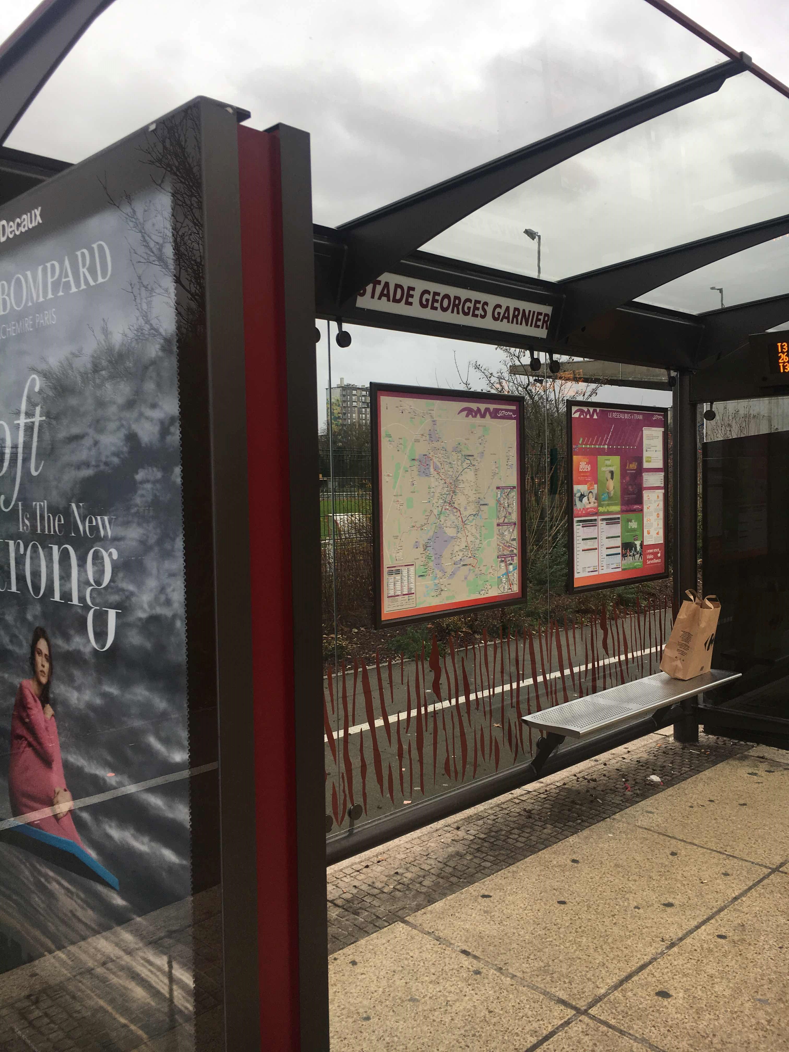 Taken by Anonymous
See Stade Georges Garnier stop, Allonnes, on the map
Public transit to Stade Georges Garnier stop in Allonnes
Looking for directions to Stade Georges Garnier in Allonnes, France?
Download the Moovit App to find the current schedule and step-by-step directions for Bus or Light Rail routes that pass through Stade Georges Garnier.
Looking for the nearest stops closest to Stade Georges Garnier ? Check out this list of closest stops to your destination: Gabriel Paillereau; Berardière; Centre Culturel Jean Carmet; Collège Kennedy; Zola.
Bus: 26, T3, 140, 150, 112.
We make riding on public transit to Stade Georges Garnier easy, which is why over 1.5 million users, including users in Allonnes trust Moovit as the best app for public transit.
Use the app to navigate to popular places including to the airport, hospital, stadium, grocery store, mall, coffee shop, school, college, and university.
The first line to this stop is T3, at 5:08 AM, and the last line is T3 at 12:42 AM.
This stop serves SETRAM’s lines
Popular routes from Stade Georges Garnier stop, Allonnes
- Gabriel Paillereau,
- Berardière,
- Centre Culturel Jean Carmet,
- Collège Kennedy
Bus stops near Stade Georges Garnier stop
- Zola
Light Rail station near Stade Georges Garnier station
- Béroize,
- Hendaye,
- Surcouf,
- Berry,
- Carrefour 1,
- Église St-Saturnin,
- Massenet,
- Boussinière,
- Sully Prudhomme,
- École Louise Labé,
- Collège Bollée,
- Polucan,
- Cimetière Sud,
- Flora Tristan,
- Victor Hugo,
- Pipèche,
- Carrefour 2,
- Bruyère Trangé,
- Cfa,
- Ardriers
Popular public transit stations in Allonnes
Get around Allonnes by public transit!
Traveling around Allonnes has never been so easy. See step by step directions as you travel to any attraction, street or major public transit station. View bus and train schedules, arrival times, service alerts and detailed routes on a map, so you know exactly how to get to anywhere in Allonnes.
When traveling to any destination around Allonnes use Moovit's Live Directions with Get Off Notifications to know exactly where and how far to walk, how long to wait for your line, and how many stops are left. Moovit will alert you when it's time to get off — no need to constantly re-check whether yours is the next stop.
Wondering how to use public transit in Allonnes or how to pay for public transit in Allonnes? Moovit public transit app can help you navigate your way with public transit easily, and at minimum cost. It includes public transit fees, ticket prices, and costs. Looking for a map of Allonnes public transit lines? Moovit public transit app shows all public transit maps in Allonnes with all Bus and Light Rail routes and stops on an interactive map.
Le Mans has 2 transit type(s), including: Bus and Light Rail, operated by several transit agencies, including SETRAM