How to get to State Farm by bus?
Click on the bus route to see step by step directions with maps, line arrival times and updated time schedules.
From Gulfstream Park, Hallandale Beach
47 minFrom Haulover Nude Beach, Miami Beach
38 minFrom Gulfstream Park Racing & Casino, Miami
48 minFrom Hampton Inn Hallandale Beach Aventura Hollywood, Hallandale Beach
49 minFrom In-N-Out Burger (innout), Miami
34 minFrom Cadillac Hotel & Beach Club, Miami Beach
53 minFrom T.J. Maxx, Miami
40 minFrom Social Security Office, Miami
49 minFrom Hilton Cabana Miami Beach, Miami Beach
36 minFrom Doral, Miami Beach
56 min
Bus stops near State Farm in Miami
Bus lines to State Farm in Miami
What are the closest stations to State Farm?
The closest stations to State Farm are:
- Biscayne Bd & Ne 121 St is 107 yards away, 2 min walk.
- Whole Foods is 124 yards away, 2 min walk.
- Biscayne Bd & Sans Souci Bd is 205 yards away, 3 min walk.
- Ne 123 St & Ne 16 Av is 317 yards away, 5 min walk.
- Ne 123 St @ Ne 16 Av is 399 yards away, 6 min walk.
Which bus lines stop near State Farm?
These bus lines stop near State Farm: 125, 203, 3.
What’s the nearest bus station to State Farm in Miami?
The nearest bus stations to State Farm in Miami are Biscayne Bd & Ne 121 St and Whole Foods. The closest one is a 2 min walk away.
What time is the first bus to State Farm in Miami?
The 3 is the first bus that goes to State Farm in Miami. It stops nearby at 3:33 AM.
What time is the last bus to State Farm in Miami?
The 3 is the last bus that goes to State Farm in Miami. It stops nearby at 2:34 AM.
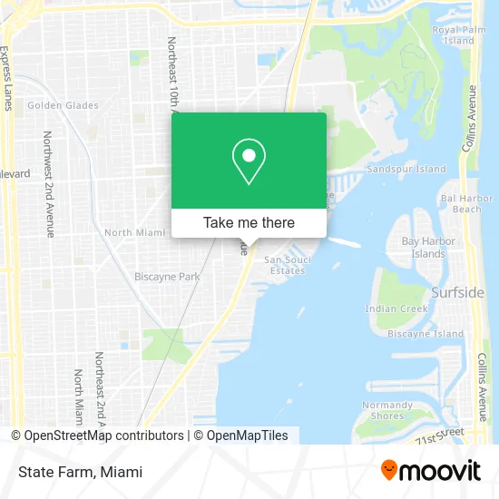
See State Farm, Miami, on the map
Public Transit to State Farm in Miami
Wondering how to get to State Farm in Miami? Moovit helps you find the best way to get to State Farm with step-by-step directions from the nearest public transit station.
Moovit provides free maps and live directions to help you navigate through your city. View schedules, routes, timetables, and find out how long does it take to get to State Farm in real time.
Looking for the nearest stop or station to State Farm? Check out this list of stops closest to your destination: Biscayne Bd & Ne 121 St; Whole Foods; Biscayne Bd & Sans Souci Bd; Ne 123 St & Ne 16 Av; Ne 123 St @ Ne 16 Av.
Bus: 125, 203, 3, NOMRED, 16, NOMBLU.
Want to see if there’s another route that gets you there at an earlier time? Moovit helps you find alternative routes or times. Get directions from and directions to State Farm easily from the Moovit App or Website.
We make riding to State Farm easy, which is why over 1.5 million users, including users in Miami, trust Moovit as the best app for public transit. You don’t need to download an individual bus app or train app, Moovit is your all-in-one transit app that helps you find the best bus time or train time available.
For information on prices of bus, costs and ride fares to State Farm, please check the Moovit app.
Use the app to navigate to popular places including to the airport, hospital, stadium, grocery store, mall, coffee shop, school, college, and university.
State Farm Address: 12000 Biscayne Blvd Miami, FL 33181 street in Miami
- Sher Dental,
- Ameriprise Financial,
- Swedroe Architecture,
- Tomlinson Realty Group-Jeff Tomlinson,
- Complete Structure Painting,
- The Benhayoun Law Firm,
- Justin G Brook,
- Stilbon Corp,
- Two Session Solution,
- Egleston Scott,
- USPS Collection Box - Blue Box,
- El Transcantabrico Gran Lujo Costa Verde Express,
- Imperial Construction SN,
- Lime Fresh Mexican Grill,
- Studio Khora,
- STARBUCKS,
- Palace Tours,
- Camera Musica,
- Zorian Sperkacz,
- Lans Medicals Nicaragua sa
Places Near State Farm (Miami)
- Marlins Park, Miami,
- Aventura Mall, Miami,
- Sawgrass mall ( FL ), Miami Beach,
- Miami Freedom Park, Miami,
- Sawgrass Mall, Miami,
- Wynwood, Miami,
- Miami-Dade County Courthouse, Miami,
- Port of Miami Cruise Terminal, Miami,
- Aventura Mall, Miami Beach,
- Miami VA Hospital, Miami,
- Miami Design District, Miami,
- Zoo Miami, Miami,
- Keiser University Flagship Campus, West Palm Beach,
- Bayside Marketplace, Miami,
- Richard E. Gerstein Justice Building, Miami,
- Hard Rock Stadium, Miami Gardens,
- Little Havana, Miami,
- Dolphin Mall, Miami,
- Brickell City Centre, Miami,
- Dolphin Mall Bus, Miami
How to get to popular places in Miami with public transit
Get around Miami by public transit!
Traveling around Miami has never been so easy. See step by step directions as you travel to any attraction, street or major public transit station. View bus and train schedules, arrival times, service alerts and detailed routes on a map, so you know exactly how to get to anywhere in Miami.
When traveling to any destination around Miami use Moovit's Live Directions with Get Off Notifications to know exactly where and how far to walk, how long to wait for your line, and how many stops are left. Moovit will alert you when it's time to get off — no need to constantly re-check whether yours is the next stop.
Wondering how to use public transit in Miami or how to pay for public transit in Miami? Moovit public transit app can help you navigate your way with public transit easily, and at minimum cost. It includes public transit fees, ticket prices, and costs. Looking for a map of Miami public transit lines? Moovit public transit app shows all public transit maps in Miami with all Bus, Train, Light Rail and Ferry routes and stops on an interactive map.
Miami has 4 transit type(s), including: Bus, Train, Light Rail and Ferry, operated by several transit agencies, including Broward County Transit, Miami-Dade Transit, Metrorail, Palm Tran, Tri-Rail, Brightline, MARTY, City of Homestead Trolley, Key West Transit, Treasure Coast Connector, GoLine IRT, Amtrak, Greyhound-us, FlixBus-us and Aventura Express Shuttle Bus