Directions to State Farm (Southington) with public transportation
The following transit lines have routes that pass near State Farm
 Bus: 532.
How to get to State Farm by bus?
Click on the bus route to see step by step directions with maps, line arrival times and updated time schedules.
Bus stop near State Farm in Southington
- Queen St @ John Weischel Xing, 1 min walk,VIEW
Bus lines to State Farm in Southington
- 532, 532 - Queen St-Southington,VIEW
What are the closest stations to State Farm?
The closest stations to State Farm are:
- Queen St @ John Weischel Xing is 65 yards away, 1 min walk.
Which bus line stops near State Farm?
532 (532 - Queen St-Southington)
What’s the nearest bus station to State Farm in Southington?
The nearest bus station to State Farm in Southington is Queen St @ John Weischel Xing. It’s a 1 min walk away.
What time is the first bus to State Farm in Southington?
The 532 is the first bus that goes to State Farm in Southington. It stops nearby at 5:34 AM.
What time is the last bus to State Farm in Southington?
The 532 is the last bus that goes to State Farm in Southington. It stops nearby at 12:47 AM.
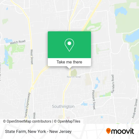
See State Farm, Southington, on the map
Public Transit to State Farm in Southington
Wondering how to get to State Farm in Southington? Moovit helps you find the best way to get to State Farm with step-by-step directions from the nearest public transit station.
Moovit provides free maps and live directions to help you navigate through your city. View schedules, routes, timetables, and find out how long does it take to get to State Farm in real time.
Looking for the nearest stop or station to State Farm? Check out this list of stops closest to your destination: Queen St @ John Weischel Xing.
Bus: 532.
Want to see if there’s another route that gets you there at an earlier time? Moovit helps you find alternative routes or times. Get directions from and directions to State Farm easily from the Moovit App or Website.
We make riding to State Farm easy, which is why over 1.5 million users, including users in Southington, trust Moovit as the best app for public transit. You don’t need to download an individual bus app or train app, Moovit is your all-in-one transit app that helps you find the best bus time or train time available.
For information on prices of bus, costs and ride fares to State Farm, please check the Moovit app.
Use the app to navigate to popular places including to the airport, hospital, stadium, grocery store, mall, coffee shop, school, college, and university.
State Farm Address: 142 Queen St Southington, CT 06489 street in Southington
- Michael Gaudio - Realty3ct,
- Lombardo Real Estate Services,
- Andrew Rasmussen-Tuller,
- Edven Jean Realty,
- Lynn Mogielnicki - Real Estate Agent,
- Lisa Rinaldini Demartin,
- Joe Plante,
- Edward W. Robertson,
- Southington Rustic Fence Company,
- Agway,
- Aziago's,
- A.J. Garstang - Private Wealth Advisor, Ameriprise Financial Services,
- Farmers Insurance - William Mcdougall,
- Marc Dynder - Ameriprise Financial Services, Llc,
- Center For Divorce and Healing,
- A & D T- Alarm Home Security Monitoring,
- Krezel Richard M,
- Rachel Wardwell Realtor,
- A.J. Garstang - Private Wealth Advisor, Ameriprise Financial Services, Llc,
- Christopher L Fry - Private Wealth Advisor, Ameriprise Financial Services
Places Near State Farm (Southington)
- Times Square, Manhattan,
- Queens Center Mall, Queens,
- Mountainside Hospital, Glen Ridge,
- 3 Stone St, Manhattan,
- 911 Memorial, Manhattan,
- SoHo, Manhattan,
- 1 Police Plaza, Manhattan,
- qqqq, Manhattan,
- Katz's Deli, Manhattan,
- 66 John Street, Manhattan,
- Rockefeller Center, Manhattan,
- 111 Centre New York City Supreme Court, Manhattan,
- Bellevue Hospital, Manhattan,
- Chinatown, Manhattan,
- San Gennaro Feast, Manhattan,
- Hudson Yards, Manhattan,
- Pier 83, Manhattan,
- Wall Street, Manhattan,
- 26 Federal Plaza, Manhattan,
- 376 Hudson Street, Manhattan
How to get to popular places in New York - New Jersey with public transit
Get around Southington by public transit!
Traveling around Southington has never been so easy. See step by step directions as you travel to any attraction, street or major public transit station. View bus and train schedules, arrival times, service alerts and detailed routes on a map, so you know exactly how to get to anywhere in Southington.
When traveling to any destination around Southington use Moovit's Live Directions with Get Off Notifications to know exactly where and how far to walk, how long to wait for your line, and how many stops are left. Moovit will alert you when it's time to get off — no need to constantly re-check whether yours is the next stop.
Wondering how to use public transit in Southington or how to pay for public transit in Southington? Moovit public transit app can help you navigate your way with public transit easily, and at minimum cost. It includes public transit fees, ticket prices, and costs. Looking for a map of Southington public transit lines? Moovit public transit app shows all public transit maps in Southington with all Bus, Train, Subway, Light Rail, Ferry and Cable Car routes and stops on an interactive map.
New York - New Jersey has 6 transit type(s), including: Bus, Train, Subway, Light Rail, Ferry and Cable Car, operated by several transit agencies, including MTA Subway, Metro-North Railroad, LIRR, PATH, MTA New York City Transit - Express routes, MTA Bus, NJ Transit, NYC Ferry, NICE bus, Bee-Line Bus, NJ Transit Rail, Norwalk Transit District, Hartford Line, River Valley Transit and HART