Directions to State Farm (Tulsa) with public transportation
The following transit lines have routes that pass near State Farm
 Bus: 450.
How to get to State Farm by bus?
Click on the bus route to see step by step directions with maps, line arrival times and updated time schedules.
From Numbered Car, Tulsa
63 minFrom Kaiser Rehabilitation Center at Hillcrest (Kaiser Rehab Ctr At Hillcrest), Tulsa
65 minFrom Kali Cole, MD MPH, Tulsa
62 minFrom Hillcrest Education Center, Tulsa
68 minFrom The Experienced Portable Toilet Company, Tulsa
66 minFrom Sax Martini Lounge, Tulsa
72 minFrom 23rd Street Neighborhood Pantry, Tulsa
76 minFrom University of Oklahoma Center for Exercise and Sports Medicine, Tulsa
64 minFrom Aep Service, Tulsa
64 min
Bus stop near State Farm in Tulsa
- (7876) 51st St & Sheridan Rd Eb, 2 min walk,VIEW
Bus lines to State Farm in Tulsa
- 450, To Tcc NE,VIEW
What are the closest stations to State Farm?
The closest stations to State Farm are:
- (7876) 51st St & Sheridan Rd Eb is 96 yards away, 2 min walk.
Which bus line stops near State Farm?
450 (To Woodland Hills)
What’s the nearest bus station to State Farm in Tulsa?
The nearest bus station to State Farm in Tulsa is (7876) 51st St & Sheridan Rd Eb. It’s a 2 min walk away.
What time is the first bus to State Farm in Tulsa?
The 450 is the first bus that goes to State Farm in Tulsa. It stops nearby at 6:13 AM.
What time is the last bus to State Farm in Tulsa?
The 450 is the last bus that goes to State Farm in Tulsa. It stops nearby at 6:42 PM.
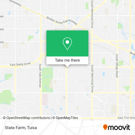
See State Farm, Tulsa, on the map
Public Transit to State Farm in Tulsa
Wondering how to get to State Farm in Tulsa? Moovit helps you find the best way to get to State Farm with step-by-step directions from the nearest public transit station.
Moovit provides free maps and live directions to help you navigate through your city. View schedules, routes, timetables, and find out how long does it take to get to State Farm in real time.
Looking for the nearest stop or station to State Farm? Check out this list of stops closest to your destination: (7876) 51st St & Sheridan Rd Eb.
Bus: 450.
Want to see if there’s another route that gets you there at an earlier time? Moovit helps you find alternative routes or times. Get directions from and directions to State Farm easily from the Moovit App or Website.
We make riding to State Farm easy, which is why over 1.5 million users, including users in Tulsa, trust Moovit as the best app for public transit. You don’t need to download an individual bus app or train app, Moovit is your all-in-one transit app that helps you find the best bus time or train time available.
For information on prices of bus, costs and ride fares to State Farm, please check the Moovit app.
Use the app to navigate to popular places including to the airport, hospital, stadium, grocery store, mall, coffee shop, school, college, and university.
State Farm Address: 5103 S Sheridan Rd Tulsa, OK 74145 street in Tulsa
- Woodard Gene,
- Ringmakers: A Fine Jewelry Design Studio by Massoud,
- 1st Base Operations,
- Tulsa Panorama,
- Cup of Coffee Networkers,
- RJM Corporation (USA) Inc.,
- JDW Hotshot Services,
- Shred Nations,
- Io Metro,
- JT Nails Tulsa,
- 51st & Sheridan,
- Villa Ravenna,
- Mamasotas,
- USA Glass,
- Oishi Sushi & Ramen,
- Amazon Locker-Recipient,
- The Spudder Restaurant,
- Asian Rose Spa,
- Libertyx Bitcoin ATM,
- Black Sheep Boutique
Places Near State Farm (Tulsa)
- Fallout Shelter, Tulsa,
- Bixby, OK, Bixby,
- River Spirit Casino, Tulsa,
- 71st & Memorial, Tulsa,
- Plaza Santa Cecilia, Tulsa,
- Alagon Spa (Olympus Spa), Tulsa,
- St Francis South Cardinal Building, Tulsa,
- Zavala Plus, Tulsa,
- Amazon Fulfillment Center-TUL2, Tulsa,
- Saint Francis Hospital, Tulsa,
- Woodland Hills Mall, Tulsa,
- Tulsa State Fair, Tulsa,
- Tulsa Zoo, Tulsa,
- Tulsa Ok, Tulsa,
- Hard Rock Casino, Tulsa,
- St. Francis Hospital Outpatient Infusion, Tulsa,
- Walmart, Tulsa,
- Broken Arrow, OK, Broken Arrow,
- S Garnett Rd / E 21st St, Tulsa,
- Osage Casino, Tulsa
How to get to popular places in Tulsa with public transit
Get around Tulsa by public transit!
Traveling around Tulsa has never been so easy. See step by step directions as you travel to any attraction, street or major public transit station. View bus and train schedules, arrival times, service alerts and detailed routes on a map, so you know exactly how to get to anywhere in Tulsa.
When traveling to any destination around Tulsa use Moovit's Live Directions with Get Off Notifications to know exactly where and how far to walk, how long to wait for your line, and how many stops are left. Moovit will alert you when it's time to get off — no need to constantly re-check whether yours is the next stop.
Wondering how to use public transit in Tulsa or how to pay for public transit in Tulsa? Moovit public transit app can help you navigate your way with public transit easily, and at minimum cost. It includes public transit fees, ticket prices, and costs. Looking for a map of Tulsa public transit lines? Moovit public transit app shows all public transit maps in Tulsa with all bus routes and stops on an interactive map.
Tulsa has 1 transit type(s), including: bus, operated by several transit agencies, including MetroLink Tulsa and Greyhound-us