How to get to State Farm Insurance by bus?
Click on the bus route to see step by step directions with maps, line arrival times and updated time schedules.
From Howard Community College, Howard County
98 minFrom Lincoln Tech, Howard County
119 minFrom Elkridge, MD, Howard County
120 minFrom Merriweather Post Pavilion, Howard County
69 minFrom Walmart, Baltimore County
59 minFrom I-695 @ Exit 17 (Security Blvd/MD 122), Baltimore County
95 minFrom I-695 @ Exit 18 (Liberty Rd/MD 26), Baltimore County
126 minFrom I-70 at Security Blvd Baltimore City Lot Park & Ride, Baltimore
89 minFrom University Of Maryland Baltimore (Umbc), Baltimore County
130 minFrom Randallstown, MD, Baltimore County
126 min
Bus stops near State Farm Insurance in Howard County
Bus lines to State Farm Insurance in Howard County
What are the closest stations to State Farm Insurance?
The closest stations to State Farm Insurance are:
- Baltimore National Pike / St. John's Ln (Eastbound) is 474 yards away, 6 min walk.
- Lotte Plaza Us 40 & Us 29 is 4722 yards away, 55 min walk.
- Walmart at Ellicott City is 5229 yards away, 61 min walk.
Which bus lines stop near State Farm Insurance?
These bus lines stop near State Farm Insurance: 405, 505.
What’s the nearest bus station to State Farm Insurance in Howard County?
The nearest bus station to State Farm Insurance in Howard County is Baltimore National Pike / St. John's Ln (Eastbound). It’s a 6 min walk away.
What time is the first bus to State Farm Insurance in Howard County?
The 315 is the first bus that goes to State Farm Insurance in Howard County. It stops nearby at 5:05 AM.
What time is the last bus to State Farm Insurance in Howard County?
The 505 is the last bus that goes to State Farm Insurance in Howard County. It stops nearby at 9:30 PM.
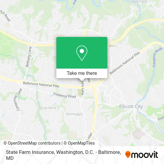
See State Farm Insurance, Howard County, on the map
Public Transit to State Farm Insurance in Howard County
Wondering how to get to State Farm Insurance in Howard County? Moovit helps you find the best way to get to State Farm Insurance with step-by-step directions from the nearest public transit station.
Moovit provides free maps and live directions to help you navigate through your city. View schedules, routes, timetables, and find out how long does it take to get to State Farm Insurance in real time.
Looking for the nearest stop or station to State Farm Insurance? Check out this list of stops closest to your destination: Baltimore National Pike / St. John's Ln (Eastbound); Lotte Plaza Us 40 & Us 29; Walmart at Ellicott City.
Bus: 405, 505, 315.
Want to see if there’s another route that gets you there at an earlier time? Moovit helps you find alternative routes or times. Get directions from and directions to State Farm Insurance easily from the Moovit App or Website.
We make riding to State Farm Insurance easy, which is why over 1.5 million users, including users in Howard County, trust Moovit as the best app for public transit. You don’t need to download an individual bus app or train app, Moovit is your all-in-one transit app that helps you find the best bus time or train time available.
For information on prices of bus, costs and ride fares to State Farm Insurance, please check the Moovit app.
Get to State Farm Insurance with public transit and pay for the ride in the Moovit app. In addition to all info you may need for your trip to State Farm Insurance, including live directions, real-time arrivals and fare prices, you can also buy public transit passes for your rides. No need for cash or paper tickets to get to State Farm Insurance - everything you need is accessible in the app with a click of the button.
Use the app to navigate to popular places including to the airport, hospital, stadium, grocery store, mall, coffee shop, school, college, and university.
State Farm Insurance Address: 3340 Saint Johns Ln street in Howard County
- UPS Access Point Location,
- Five Below,
- First Commonwealth Bank,
- Liquors,
- Fast Wok,
- Han's Dry Cleaners,
- St Johns Cleaners,
- ADT 24 7 Alarm & Security,
- Depot,
- Select Counseling,
- Roxanne Hughes-Wheat PHD,
- Davis, Carmen M,
- Led Life,
- Micasa Mexican Restaurant - Home,
- Day Break,
- Psychiatry Specialities Clinics,
- Joan Lieber LCSWC,
- Ima Therapy Center,
- Heartwise Holistics,
- House of Embroidery
Places Near State Farm Insurance (Howard County)
- Washington DC VA Medical Center, Washington,
- M&T Bank Stadium, Baltimore,
- Camden Yards, Baltimore,
- Capital One Arena, Washington,
- Westfield Montgomery Mall, Montgomery County,
- Sibley Memorial Hospital, Washington,
- PG Mall, Prince George's County,
- Warner Theatre, Washington,
- Pennsylvania Ave NW (3rd st and pennsylvania), Washington,
- Museum Of The Bible, Washington,
- Basilica of the National Shrine, Washington,
- National Theatre, Washington,
- Amazon Hq2, Arlington County,
- Washington National Cathedral, Washington,
- Marriott Marquis Washington, DC, Washington,
- Georgetown, Washington,
- National Zoo, Washington,
- National Museum of African American History and Culture, Washington,
- The Anthem, Washington,
- Rock Creek Tennis Center, Washington
How to get to popular places in Washington, D.C. - Baltimore, MD with public transit
Get around Howard County by public transit!
Traveling around Howard County has never been so easy. See step by step directions as you travel to any attraction, street or major public transit station. View bus and train schedules, arrival times, service alerts and detailed routes on a map, so you know exactly how to get to anywhere in Howard County.
When traveling to any destination around Howard County use Moovit's Live Directions with Get Off Notifications to know exactly where and how far to walk, how long to wait for your line, and how many stops are left. Moovit will alert you when it's time to get off — no need to constantly re-check whether yours is the next stop.
Wondering how to use public transit in Howard County or how to pay for public transit in Howard County? Moovit public transit app can help you navigate your way with public transit easily, and at minimum cost. It includes public transit fees, ticket prices, and costs. Looking for a map of Howard County public transit lines? Moovit public transit app shows all public transit maps in Howard County with all Bus, Train, Metro, Light Rail and Ferry routes and stops on an interactive map.
Washington, D.C. - Baltimore, MD has 5 transit type(s), including: Bus, Train, Metro, Light Rail and Ferry, operated by several transit agencies, including WMATA, Montgomery County Ride On, Fairfax Connector, TheBus, PRTC, DASH - Alexandria, Arlington Transit (ART), RTA of Central Maryland, MDOT MTA, MDOT MTA Light RailLink, MDOT MTA Commuter Bus, MDOT MTA Local Bus, FXBGO!, Virginia Railway Express (VRE) and MARC