Steeles Av / Hidden Trl stop - Sunday schedule
| Line | Direction | Time |
|---|---|---|
| 353 | Newgale Gate at Finchdene Sq | 5:03 AM |
| 353 | Newgale Gate at Finchdene Sq | 5:33 AM |
| 353 | Newgale Gate at Finchdene Sq | 6:03 AM |
| 353 | Newgale Gate at Finchdene Sq | 6:33 AM |
| 353 | Newgale Gate at Finchdene Sq | 7:03 AM |
| 60 | Finch Station | 7:15 AM |
| 60 | Finch Station | 7:35 AM |
| 60 | Finch Station | 7:56 AM |
| 60 | Finch Station | 8:13 AM |
| 60 | Finch Station | 8:23 AM |
| 60 | Finch Station | 8:33 AM |
| 60 | Finch Station | 8:43 AM |
| 60 | Finch Station | 8:53 AM |
| 60 | Finch Station | 9:03 AM |
| 60 | Finch Station | 9:13 AM |
| 60 | Finch Station | 9:23 AM |
| 60 | Finch Station | 9:33 AM |
| 60 | Finch Station | 9:43 AM |
| 60 | Finch Station | 9:53 AM |
| 60 | Finch Station | 10:03 AM |
| 60 | Finch Station | 10:13 AM |
| 60 | Finch Station | 10:23 AM |
| 60 | Finch Station | 10:33 AM |
| 60 | Finch Station | 10:43 AM |
| 60 | Finch Station | 10:53 AM |
Directions to Steeles Av / Hidden Trl stop (Toronto) with public transit
The following transit lines have routes that pass near Steeles Av / Hidden Trl
 Bus: 3, 60, 60A, 960B, 960D.
- Train: BR.
- Subway: 1.
How to get to Steeles Av / Hidden Trl stop by bus?
Click on the bus route to see step by step directions with maps, line arrival times and updated time schedules.
How to get to Steeles Av / Hidden Trl stop by subway?
Click on the subway route to see step by step directions with maps, line arrival times and updated time schedules.
Bus stops near Steeles Av / Hidden Trl stop in Toronto
- Steeles Av / Hidden Trl, 1 min walk,
- Steeles Av / Conley St, 2 min walk,
- Steeles Ave West at New Westminster Dr, 7 min walk,
- Dufferin St / Steeles Av, 7 min walk,
Subway stations near Steeles Av / Hidden Trl station in Toronto
- Finch West Station, 49 min walk,
Train stations near Steeles Av / Hidden Trl station in Toronto
- Downsview Park Go, 60 min walk,
Bus lines to Steeles Av / Hidden Trl stop in Toronto
- 3, Pioneer Village Terminal - Wb,
- 60A, Pioneer Village Station,
- 60B, Steeles Ave West Loop at Martin Grove Rd,
- 60D, Signal Hill Ave at Steeles Ave West,
- 353, Ian Macdonald Blvd at the Chimneystack Rd,
- 960B, Finch Station,
- 960D, Signal Hill Ave at Steeles Ave West,
- 60, Finch Station,
- 105, Rutherford Road - Nb,
- 105A, Dufferin St at Steeles Ave West South Side,
- 329, Dufferin Gate Loop,
- 329S, Wilson Station,
What are the closest stations to Steeles Av / Hidden Trl?
The closest stations to Steeles Av / Hidden Trl are:
- Steeles Av / Hidden Trl is 33 meters away, 1 min walk.
- Steeles Av / Conley St is 90 meters away, 2 min walk.
- Steeles Ave West at New Westminster Dr is 478 meters away, 7 min walk.
- Dufferin St / Steeles Av is 539 meters away, 7 min walk.
- Finch West Station is 3823 meters away, 49 min walk.
- Downsview Park Go is 4665 meters away, 60 min walk.
Which bus lines stop near Steeles Av / Hidden Trl?
These bus lines stop near Steeles Av / Hidden Trl: 3, 60, 60A, 960B, 960D.
Which subway line stops near Steeles Av / Hidden Trl?
1 (Vaughan Metropolitan Centre)
What’s the nearest bus station to Steeles Av / Hidden Trl in Toronto?
The nearest bus station to Steeles Av / Hidden Trl in Toronto is Steeles Av / Hidden Trl. It’s a 1 min walk away.
What time is the first subway to Steeles Av / Hidden Trl in Toronto?
The 1 is the first subway that goes to Steeles Av / Hidden Trl in Toronto. It stops nearby at 5:31 AM.
What time is the last subway to Steeles Av / Hidden Trl in Toronto?
The 1 is the last subway that goes to Steeles Av / Hidden Trl in Toronto. It stops nearby at 2:31 AM.
What time is the first train to Steeles Av / Hidden Trl in Toronto?
The BR is the first train that goes to Steeles Av / Hidden Trl in Toronto. It stops nearby at 6:09 AM.
What time is the last train to Steeles Av / Hidden Trl in Toronto?
The BR is the last train that goes to Steeles Av / Hidden Trl in Toronto. It stops nearby at 11:13 PM.
What time is the first bus to Steeles Av / Hidden Trl in Toronto?
The 329 is the first bus that goes to Steeles Av / Hidden Trl in Toronto. It stops nearby at 3:00 AM.
What time is the last bus to Steeles Av / Hidden Trl in Toronto?
The 353 is the last bus that goes to Steeles Av / Hidden Trl in Toronto. It stops nearby at 3:42 AM.
Steeles Av / Hidden Trl station
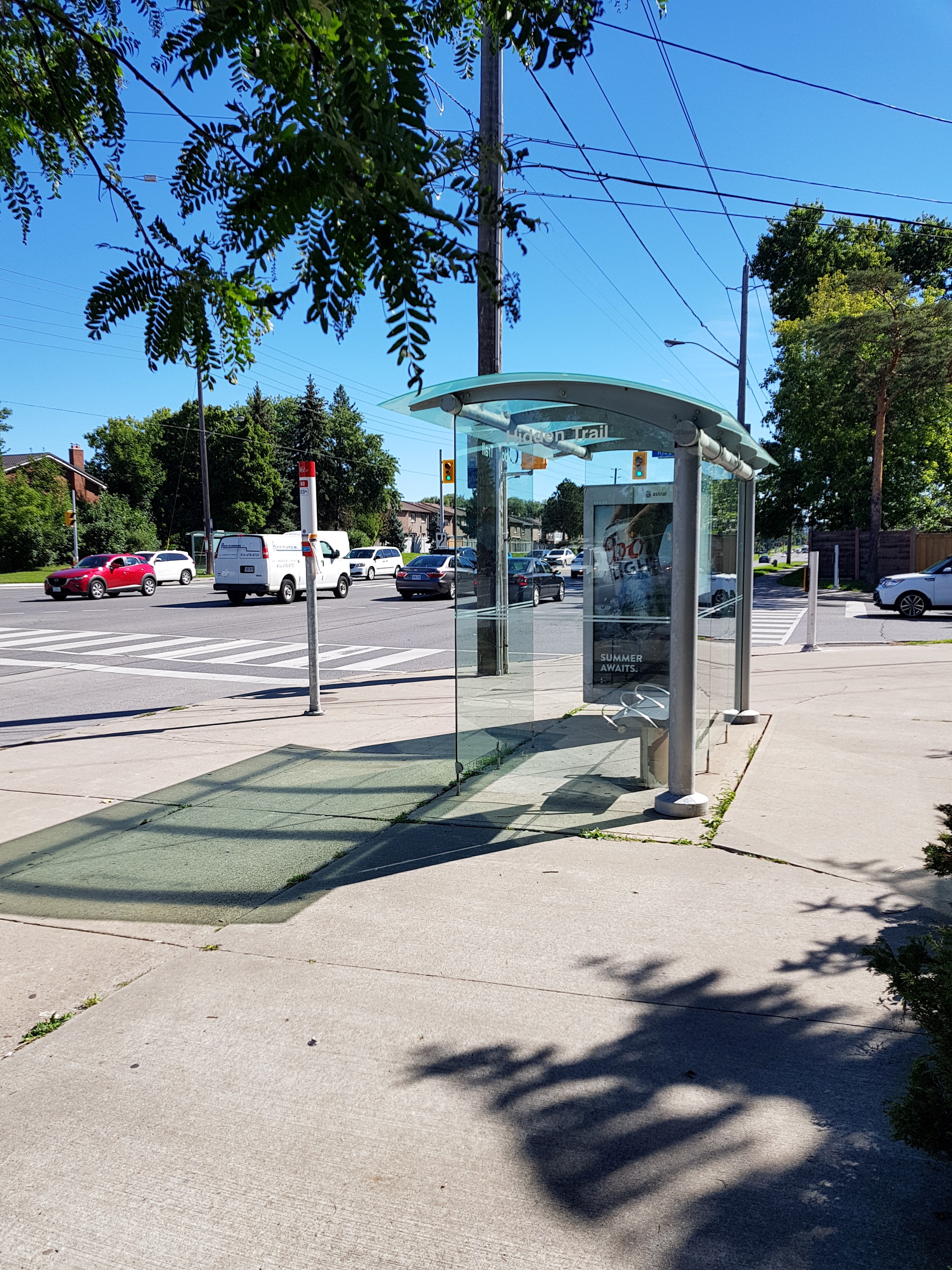 Taken by Anonymous
See Steeles Av / Hidden Trl stop, Toronto, on the map
Public transit to Steeles Av / Hidden Trl stop in Toronto
Looking for directions to Steeles Av / Hidden Trl in Toronto, Canada?
Download the Moovit App to find the current schedule and step-by-step directions for Bus or Subway routes that pass through Steeles Av / Hidden Trl.
Looking for the nearest stops closest to Steeles Av / Hidden Trl ? Check out this list of closest stops to your destination: Steeles Av / Hidden Trl; Steeles Av / Conley St; Steeles Ave West at New Westminster Dr; Dufferin St / Steeles Av; Finch West Station; Downsview Park Go.
Bus: 3, 60, 60A, 960B, 960D, 60B, 60D, 353, 105.Train: BR.Subway: 1.
We make riding on public transit to Steeles Av / Hidden Trl easy, which is why over 1.5 million users, including users in Toronto trust Moovit as the best app for public transit.
Use the app to navigate to popular places including to the airport, hospital, stadium, grocery store, mall, coffee shop, school, college, and university.
The first line to this stop is 353, at 5:03 AM, and the last line is 353 at 4:33 AM.
1755 Steeles Avenue West, Toronto, ON, Canada
This stop serves TTC’s lines
- Steeles Av / Hidden Trl,
- Steeles Av / Conley St,
- Steeles Ave West at New Westminster Dr,
- Dufferin St / Steeles Av
Bus stops near Steeles Av / Hidden Trl stop
- Finch West Station
Subway station near Steeles Av / Hidden Trl station
- Downsview Park Go
Train station near Steeles Av / Hidden Trl station
- King at James,
- Caledonia Rd at Eglinton Ave West,
- Dufferin St / Rutherford Rd,
- Zeller / Fairway,
- Upper Wentworth at Fennell,
- Steeles Ave West at Martin Grove Rd,
- James Potter Rd W/Of Williams Pky W,
- Airport Rd At Silver Dart Dr,
- King St West at York St - St Andrew Station,
- Brampton Go,
- Dufferin St at Castlefield Ave,
- Sheppard Ave East at Midland Ave,
- Kennedy Rd at Courtneypark Dr,
- Yonge St / Weldrick Rd,
- Agincourt Go,
- Oakville Go Station,
- Dundas St at Tomken Rd,
- King St. W. @ Queen St. N.,
- Main at Milton Mall,
- Hwy. 50 @ Queen St. E.
Popular public transit stations in Toronto
Get around Toronto by public transit!
Traveling around Toronto has never been so easy. See step by step directions as you travel to any attraction, street or major public transit station. View bus and train schedules, arrival times, service alerts and detailed routes on a map, so you know exactly how to get to anywhere in Toronto.
When traveling to any destination around Toronto use Moovit's Live Directions with Get Off Notifications to know exactly where and how far to walk, how long to wait for your line, and how many stops are left. Moovit will alert you when it's time to get off — no need to constantly re-check whether yours is the next stop.
Wondering how to use public transit in Toronto or how to pay for public transit in Toronto? Moovit public transit app can help you navigate your way with public transit easily, and at minimum cost. It includes public transit fees, ticket prices, and costs. Looking for a map of Toronto public transit lines? Moovit public transit app shows all public transit maps in Toronto with all Bus, Train, Subway, Streetcar and Ferry routes and stops on an interactive map.
Toronto has 5 transit type(s), including: Bus, Train, Subway, Streetcar and Ferry, operated by several transit agencies, including TTC, TTC Streetcar, Toronto Subway, Brampton Transit, MiWay, York Region Transit, GO Transit Bus, GO Transit, Durham Region Transit, UP Express, Grand River Transit, Guelph Transit, Hamilton Street Railway, Burlington Transit and Oakville Transit