Directions to Steepletown Workforce Development (Grand Rapids) with public transportation
The following transit lines have routes that pass near Steepletown Workforce Development
 Bus: 12, 9, 1000, 51.
- Train: PERE MARQUETTE.
How to get to Steepletown Workforce Development by bus?
Click on the bus route to see step by step directions with maps, line arrival times and updated time schedules.
From Woodland Mall, Kentwood
54 minFrom Mark A. Fredrickson, MD, Wyoming
45 minFrom Black Opal, Kentwood
51 minFrom Leos Used Car Sales, Wyoming
56 minFrom Capital Tire, Wyoming
53 minFrom James H Quist CPA, Wyoming
47 minFrom Avon Training Center, Become an Avon Representative, Make Money From Home, Wyoming
47 minFrom Tri-Unity Christian Elementary School, Wyoming
57 min
Bus stops near Steepletown Workforce Development in Grand Rapids
Train station near Steepletown Workforce Development in Grand Rapids
- Grand Rapids Vernon J. Ehlers Station, 63 min walk,VIEW
Bus lines to Steepletown Workforce Development in Grand Rapids
What are the closest stations to Steepletown Workforce Development?
The closest stations to Steepletown Workforce Development are:
- Stocking/2nd (Nb) is 264 yards away, 4 min walk.
- Lane/Bridge (Nb) is 551 yards away, 7 min walk.
- Las Canchas (Cw) is 760 yards away, 9 min walk.
- Grand Rapids Vernon J. Ehlers Station is 5367 yards away, 63 min walk.
Which bus lines stop near Steepletown Workforce Development?
These bus lines stop near Steepletown Workforce Development: 12, 9.
What’s the nearest bus station to Steepletown Workforce Development in Grand Rapids?
The nearest bus station to Steepletown Workforce Development in Grand Rapids is Stocking/2nd (Nb). It’s a 4 min walk away.
What time is the first train to Steepletown Workforce Development in Grand Rapids?
The PERE MARQUETTE is the first train that goes to Steepletown Workforce Development in Grand Rapids. It stops nearby at 6:00 AM.
What time is the last train to Steepletown Workforce Development in Grand Rapids?
The PERE MARQUETTE is the last train that goes to Steepletown Workforce Development in Grand Rapids. It stops nearby at 11:34 PM.
What time is the first bus to Steepletown Workforce Development in Grand Rapids?
The 12 is the first bus that goes to Steepletown Workforce Development in Grand Rapids. It stops nearby at 5:20 AM.
What time is the last bus to Steepletown Workforce Development in Grand Rapids?
The 51 is the last bus that goes to Steepletown Workforce Development in Grand Rapids. It stops nearby at 1:10 AM.
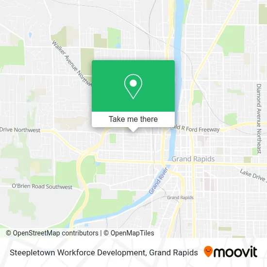
See Steepletown Workforce Development, Grand Rapids, on the map
Public Transit to Steepletown Workforce Development in Grand Rapids
Wondering how to get to Steepletown Workforce Development in Grand Rapids? Moovit helps you find the best way to get to Steepletown Workforce Development with step-by-step directions from the nearest public transit station.
Moovit provides free maps and live directions to help you navigate through your city. View schedules, routes, timetables, and find out how long does it take to get to Steepletown Workforce Development in real time.
Looking for the nearest stop or station to Steepletown Workforce Development? Check out this list of stops closest to your destination: Stocking/2nd (Nb); Lane/Bridge (Nb); Las Canchas (Cw); Grand Rapids Vernon J. Ehlers Station.
Bus: 12, 9, 1000, 51.Train: PERE MARQUETTE.
Want to see if there’s another route that gets you there at an earlier time? Moovit helps you find alternative routes or times. Get directions from and directions to Steepletown Workforce Development easily from the Moovit App or Website.
We make riding to Steepletown Workforce Development easy, which is why over 1.5 million users, including users in Grand Rapids, trust Moovit as the best app for public transit. You don’t need to download an individual bus app or train app, Moovit is your all-in-one transit app that helps you find the best bus time or train time available.
For information on prices of bus, costs and ride fares to Steepletown Workforce Development, please check the Moovit app.
Use the app to navigate to popular places including to the airport, hospital, stadium, grocery store, mall, coffee shop, school, college, and university.
Steepletown Workforce Development Address: 827 Bridge St NW street in Grand Rapids
- Grand Rapids Tax Lawyer Network,
- Bridge Street Market / The Hendrik,
- The Rapid Route #9 Downtown,
- Cherry Street Health Services - West Side Clinic,
- St. Michael the Archangel Ukrainian Greek Catholic Church, Grand Rapids, MI,
- Las Canchas GR,
- Cini Mini Adult Theater,
- DASH Lot Area 9,
- Parking Lot DDH YMCA,
- YMCA - David D. Hunting,
- Fulton & Marion,
- Bridgewater Place Parking Ramp,
- Gerald R. Ford Presidential Museum,
- Gvsu Charles W. Loosemore Auditorium,
- Grand Valley State University - Pew Campus,
- GVSU Seidman College of Business,
- Hager-Lubbers Exhibition Hall,
- Loosemore Auditorium,
- The Grand River Ballroom @ Bridgewater Place,
- Tap-A-Few Bartending Services
Places Near Steepletown Workforce Development (Grand Rapids)
- Byron Center,
- Spectrum Health-Blodgett Hospital, East Grand Rapids,
- Grand Rapids Community College, Grand Rapids,
- Frederik Meijer Gardens, Grand Rapids,
- Union High School, Grand Rapids,
- Helel DeVos Children's Hospital Food Court, Grand Rapids,
- Pine Rest Mental Health, Grand Rapids,
- Woodland Mall, Kentwood,
- Van Andel Arena, Grand Rapids,
- Kent County Courthouse, Grand Rapids,
- John Ball Zoo, Grand Rapids,
- YMCA - David D. Hunting, Grand Rapids,
- Metro Cascade,
- Lemmen-Holton Cancer Pavilion, Grand Rapids,
- Butterworth Hospital Internal Radiology, Grand Rapids,
- Spectrum Health Butterworth Hospital, Grand Rapids,
- University of Michigan Health Metro Health Hospital, Wyoming,
- Hudsonville,
- Grandville, MI, Grandville,
- Blodgett Hospital, East Grand Rapids
How to get to popular places in Grand Rapids with public transit
Get around Grand Rapids by public transit!
Traveling around Grand Rapids has never been so easy. See step by step directions as you travel to any attraction, street or major public transit station. View bus and train schedules, arrival times, service alerts and detailed routes on a map, so you know exactly how to get to anywhere in Grand Rapids.
When traveling to any destination around Grand Rapids use Moovit's Live Directions with Get Off Notifications to know exactly where and how far to walk, how long to wait for your line, and how many stops are left. Moovit will alert you when it's time to get off — no need to constantly re-check whether yours is the next stop.
Wondering how to use public transit in Grand Rapids or how to pay for public transit in Grand Rapids? Moovit public transit app can help you navigate your way with public transit easily, and at minimum cost. It includes public transit fees, ticket prices, and costs. Looking for a map of Grand Rapids public transit lines? Moovit public transit app shows all public transit maps in Grand Rapids with all Bus and Train routes and stops on an interactive map.
Grand Rapids has 2 transit type(s), including: Bus and Train, operated by several transit agencies, including The Rapid, Amtrak and FlixBus-us