Directions to Stephens Precision (Orange) with public transportation
The following transit lines have routes that pass near Stephens Precision
How to get to Stephens Precision by bus?
Click on the bus route to see step by step directions with maps, line arrival times and updated time schedules.
From Wing's Fairlee Irving, Orange
39 minFrom Neal Wallace Dental, Grafton
100 minFrom The Fairlee Inn, Orange
38 minFrom 143 Evergreen Dr, Orange
50 minFrom Kaylee Heathe, Real Estate Agent, Grafton
70 minFrom Town of Newbury, Orange
39 minFrom Newbury, VT, Orange
44 minFrom Bible Hill Greenhouse, Orange
44 min
Bus stop near Stephens Precision in Orange
- Upper Valley Services, Bradford, 3 min walk,VIEW
Bus lines to Stephens Precision in Orange
- BRADFORD AREA CIRCULATOR, Little Rivers Health Clinic Wells River,VIEW
What are the closest stations to Stephens Precision?
The closest stations to Stephens Precision are:
- Upper Valley Services, Bradford is 167 yards away, 3 min walk.
Which bus lines stop near Stephens Precision?
These bus lines stop near Stephens Precision: BRADFORD AREA CIRCULATOR, RIVER ROUTE.
What’s the nearest bus station to Stephens Precision in Orange?
The nearest bus station to Stephens Precision in Orange is Upper Valley Services, Bradford. It’s a 3 min walk away.
What time is the first bus to Stephens Precision in Orange?
The BRADFORD AREA CIRCULATOR is the first bus that goes to Stephens Precision in Orange. It stops nearby at 8:14 AM.
What time is the last bus to Stephens Precision in Orange?
The BRADFORD AREA CIRCULATOR is the last bus that goes to Stephens Precision in Orange. It stops nearby at 1:03 PM.
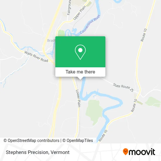
See Stephens Precision, Orange, on the map
Public Transit to Stephens Precision in Orange
Wondering how to get to Stephens Precision in Orange? Moovit helps you find the best way to get to Stephens Precision with step-by-step directions from the nearest public transit station.
Moovit provides free maps and live directions to help you navigate through your city. View schedules, routes, timetables, and find out how long does it take to get to Stephens Precision in real time.
Looking for the nearest stop or station to Stephens Precision? Check out this list of stops closest to your destination: Upper Valley Services.
Bus: BRADFORD AREA CIRCULATOR, RIVER ROUTE.
Want to see if there’s another route that gets you there at an earlier time? Moovit helps you find alternative routes or times. Get directions from and directions to Stephens Precision easily from the Moovit App or Website.
We make riding to Stephens Precision easy, which is why over 1.5 million users, including users in Orange, trust Moovit as the best app for public transit. You don’t need to download an individual bus app or train app, Moovit is your all-in-one transit app that helps you find the best bus time or train time available.
For information on prices of bus, costs and ride fares to Stephens Precision, please check the Moovit app.
Use the app to navigate to popular places including to the airport, hospital, stadium, grocery store, mall, coffee shop, school, college, and university.
Stephens Precision Address: 293 Industrial Dr street in Orange
- Tool Barn,
- Junctionshop Auto and Repair,
- Northstar Fireworks-St,
- Exxon,
- Bradford Flower Shop,
- Redbox,
- FMS Auto Parts,
- Bradford Fair,
- Little Rivers,
- Not A Bakery,
- The River Bar,
- Bradford, Vermont,
- Abby Copeland,
- Rae's Corner Cafe,
- Out of the Whey Cheese,
- Red E,
- Paige and Campbell,
- Law Office of Jeffery L Taylor,
- Bradford Congregational Church - United Church of Christ,
- Bradford Psychiatric Assoc
Places Near Stephens Precision (Orange)
- Sugarbush Resort,
- Derby Line Stanstead Border Crossing,
- MVU,
- Castleton, VT, Rutland,
- Xxxxxxxxxxxxx, Chittenden,
- Dartmouth-Hitchcock Medical Center, Clinical Systems, Grafton,
- WXXX, Chittenden,
- Rutland, VT, Rutland,
- University of Vermont Medical Center - Fanny Allen Campus, Chittenden,
- Waterbury, VT,
- GLOBALFOUNDRIES, Chittenden,
- Ecco,
- Missisquoi River Basin Association,
- Champlain Valley Exposition, Chittenden,
- Barre, VT,
- Castleton University, Rutland,
- Richford Auto,
- Springfield, VT, Windsor,
- Hannaford, Rutland,
- Spring Step
How to get to popular places in Vermont with public transit
Get around Orange by public transit!
Traveling around Orange has never been so easy. See step by step directions as you travel to any attraction, street or major public transit station. View bus and train schedules, arrival times, service alerts and detailed routes on a map, so you know exactly how to get to anywhere in Orange.
When traveling to any destination around Orange use Moovit's Live Directions with Get Off Notifications to know exactly where and how far to walk, how long to wait for your line, and how many stops are left. Moovit will alert you when it's time to get off — no need to constantly re-check whether yours is the next stop.
Wondering how to use public transit in Orange or how to pay for public transit in Orange? Moovit public transit app can help you navigate your way with public transit easily, and at minimum cost. It includes public transit fees, ticket prices, and costs. Looking for a map of Orange public transit lines? Moovit public transit app shows all public transit maps in Orange with all Bus, Train and Ferry routes and stops on an interactive map.
Vermont has 3 transit type(s), including: Bus, Train and Ferry, operated by several transit agencies, including Green Mountain Transit, Wilmington MOOver, Advance Transit, Vermont Translines, Rockingham MOOver, The Bus (Marble Valley Regional Transit District), Green Mountain Express, Rural Community Transportation, Addison County Transit Resources, Stagecoach Transportation Services, Amtrak, Greyhound-us, Dartmouth Campus Connector and Lake Champlain Ferries