Directions to Stitch'N Time Sewing (Staunton) with public transportation
The following transit lines have routes that pass near Stitch'N Time Sewing
 Bus: 250 CONNECTOR, BRCC SOUTH, WEST / NORTH LOOP, BRCC NORTH.
- Train: CARDINAL.
How to get to Stitch'N Time Sewing by bus?
Click on the bus route to see step by step directions with maps, line arrival times and updated time schedules.
Bus stops near Stitch'N Time Sewing in Staunton
- Terry Court Shopping Center, 8 min walk,VIEW
Train station near Stitch'N Time Sewing in Staunton
- Staunton Amtrak Station, 32 min walk,VIEW
Bus lines to Stitch'N Time Sewing in Staunton
What are the closest stations to Stitch'N Time Sewing?
The closest stations to Stitch'N Time Sewing are:
- Terry Court Shopping Center is 655 yards away, 8 min walk.
- Staunton Amtrak Station is 2671 yards away, 32 min walk.
Which bus lines stop near Stitch'N Time Sewing?
These bus lines stop near Stitch'N Time Sewing: 250 CONNECTOR, BRCC SOUTH.
Which train line stops near Stitch'N Time Sewing?
CARDINAL (Chicago)
What’s the nearest bus station to Stitch'N Time Sewing in Staunton?
The nearest bus station to Stitch'N Time Sewing in Staunton is Terry Court Shopping Center. It’s a 8 min walk away.
What time is the first bus to Stitch'N Time Sewing in Staunton?
The WEST / NORTH LOOP is the first bus that goes to Stitch'N Time Sewing in Staunton. It stops nearby at 7:08 AM.
What time is the last bus to Stitch'N Time Sewing in Staunton?
The WEST / NORTH LOOP is the last bus that goes to Stitch'N Time Sewing in Staunton. It stops nearby at 7:10 PM.
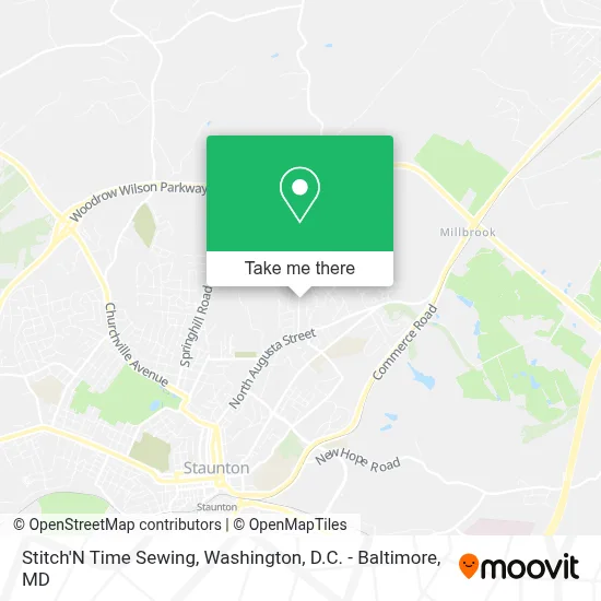
See Stitch'N Time Sewing, Staunton, on the map
Public Transit to Stitch'N Time Sewing in Staunton
Wondering how to get to Stitch'N Time Sewing in Staunton? Moovit helps you find the best way to get to Stitch'N Time Sewing with step-by-step directions from the nearest public transit station.
Moovit provides free maps and live directions to help you navigate through your city. View schedules, routes, timetables, and find out how long does it take to get to Stitch'N Time Sewing in real time.
Looking for the nearest stop or station to Stitch'N Time Sewing? Check out this list of stops closest to your destination: Terry Court Shopping Center; Staunton Amtrak Station.
Bus: 250 CONNECTOR, BRCC SOUTH, WEST / NORTH LOOP, BRCC NORTH.Train: CARDINAL.
Want to see if there’s another route that gets you there at an earlier time? Moovit helps you find alternative routes or times. Get directions from and directions to Stitch'N Time Sewing easily from the Moovit App or Website.
We make riding to Stitch'N Time Sewing easy, which is why over 1.7 million users, including users in Staunton, trust Moovit as the best app for public transit. You don’t need to download an individual bus app or train app, Moovit is your all-in-one transit app that helps you find the best bus time or train time available.
For information on prices of bus and train, costs and ride fares to Stitch'N Time Sewing, please check the Moovit app.
Use the app to navigate to popular places including to the airport, hospital, stadium, grocery store, mall, coffee shop, school, college, and university.
Stitch'N Time Sewing Address: 51 Woodland Dr street in Staunton
- Forest Hill,
- Beverley Hills,
- Lee Hi Court,
- Aflac,
- Gold Fish Game Room,
- Jewish Cemetery,
- Saint John United Methodist Church,
- Cable Holdco Exchange V,
- Woodlee,
- Trace Homeowners Association,
- Baugher,
- Northwood Condominium,
- Valley Pike,
- Madison Square Condominium1,
- Woodland,
- Clifton Knolls Townhome Condominium,
- Christ Lutheran Church,
- Bethesda / Upstream Rehabilitation Physical Therapy,
- Baldwin Acres,
- Big Valley Law
Places Near Stitch'N Time Sewing (Staunton)
- PG Mall, Prince George's County,
- Washington National Cathedral, Washington,
- Capital One Arena, Washington,
- Rock Creek Tennis Center, Washington,
- Amazon Hq2, Arlington County,
- National Theatre, Washington,
- Marriott Marquis Washington, DC, Washington,
- Pennsylvania Ave NW (3rd st and pennsylvania), Washington,
- Museum Of The Bible, Washington,
- Warner Theatre, Washington,
- Washington DC VA Medical Center, Washington,
- M&T Bank Stadium, Baltimore,
- Sibley Memorial Hospital, Washington,
- Westfield Montgomery Mall, Montgomery County,
- Georgetown, Washington,
- National Museum of African American History and Culture, Washington,
- The Anthem, Washington,
- Camden Yards, Baltimore,
- Basilica of the National Shrine, Washington,
- National Zoo, Washington
How to get to popular places in Washington, D.C. - Baltimore, MD with public transit
Get around Staunton by public transit!
Traveling around Staunton has never been so easy. See step by step directions as you travel to any attraction, street or major public transit station. View bus and train schedules, arrival times, service alerts and detailed routes on a map, so you know exactly how to get to anywhere in Staunton.
When traveling to any destination around Staunton use Moovit's Live Directions with Get Off Notifications to know exactly where and how far to walk, how long to wait for your line, and how many stops are left. Moovit will alert you when it's time to get off — no need to constantly re-check whether yours is the next stop.
Wondering how to use public transit in Staunton or how to pay for public transit in Staunton? Moovit public transit app can help you navigate your way with public transit easily, and at minimum cost. It includes public transit fees, ticket prices, and costs. Looking for a map of Staunton public transit lines? Moovit public transit app shows all public transit maps in Staunton with all Bus, Train, Metro, Light Rail and Ferry routes and stops on an interactive map.
Washington, D.C. - Baltimore, MD has 5 transit type(s), including: Bus, Train, Metro, Light Rail and Ferry, operated by several transit agencies, including WMATA, Montgomery County Ride On, Fairfax Connector, TheBus, PRTC, DASH - Alexandria, Arlington Transit (ART), RTA of Central Maryland, MDOT MTA, MDOT MTA Light RailLink, MDOT MTA Commuter Bus, MDOT MTA Local Bus, FXBGO!, Virginia Railway Express (VRE) and MARC