Directions to Storeease (Roanoke) with public transportation
The following transit lines have routes that pass near Storeease
 Bus: 51, GREYHOUND US0600, 52, 55, 56.
- Train: NORTHEAST REGIONAL.
How to get to Storeease by bus?
Click on the bus route to see step by step directions with maps, line arrival times and updated time schedules.
How to get to Storeease by train?
Click on the train route to see step by step directions with maps, line arrival times and updated time schedules.
Train station near Storeease in Roanoke
- Roanoke, 2 min walk,VIEW
Bus stops near Storeease in Roanoke
Bus lines to Storeease in Roanoke
What are the closest stations to Storeease?
The closest stations to Storeease are:
- Roanoke is 78 yards away, 2 min walk.
- Franklin Nb at Roberts Rd is 192 yards away, 4 min walk.
- Franklin Sb at Roberts (Carilion Laundry) is 215 yards away, 4 min walk.
- Colonial Nb at 220s On-Ramp is 1262 yards away, 16 min walk.
- Colonial Sb at 220s On-Ramp (The Roanoker) is 1262 yards away, 16 min walk.
Which bus lines stop near Storeease?
These bus lines stop near Storeease: 51, GREYHOUND US0600.
Which train line stops near Storeease?
NORTHEAST REGIONAL (Roanoke)
What’s the nearest train station to Storeease in Roanoke?
The nearest train station to Storeease in Roanoke is Roanoke. It’s a 2 min walk away.
What’s the nearest bus station to Storeease in Roanoke?
The nearest bus stations to Storeease in Roanoke are Franklin Nb at Roberts Rd and Franklin Sb at Roberts (Carilion Laundry). The closest one is a 4 min walk away.
What time is the first train to Storeease in Roanoke?
The NORTHEAST REGIONAL is the first train that goes to Storeease in Roanoke. It stops nearby at 9:35 AM.
What time is the last train to Storeease in Roanoke?
The NORTHEAST REGIONAL is the last train that goes to Storeease in Roanoke. It stops nearby at 10:13 PM.
What time is the first bus to Storeease in Roanoke?
The 52 is the first bus that goes to Storeease in Roanoke. It stops nearby at 5:50 AM.
What time is the last bus to Storeease in Roanoke?
The 51 is the last bus that goes to Storeease in Roanoke. It stops nearby at 8:34 PM.
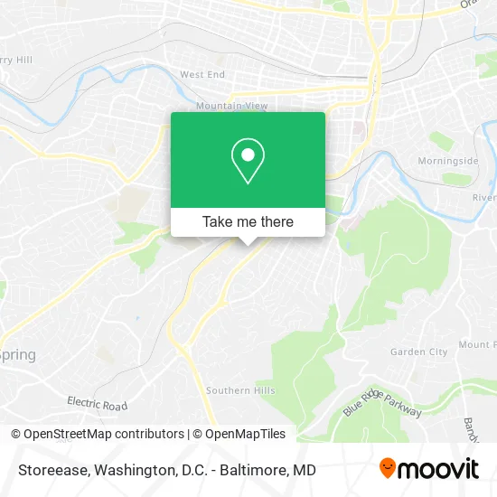
See Storeease, Roanoke, on the map
Public Transit to Storeease in Roanoke
Wondering how to get to Storeease in Roanoke? Moovit helps you find the best way to get to Storeease with step-by-step directions from the nearest public transit station.
Moovit provides free maps and live directions to help you navigate through your city. View schedules, routes, timetables, and find out how long does it take to get to Storeease in real time.
Looking for the nearest stop or station to Storeease? Check out this list of stops closest to your destination: Roanoke; Franklin Nb at Roberts Rd; Franklin Sb at Roberts (Carilion Laundry); Colonial Nb at 220s On-Ramp; Colonial Sb at 220s On-Ramp (The Roanoker).
Bus: 51, GREYHOUND US0600, 52, 55, 56.Train: NORTHEAST REGIONAL.
Want to see if there’s another route that gets you there at an earlier time? Moovit helps you find alternative routes or times. Get directions from and directions to Storeease easily from the Moovit App or Website.
We make riding to Storeease easy, which is why over 1.5 million users, including users in Roanoke, trust Moovit as the best app for public transit. You don’t need to download an individual bus app or train app, Moovit is your all-in-one transit app that helps you find the best bus time or train time available.
For information on prices of bus and train, costs and ride fares to Storeease, please check the Moovit app.
Use the app to navigate to popular places including to the airport, hospital, stadium, grocery store, mall, coffee shop, school, college, and university.
Storeease Address: 2743 Franklin Rd SW Roanoke, VA 24014 street in Roanoke
- Budget Motels,
- Atlantic Credit and Finance,
- McDonald's,
- McCafe,
- Food Service Partners,
- Carilion Materials Management,
- Totally Digital,
- Roanoke Kung Fu Association,
- H.C. Baker Batteries & Electronics,
- Homing Tours,
- Enterprise,
- Babies and Children,
- Update Uniforms,
- Jordan's Custom Framing & Art,
- Roanoke Animal Hospital,
- Finkler Mark R,
- Thomas Blaszak DVM,
- BMW of Roanoke,
- BMW Roanoke,
- Surreala Coffee
Places Near Storeease (Roanoke)
- Sibley Memorial Hospital, Washington,
- National Museum of African American History and Culture, Washington,
- Amazon Hq2, Arlington County,
- National Zoo, Washington,
- Marriott Marquis Washington, DC, Washington,
- Camden Yards, Baltimore,
- National Mall, Washington,
- Museum Of The Bible, Washington,
- PG Mall, Prince George's County,
- Warner Theatre, Washington,
- Pennsylvania Ave NW (3rd st and pennsylvania), Washington,
- Basilica of the National Shrine, Washington,
- Westfield Montgomery Mall, Montgomery County,
- Washington National Cathedral, Washington,
- Capital One Arena, Washington,
- Rock Creek Tennis Center, Washington,
- M&T Bank Stadium, Baltimore,
- Washington DC VA Medical Center, Washington,
- Georgetown, Washington,
- The Anthem, Washington
How to get to popular places in Washington, D.C. - Baltimore, MD with public transit
Get around Roanoke by public transit!
Traveling around Roanoke has never been so easy. See step by step directions as you travel to any attraction, street or major public transit station. View bus and train schedules, arrival times, service alerts and detailed routes on a map, so you know exactly how to get to anywhere in Roanoke.
When traveling to any destination around Roanoke use Moovit's Live Directions with Get Off Notifications to know exactly where and how far to walk, how long to wait for your line, and how many stops are left. Moovit will alert you when it's time to get off — no need to constantly re-check whether yours is the next stop.
Wondering how to use public transit in Roanoke or how to pay for public transit in Roanoke? Moovit public transit app can help you navigate your way with public transit easily, and at minimum cost. It includes public transit fees, ticket prices, and costs. Looking for a map of Roanoke public transit lines? Moovit public transit app shows all public transit maps in Roanoke with all Bus, Train, Metro, Light Rail and Ferry routes and stops on an interactive map.
Washington, D.C. - Baltimore, MD has 5 transit type(s), including: Bus, Train, Metro, Light Rail and Ferry, operated by several transit agencies, including WMATA, Montgomery County Ride On, Fairfax Connector, TheBus, PRTC, DASH - Alexandria, Arlington Transit (ART), RTA of Central Maryland, MDOT MTA, MDOT MTA Light RailLink, MDOT MTA Commuter Bus, MDOT MTA Local Bus, FXBGO!, Virginia Railway Express (VRE) and MARC