How to get to Strand by bus?
Click on the bus route to see step by step directions with maps, line arrival times and updated time schedules.
From Cia Headquarters, Fairfax County
82 minFrom McLean, Virginia, Fairfax County
82 minFrom Ellsworth Place, Montgomery County
67 minFrom Adventist HealthCare Shady Grove Medical Center, Montgomery County
54 minFrom Silver Spring, Maryland, Montgomery County
63 minFrom Millie’S, Washington
51 minFrom Politics and Prose, Washington
83 minFrom Wheaton High School, Montgomery County
50 minFrom Clyde's of Chevy Chase, Montgomery County
55 minFrom Sibley Memorial Hospital, Washington
79 min
Bus stops near Strand in Montgomery County
Bus lines to Strand in Montgomery County
What are the closest stations to Strand?
The closest stations to Strand are:
- Fernwood Rd & Winnepeg Rd is 566 yards away, 7 min walk.
- Democracy Bv & Fernwood Rd is 750 yards away, 9 min walk.
- Fernwood Rd & Democracy Bv is 760 yards away, 10 min walk.
- Fernwood Rd & Camalier Bldg Nb is 908 yards away, 11 min walk.
- Fernwood Rd & Marriott Dr is 1191 yards away, 15 min walk.
Which bus lines stop near Strand?
These bus lines stop near Strand: 26, 47, M70.
What’s the nearest bus station to Strand in Montgomery County?
The nearest bus station to Strand in Montgomery County is Fernwood Rd & Winnepeg Rd. It’s a 7 min walk away.
What time is the first bus to Strand in Montgomery County?
The 26 is the first bus that goes to Strand in Montgomery County. It stops nearby at 4:26 AM.
What time is the last bus to Strand in Montgomery County?
The M70 is the last bus that goes to Strand in Montgomery County. It stops nearby at 2:13 AM.
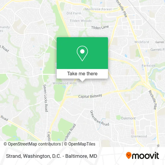
See Strand, Montgomery County, on the map
Public Transit to Strand in Montgomery County
Wondering how to get to Strand in Montgomery County? Moovit helps you find the best way to get to Strand with step-by-step directions from the nearest public transit station.
Moovit provides free maps and live directions to help you navigate through your city. View schedules, routes, timetables, and find out how long does it take to get to Strand in real time.
Looking for the nearest stop or station to Strand? Check out this list of stops closest to your destination: Fernwood Rd & Winnepeg Rd; Democracy Bv & Fernwood Rd; Fernwood Rd & Democracy Bv; Fernwood Rd & Camalier Bldg Nb; Fernwood Rd & Marriott Dr.
Bus: 26, 47, M70, 96, 505, 515, 6.
Want to see if there’s another route that gets you there at an earlier time? Moovit helps you find alternative routes or times. Get directions from and directions to Strand easily from the Moovit App or Website.
We make riding to Strand easy, which is why over 1.5 million users, including users in Montgomery County, trust Moovit as the best app for public transit. You don’t need to download an individual bus app or train app, Moovit is your all-in-one transit app that helps you find the best bus time or train time available.
For information on prices of bus and metro, costs and ride fares to Strand, please check the Moovit app.
Use the app to navigate to popular places including to the airport, hospital, stadium, grocery store, mall, coffee shop, school, college, and university.
Strand Address: 6758 Surreywood Ln Bethesda, MD 20817 street in Montgomery County
- MD Blind Guy,
- Fernwood, Maryland,
- Embassy Suites-Bethesda Washington DC,
- Brighton Locksmith,
- 6669 Democracy Blvd Parking,
- Focus Administrative Management Consultants,
- Pbi2,
- Guaranteed Rate,
- Maximiliano Saavedra - Financial Advisor, Ameriprise Financial Services,
- Ameriprise Financial,
- Quality Innovation,
- The Credle Group,
- Grandview Sales,
- Lifestyle Paving & Masonry,
- JC & AS Entertainment,
- Travelsfare,
- Renewme Fitness,
- Symantec Corporation,
- Rebel Roofer,
- SJT Improvement Services LLC
Places Near Strand (Montgomery County)
- National Zoo, Washington,
- Washington National Cathedral, Washington,
- Capital One Arena, Washington,
- M&T Bank Stadium, Baltimore,
- Warner Theatre, Washington,
- PG Mall, Prince George's County,
- The Anthem, Washington,
- Pennsylvania Ave NW (3rd st and pennsylvania), Washington,
- Museum Of The Bible, Washington,
- Camden Yards, Baltimore,
- Marriott Marquis Washington, DC, Washington,
- Sibley Memorial Hospital, Washington,
- National Theatre, Washington,
- Rock Creek Tennis Center, Washington,
- National Museum of African American History and Culture, Washington,
- Washington DC VA Medical Center, Washington,
- Basilica of the National Shrine, Washington,
- Amazon Hq2, Arlington County,
- Westfield Montgomery Mall, Montgomery County,
- Georgetown, Washington
How to get to popular places in Washington, D.C. - Baltimore, MD with public transit
Get around Montgomery County by public transit!
Traveling around Montgomery County has never been so easy. See step by step directions as you travel to any attraction, street or major public transit station. View bus and train schedules, arrival times, service alerts and detailed routes on a map, so you know exactly how to get to anywhere in Montgomery County.
When traveling to any destination around Montgomery County use Moovit's Live Directions with Get Off Notifications to know exactly where and how far to walk, how long to wait for your line, and how many stops are left. Moovit will alert you when it's time to get off — no need to constantly re-check whether yours is the next stop.
Wondering how to use public transit in Montgomery County or how to pay for public transit in Montgomery County? Moovit public transit app can help you navigate your way with public transit easily, and at minimum cost. It includes public transit fees, ticket prices, and costs. Looking for a map of Montgomery County public transit lines? Moovit public transit app shows all public transit maps in Montgomery County with all Bus, Train, Metro, Light Rail and Ferry routes and stops on an interactive map.
Washington, D.C. - Baltimore, MD has 5 transit type(s), including: Bus, Train, Metro, Light Rail and Ferry, operated by several transit agencies, including WMATA, Montgomery County Ride On, Fairfax Connector, TheBus, PRTC, DASH - Alexandria, Arlington Transit (ART), RTA of Central Maryland, MDOT MTA, MDOT MTA Light RailLink, MDOT MTA Commuter Bus, MDOT MTA Local Bus, FXBGO!, Virginia Railway Express (VRE) and MARC