How to get to Stratton Woods Common Ground by bus?
Click on the bus route to see step by step directions with maps, line arrival times and updated time schedules.
From Leesburg VA-684, Fairfax County
59 minFrom Hollywood Casino at Charles Town Races, Fairfax County
32 minFrom Chantilly, VA, Fairfax County
47 minFrom Fairfax County Government Center, Fairfax County
58 minFrom Dulles Expo Center, Fairfax County
79 minFrom Vienna, Virginia, Fairfax County
74 minFrom Dulles Discovery, Fairfax County
48 minFrom King Spa, Loudoun County
160 minFrom Walmart, Fairfax County
61 minFrom Northern Virginia Community College - Loudoun Campus, Loudoun County
53 min
How to get to Stratton Woods Common Ground by metro?
Click on the metro route to see step by step directions with maps, line arrival times and updated time schedules.
Bus stops near Stratton Woods Common Ground in Fairfax County
Metro station near Stratton Woods Common Ground in Fairfax County
- Reston Town Center, 31 min walk,VIEW
Bus lines to Stratton Woods Common Ground in Fairfax County
What are the closest stations to Stratton Woods Common Ground?
The closest stations to Stratton Woods Common Ground are:
- Glade Dr @ Rosedown Dr is 610 yards away, 8 min walk.
- Glade Drive @ Green Range Drive is 717 yards away, 9 min walk.
- Glade Dr @ Green Range Dr S is 729 yards away, 9 min walk.
- Reston Pkwy @ Glade Dr is 983 yards away, 12 min walk.
- Reston Town Center is 2656 yards away, 31 min walk.
Which bus lines stop near Stratton Woods Common Ground?
These bus lines stop near Stratton Woods Common Ground: 605, RIBS2, RIBS3.
Which metro line stops near Stratton Woods Common Ground?
SILVER (Ashburn)
What’s the nearest bus station to Stratton Woods Common Ground in Fairfax County?
The nearest bus station to Stratton Woods Common Ground in Fairfax County is Glade Dr @ Rosedown Dr. It’s a 8 min walk away.
What time is the first metro to Stratton Woods Common Ground in Fairfax County?
The SILVER is the first metro that goes to Stratton Woods Common Ground in Fairfax County. It stops nearby at 5:00 AM.
What time is the last metro to Stratton Woods Common Ground in Fairfax County?
The SILVER is the last metro that goes to Stratton Woods Common Ground in Fairfax County. It stops nearby at 12:55 AM.
What time is the first bus to Stratton Woods Common Ground in Fairfax County?
The RIBS2 is the first bus that goes to Stratton Woods Common Ground in Fairfax County. It stops nearby at 4:29 AM.
What time is the last bus to Stratton Woods Common Ground in Fairfax County?
The RIBS2 is the last bus that goes to Stratton Woods Common Ground in Fairfax County. It stops nearby at 12:43 AM.
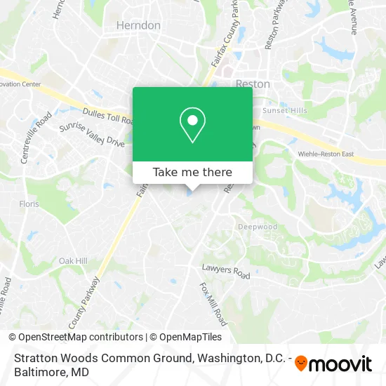
See Stratton Woods Common Ground, Fairfax County, on the map
Public Transit to Stratton Woods Common Ground in Fairfax County
Wondering how to get to Stratton Woods Common Ground in Fairfax County? Moovit helps you find the best way to get to Stratton Woods Common Ground with step-by-step directions from the nearest public transit station.
Moovit provides free maps and live directions to help you navigate through your city. View schedules, routes, timetables, and find out how long does it take to get to Stratton Woods Common Ground in real time.
Looking for the nearest stop or station to Stratton Woods Common Ground? Check out this list of stops closest to your destination: Glade Dr @ Rosedown Dr; Glade Drive @ Green Range Drive; Glade Dr @ Green Range Dr S; Reston Pkwy @ Glade Dr; Reston Town Center.
Bus: 605, RIBS2, RIBS3, RIBS1, 553.Metro: SILVER.
Want to see if there’s another route that gets you there at an earlier time? Moovit helps you find alternative routes or times. Get directions from and directions to Stratton Woods Common Ground easily from the Moovit App or Website.
We make riding to Stratton Woods Common Ground easy, which is why over 1.5 million users, including users in Fairfax County, trust Moovit as the best app for public transit. You don’t need to download an individual bus app or train app, Moovit is your all-in-one transit app that helps you find the best bus time or train time available.
For information on prices of bus and metro, costs and ride fares to Stratton Woods Common Ground, please check the Moovit app.
Use the app to navigate to popular places including to the airport, hospital, stadium, grocery store, mall, coffee shop, school, college, and university.
Location: Fairfax County, Washington, D.C. - Baltimore, MD
- TBRG,
- Inqyre Research Group,
- KC Day Spa,
- Unissant,
- Fire Protective Smoke Curtains,
- Sap Practice,
- A D T,
- About & Testimonials,
- My Nova Contractor,
- Waldo Gutierrez,
- Keya Consulting,
- Southgate Community Center,
- JZL Landscaping Services,
- Reston Glade,
- Whim Pop,
- Flat Rate Computer Solutions,
- Joyce Allred Soccer Field,
- Desy General Contractor,
- Fa Enterprises,
- RTC Realtors -Your Reston Town Center Specialists
Places Near Stratton Woods Common Ground (Fairfax County)
- Pennsylvania Ave NW (3rd st and pennsylvania), Washington,
- Westfield Montgomery Mall, Montgomery County,
- Camden Yards, Baltimore,
- Amazon Hq2, Arlington County,
- Washington National Cathedral, Washington,
- PG Mall, Prince George's County,
- Georgetown, Washington,
- M&T Bank Stadium, Baltimore,
- The Anthem, Washington,
- Rock Creek Tennis Center, Washington,
- National Museum of African American History and Culture, Washington,
- National Zoo, Washington,
- Capital One Arena, Washington,
- Marriott Marquis Washington, DC, Washington,
- Basilica of the National Shrine, Washington,
- Museum Of The Bible, Washington,
- Washington DC VA Medical Center, Washington,
- Warner Theatre, Washington,
- Sibley Memorial Hospital, Washington,
- National Theatre, Washington
How to get to popular places in Washington, D.C. - Baltimore, MD with public transit
Get around Fairfax County by public transit!
Traveling around Fairfax County has never been so easy. See step by step directions as you travel to any attraction, street or major public transit station. View bus and train schedules, arrival times, service alerts and detailed routes on a map, so you know exactly how to get to anywhere in Fairfax County.
When traveling to any destination around Fairfax County use Moovit's Live Directions with Get Off Notifications to know exactly where and how far to walk, how long to wait for your line, and how many stops are left. Moovit will alert you when it's time to get off — no need to constantly re-check whether yours is the next stop.
Wondering how to use public transit in Fairfax County or how to pay for public transit in Fairfax County? Moovit public transit app can help you navigate your way with public transit easily, and at minimum cost. It includes public transit fees, ticket prices, and costs. Looking for a map of Fairfax County public transit lines? Moovit public transit app shows all public transit maps in Fairfax County with all Bus, Train, Metro, Light Rail and Ferry routes and stops on an interactive map.
Washington, D.C. - Baltimore, MD has 5 transit type(s), including: Bus, Train, Metro, Light Rail and Ferry, operated by several transit agencies, including WMATA, Montgomery County Ride On, Fairfax Connector, TheBus, PRTC, DASH - Alexandria, Arlington Transit (ART), RTA of Central Maryland, MDOT MTA, MDOT MTA Light RailLink, MDOT MTA Commuter Bus, MDOT MTA Local Bus, FXBGO!, Virginia Railway Express (VRE) and MARC