How to get to Streaming and Production Video by bus?
Click on the bus route to see step by step directions with maps, line arrival times and updated time schedules.
From Le Jeune Rd / E 49th St, Hialeah
75 minFrom Amelia Earhart Park, Miami
92 minFrom La Cubana Bus Line, Miami
74 minFrom Goodwill, Miami
61 minFrom Alamo Rent A Car, Miami
46 minFrom Kendall Regional Medical Center, Kendale Lakes-Tamiami
96 minFrom NW 79th St / NW 32nd Ave, Miami
77 minFrom La Quinta Inn & Suites Miami Airport East, Miami
29 minFrom Calle Ocho, Miami
69 minFrom Consulado General Del Ecuador en Miami, Miami
63 min
Bus stops near Streaming and Production Video in North Westside
Bus lines to Streaming and Production Video in North Westside
What are the closest stations to Streaming and Production Video?
The closest stations to Streaming and Production Video are:
- Nw 36 St & Nw 82 Av is 324 yards away, 4 min walk.
- Nw 79 Av @ Nw 33 St is 430 yards away, 6 min walk.
- Nw 36 St & East Of # 8050 is 519 yards away, 7 min walk.
- Northwest 79th Avenue/Northwest 36th Street (Hamton Inn) is 729 yards away, 9 min walk.
Which bus lines stop near Streaming and Production Video?
These bus lines stop near Streaming and Production Video: 132, 36, 87, DLOOP2.
What’s the nearest bus station to Streaming and Production Video in North Westside?
The nearest bus station to Streaming and Production Video in North Westside is Nw 36 St & Nw 82 Av. It’s a 4 min walk away.
What time is the first bus to Streaming and Production Video in North Westside?
The 36 is the first bus that goes to Streaming and Production Video in North Westside. It stops nearby at 4:12 AM.
What time is the last bus to Streaming and Production Video in North Westside?
The 36 is the last bus that goes to Streaming and Production Video in North Westside. It stops nearby at 12:41 AM.
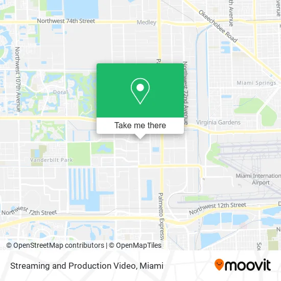
See Streaming and Production Video, North Westside, on the map
Public Transit to Streaming and Production Video in North Westside
Wondering how to get to Streaming and Production Video in North Westside? Moovit helps you find the best way to get to Streaming and Production Video with step-by-step directions from the nearest public transit station.
Moovit provides free maps and live directions to help you navigate through your city. View schedules, routes, timetables, and find out how long does it take to get to Streaming and Production Video in real time.
Looking for the nearest stop or station to Streaming and Production Video? Check out this list of stops closest to your destination: Nw 36 St & Nw 82 Av; Nw 79 Av @ Nw 33 St; Nw 36 St & East Of # 8050; Northwest 79th Avenue/Northwest 36th Street (Hamton Inn).
Bus: 132, 36, 87, DLOOP2, 95, 115.
Want to see if there’s another route that gets you there at an earlier time? Moovit helps you find alternative routes or times. Get directions from and directions to Streaming and Production Video easily from the Moovit App or Website.
We make riding to Streaming and Production Video easy, which is why over 1.5 million users, including users in North Westside, trust Moovit as the best app for public transit. You don’t need to download an individual bus app or train app, Moovit is your all-in-one transit app that helps you find the best bus time or train time available.
For information on prices of bus and train, costs and ride fares to Streaming and Production Video, please check the Moovit app.
Use the app to navigate to popular places including to the airport, hospital, stadium, grocery store, mall, coffee shop, school, college, and university.
Streaming and Production Video Address: 8135 NW 33rd St Miami, FL 33122 street in North Westside
- RBK Aviation,
- My 305 Attorneys,
- State of Art Media,
- Reed Tramsport,
- Premier Properties,
- Ync Insurance Solutions,
- P&L Business Solutions,
- Leon Partners Insurance & Financial,
- Carolina Ochoa,
- Fausto Garofalo,
- Vital Imaging Center - Doral,
- Club Pink Pony,
- Physical 7,
- Movatik,
- Magnabyte Latin America,
- Iberiabank,
- Best Wholesale Office,
- Goosehead Insurance - Raul Loys,
- Earphone Solutions,
- Contarmarket
Places Near Streaming and Production Video (North Westside)
- Wynwood, Miami,
- Miami VA Hospital, Miami,
- Sawgrass Mall, Miami,
- Marlins Park, Miami,
- Richard E. Gerstein Justice Building, Miami,
- Keiser University Flagship Campus, West Palm Beach,
- Sawgrass mall ( FL ), Miami Beach,
- Miami Freedom Park, Miami,
- Miami Design District, Miami,
- Aventura Mall, Miami,
- Brickell City Centre, Miami,
- Dolphin Mall, Miami,
- Dolphin Mall Bus, Miami,
- Hard Rock Stadium, Miami Gardens,
- Little Havana, Miami,
- Aventura Mall, Miami Beach,
- Miami-Dade County Courthouse, Miami,
- Zoo Miami, Miami,
- Bayside Marketplace, Miami,
- Port of Miami Cruise Terminal, Miami
How to get to popular places in Miami with public transit
Get around North Westside by public transit!
Traveling around North Westside has never been so easy. See step by step directions as you travel to any attraction, street or major public transit station. View bus and train schedules, arrival times, service alerts and detailed routes on a map, so you know exactly how to get to anywhere in North Westside.
When traveling to any destination around North Westside use Moovit's Live Directions with Get Off Notifications to know exactly where and how far to walk, how long to wait for your line, and how many stops are left. Moovit will alert you when it's time to get off — no need to constantly re-check whether yours is the next stop.
Wondering how to use public transit in North Westside or how to pay for public transit in North Westside? Moovit public transit app can help you navigate your way with public transit easily, and at minimum cost. It includes public transit fees, ticket prices, and costs. Looking for a map of North Westside public transit lines? Moovit public transit app shows all public transit maps in North Westside with all Bus, Train, Light Rail and Ferry routes and stops on an interactive map.
Miami has 4 transit type(s), including: Bus, Train, Light Rail and Ferry, operated by several transit agencies, including Broward County Transit, Miami-Dade Transit, Metrorail, Palm Tran, Tri-Rail, Brightline, MARTY, City of Homestead Trolley, Key West Transit, Treasure Coast Connector, GoLine IRT, Amtrak, Greyhound-us, FlixBus-us and Aventura Express Shuttle Bus