How to get to Stylesbytee by bus?
Click on the bus route to see step by step directions with maps, line arrival times and updated time schedules.
From The Mall at Prince Georges, Prince George's County
75 minFrom Montgomery College-Takoma Park/Silver Spring, Montgomery County
51 minFrom Intercounty Connector (ICC)/MD 200, Montgomery County
57 minFrom The Fillmore Silver Spring, Montgomery County
38 minFrom Columbia MD-195, Montgomery County
61 minFrom College Park Marriott Hotel & Conference Center, Prince George's County
64 minFrom PG Mall, Prince George's County
59 minFrom Northwestern High School, Prince George's County
66 minFrom Laurel MD-195, Montgomery County
62 minFrom IKEA - College Park, Prince George's County
36 min
Bus stops near Stylesbytee in Montgomery County
Bus lines to Stylesbytee in Montgomery County
What are the closest stations to Stylesbytee?
The closest stations to Stylesbytee are:
- Tech Rd & Old Columbia Pi is 982 yards away, 12 min walk.
- Tech Rd & Columbia Pike is 1002 yards away, 12 min walk.
- Tech Rd Southbound & is 1091 yards away, 14 min walk.
Which bus lines stop near Stylesbytee?
These bus lines stop near Stylesbytee: M44, M52, M54, M60.
What’s the nearest bus station to Stylesbytee in Montgomery County?
The nearest bus stations to Stylesbytee in Montgomery County are Tech Rd & Old Columbia Pi and Tech Rd & Columbia Pike. The closest one is a 12 min walk away.
What time is the first bus to Stylesbytee in Montgomery County?
The M54 is the first bus that goes to Stylesbytee in Montgomery County. It stops nearby at 4:33 AM.
What time is the last bus to Stylesbytee in Montgomery County?
The M54 is the last bus that goes to Stylesbytee in Montgomery County. It stops nearby at 2:08 AM.
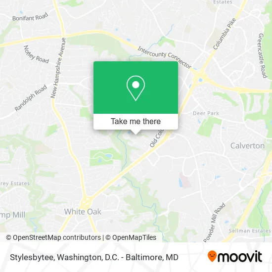
See Stylesbytee, Montgomery County, on the map
Public Transit to Stylesbytee in Montgomery County
Wondering how to get to Stylesbytee in Montgomery County? Moovit helps you find the best way to get to Stylesbytee with step-by-step directions from the nearest public transit station.
Moovit provides free maps and live directions to help you navigate through your city. View schedules, routes, timetables, and find out how long does it take to get to Stylesbytee in real time.
Looking for the nearest stop or station to Stylesbytee? Check out this list of stops closest to your destination: Tech Rd & Old Columbia Pi; Tech Rd & Columbia Pike; Tech Rd Southbound &.
Bus: M44, M52, M54, M60, 27, FLASH.
Want to see if there’s another route that gets you there at an earlier time? Moovit helps you find alternative routes or times. Get directions from and directions to Stylesbytee easily from the Moovit App or Website.
We make riding to Stylesbytee easy, which is why over 1.5 million users, including users in Montgomery County, trust Moovit as the best app for public transit. You don’t need to download an individual bus app or train app, Moovit is your all-in-one transit app that helps you find the best bus time or train time available.
For information on prices of bus, costs and ride fares to Stylesbytee, please check the Moovit app.
Use the app to navigate to popular places including to the airport, hospital, stadium, grocery store, mall, coffee shop, school, college, and university.
Stylesbytee Address: Loft Way Silver Spring, MD 20904 street in Montgomery County
- Get It Done Moving & Junk Removal,
- Mari Miyoshi - Brain Integration Coach,
- Graceful Cleaners,
- Marisela's Cleaning Services,
- Sonder Canine,
- Queenp's Hair Braiding,
- LV Floors & Solutions,
- Corvet's Mission,
- Enthusiastic House Cleaners,
- General Conference of Seventh-Day Adventists,
- Metrobus Route Z9 (Tech Road Park and Ride Lot),
- General Conference of the Seventh Day Adventist Church,
- Help I'm A Parent,
- Mva Maryland Vehicle Administration,
- Tropical Smoothie Cafe,
- Vehicle Emissions Inspection Program (VEIP) Station,
- IHOP (International House of Pancakes),
- Laurie Dr & Montclair Dr,
- Buenvenida Dr,
- Maryland Motor Vehicle Administration (MVA)
Places Near Stylesbytee (Montgomery County)
- Georgetown, Washington,
- Warner Theatre, Washington,
- Marriott Marquis Washington, DC, Washington,
- The Anthem, Washington,
- Museum Of The Bible, Washington,
- Sibley Memorial Hospital, Washington,
- Pennsylvania Ave NW (3rd st and pennsylvania), Washington,
- National Museum of African American History and Culture, Washington,
- Washington National Cathedral, Washington,
- Camden Yards, Baltimore,
- Amazon Hq2, Arlington County,
- Capital One Arena, Washington,
- Washington DC VA Medical Center, Washington,
- M&T Bank Stadium, Baltimore,
- National Theatre, Washington,
- National Zoo, Washington,
- PG Mall, Prince George's County,
- Rock Creek Tennis Center, Washington,
- Westfield Montgomery Mall, Montgomery County,
- Basilica of the National Shrine, Washington
How to get to popular places in Washington, D.C. - Baltimore, MD with public transit
Get around Montgomery County by public transit!
Traveling around Montgomery County has never been so easy. See step by step directions as you travel to any attraction, street or major public transit station. View bus and train schedules, arrival times, service alerts and detailed routes on a map, so you know exactly how to get to anywhere in Montgomery County.
When traveling to any destination around Montgomery County use Moovit's Live Directions with Get Off Notifications to know exactly where and how far to walk, how long to wait for your line, and how many stops are left. Moovit will alert you when it's time to get off — no need to constantly re-check whether yours is the next stop.
Wondering how to use public transit in Montgomery County or how to pay for public transit in Montgomery County? Moovit public transit app can help you navigate your way with public transit easily, and at minimum cost. It includes public transit fees, ticket prices, and costs. Looking for a map of Montgomery County public transit lines? Moovit public transit app shows all public transit maps in Montgomery County with all Bus, Train, Metro, Light Rail and Ferry routes and stops on an interactive map.
Washington, D.C. - Baltimore, MD has 5 transit type(s), including: Bus, Train, Metro, Light Rail and Ferry, operated by several transit agencies, including WMATA, Montgomery County Ride On, Fairfax Connector, TheBus, PRTC, DASH - Alexandria, Arlington Transit (ART), RTA of Central Maryland, MDOT MTA, MDOT MTA Light RailLink, MDOT MTA Commuter Bus, MDOT MTA Local Bus, FXBGO!, Virginia Railway Express (VRE) and MARC