Directions to Subsequent Solutions (Roanoke) with public transportation
The following transit lines have routes that pass near Subsequent Solutions
 Bus: 55, GREYHOUND US0600, 51, 52, 56.
- Train: NORTHEAST REGIONAL.
How to get to Subsequent Solutions by bus?
Click on the bus route to see step by step directions with maps, line arrival times and updated time schedules.
How to get to Subsequent Solutions by train?
Click on the train route to see step by step directions with maps, line arrival times and updated time schedules.
Bus stops near Subsequent Solutions in Roanoke
Train station near Subsequent Solutions in Roanoke
- Roanoke, 39 min walk,VIEW
Bus lines to Subsequent Solutions in Roanoke
What are the closest stations to Subsequent Solutions?
The closest stations to Subsequent Solutions are:
- Mcclanahan Eb at Rosalind is 131 yards away, 2 min walk.
- Mcclanahan Wb at Rosalind is 135 yards away, 2 min walk.
- Franklin Sb at Reserve is 303 yards away, 4 min walk.
- Franklin Nb at Reserve is 307 yards away, 5 min walk.
- Towers Mall at Dunkin Donuts is 401 yards away, 5 min walk.
- Roanoke is 3262 yards away, 39 min walk.
Which bus lines stop near Subsequent Solutions?
These bus lines stop near Subsequent Solutions: 55, GREYHOUND US0600.
Which train line stops near Subsequent Solutions?
NORTHEAST REGIONAL (Roanoke)
What’s the nearest bus station to Subsequent Solutions in Roanoke?
The nearest bus stations to Subsequent Solutions in Roanoke are Mcclanahan Eb at Rosalind and Mcclanahan Wb at Rosalind. The closest one is a 2 min walk away.
What time is the first train to Subsequent Solutions in Roanoke?
The NORTHEAST REGIONAL is the first train that goes to Subsequent Solutions in Roanoke. It stops nearby at 9:35 AM.
What time is the last train to Subsequent Solutions in Roanoke?
The NORTHEAST REGIONAL is the last train that goes to Subsequent Solutions in Roanoke. It stops nearby at 10:13 PM.
What time is the first bus to Subsequent Solutions in Roanoke?
The 52 is the first bus that goes to Subsequent Solutions in Roanoke. It stops nearby at 5:54 AM.
What time is the last bus to Subsequent Solutions in Roanoke?
The 51 is the last bus that goes to Subsequent Solutions in Roanoke. It stops nearby at 8:28 PM.
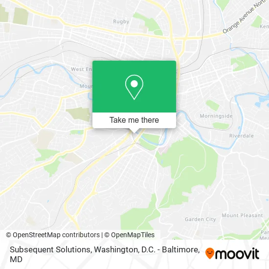
See Subsequent Solutions, Roanoke, on the map
Public Transit to Subsequent Solutions in Roanoke
Wondering how to get to Subsequent Solutions in Roanoke? Moovit helps you find the best way to get to Subsequent Solutions with step-by-step directions from the nearest public transit station.
Moovit provides free maps and live directions to help you navigate through your city. View schedules, routes, timetables, and find out how long does it take to get to Subsequent Solutions in real time.
Looking for the nearest stop or station to Subsequent Solutions? Check out this list of stops closest to your destination: Mcclanahan Eb at Rosalind; Mcclanahan Wb at Rosalind; Franklin Sb at Reserve; Franklin Nb at Reserve; Towers Mall at Dunkin Donuts; Roanoke.
Bus: 55, GREYHOUND US0600, 51, 52, 56, 61.Train: NORTHEAST REGIONAL.
Want to see if there’s another route that gets you there at an earlier time? Moovit helps you find alternative routes or times. Get directions from and directions to Subsequent Solutions easily from the Moovit App or Website.
We make riding to Subsequent Solutions easy, which is why over 1.5 million users, including users in Roanoke, trust Moovit as the best app for public transit. You don’t need to download an individual bus app or train app, Moovit is your all-in-one transit app that helps you find the best bus time or train time available.
For information on prices of bus and train, costs and ride fares to Subsequent Solutions, please check the Moovit app.
Use the app to navigate to popular places including to the airport, hospital, stadium, grocery store, mall, coffee shop, school, college, and university.
Subsequent Solutions Address: 1917 Franklin Rd SW Roanoke, VA 24014 street in Roanoke
- Hamlar for Senate,
- Breath of Life Midwifery,
- Carilion Clinic Hospice,
- Mountain Investigations,
- Lance M Hale & Associates,
- Light of Salvation Intern,
- Advanced Home Care,
- Brambleton Driving School,
- Reid Taxi,
- Positive Impact Ministries,
- Unlimited Power Church,
- Roanoke River Greenway,
- Shrinath Enterprises,
- ATM,
- RAMADA,
- Wyndham,
- A Colonial Ford,
- Lovely Nails,
- Gloss Salon,
- Small Spillway
Places Near Subsequent Solutions (Roanoke)
- The Anthem, Washington,
- Basilica of the National Shrine, Washington,
- Warner Theatre, Washington,
- Marriott Marquis Washington, DC, Washington,
- National Museum of African American History and Culture, Washington,
- Washington National Cathedral, Washington,
- National Mall, Washington,
- National Zoo, Washington,
- Amazon Hq2, Arlington County,
- Camden Yards, Baltimore,
- Westfield Montgomery Mall, Montgomery County,
- Rock Creek Tennis Center, Washington,
- Pennsylvania Ave NW (3rd st and pennsylvania), Washington,
- Washington DC VA Medical Center, Washington,
- Georgetown, Washington,
- Museum Of The Bible, Washington,
- PG Mall, Prince George's County,
- Capital One Arena, Washington,
- Sibley Memorial Hospital, Washington,
- M&T Bank Stadium, Baltimore
How to get to popular places in Washington, D.C. - Baltimore, MD with public transit
Get around Roanoke by public transit!
Traveling around Roanoke has never been so easy. See step by step directions as you travel to any attraction, street or major public transit station. View bus and train schedules, arrival times, service alerts and detailed routes on a map, so you know exactly how to get to anywhere in Roanoke.
When traveling to any destination around Roanoke use Moovit's Live Directions with Get Off Notifications to know exactly where and how far to walk, how long to wait for your line, and how many stops are left. Moovit will alert you when it's time to get off — no need to constantly re-check whether yours is the next stop.
Wondering how to use public transit in Roanoke or how to pay for public transit in Roanoke? Moovit public transit app can help you navigate your way with public transit easily, and at minimum cost. It includes public transit fees, ticket prices, and costs. Looking for a map of Roanoke public transit lines? Moovit public transit app shows all public transit maps in Roanoke with all Bus, Train, Metro, Light Rail and Ferry routes and stops on an interactive map.
Washington, D.C. - Baltimore, MD has 5 transit type(s), including: Bus, Train, Metro, Light Rail and Ferry, operated by several transit agencies, including WMATA, Montgomery County Ride On, Fairfax Connector, TheBus, PRTC, DASH - Alexandria, Arlington Transit (ART), RTA of Central Maryland, MDOT MTA, MDOT MTA Light RailLink, MDOT MTA Commuter Bus, MDOT MTA Local Bus, FXBGO!, Virginia Railway Express (VRE) and MARC